9 Seaside Ln Mount Desert, ME 04660
Estimated Value: $1,244,000 - $4,851,000
4
Beds
3
Baths
1,951
Sq Ft
$1,288/Sq Ft
Est. Value
About This Home
This home is located at 9 Seaside Ln, Mount Desert, ME 04660 and is currently estimated at $2,513,665, approximately $1,288 per square foot. 9 Seaside Ln is a home with nearby schools including Mt Desert Elementary School and Mt. Desert Island High School.
Ownership History
Date
Name
Owned For
Owner Type
Purchase Details
Closed on
Mar 2, 2007
Sold by
Lindquist Muriel T
Bought by
Howell Thekla W and Greenough Thekla H
Current Estimated Value
Home Financials for this Owner
Home Financials are based on the most recent Mortgage that was taken out on this home.
Original Mortgage
$1,000,000
Outstanding Balance
$599,590
Interest Rate
6.27%
Mortgage Type
Unknown
Estimated Equity
$1,914,075
Create a Home Valuation Report for This Property
The Home Valuation Report is an in-depth analysis detailing your home's value as well as a comparison with similar homes in the area
Home Values in the Area
Average Home Value in this Area
Purchase History
| Date | Buyer | Sale Price | Title Company |
|---|---|---|---|
| Howell Thekla W | $1,001 | -- |
Source: Public Records
Mortgage History
| Date | Status | Borrower | Loan Amount |
|---|---|---|---|
| Open | Howell Thekla W | $1,000,000 |
Source: Public Records
Tax History Compared to Growth
Tax History
| Year | Tax Paid | Tax Assessment Tax Assessment Total Assessment is a certain percentage of the fair market value that is determined by local assessors to be the total taxable value of land and additions on the property. | Land | Improvement |
|---|---|---|---|---|
| 2024 | $12,876 | $1,384,500 | $952,500 | $432,000 |
| 2023 | $12,564 | $1,440,800 | $1,008,800 | $432,000 |
| 2022 | $11,584 | $1,440,800 | $1,008,800 | $432,000 |
| 2021 | $11,853 | $1,436,700 | $1,183,900 | $252,800 |
| 2020 | $11,465 | $1,436,700 | $1,183,900 | $252,800 |
| 2019 | $11,422 | $1,436,700 | $1,183,900 | $252,800 |
| 2018 | $11,019 | $1,436,700 | $1,183,900 | $252,800 |
| 2017 | $10,660 | $1,436,700 | $1,183,900 | $252,800 |
| 2016 | $10,445 | $1,436,700 | $1,183,900 | $252,800 |
| 2015 | $10,215 | $1,436,700 | $1,183,900 | $252,800 |
| 2013 | $9,741 | $1,436,700 | $1,183,900 | $252,800 |
Source: Public Records
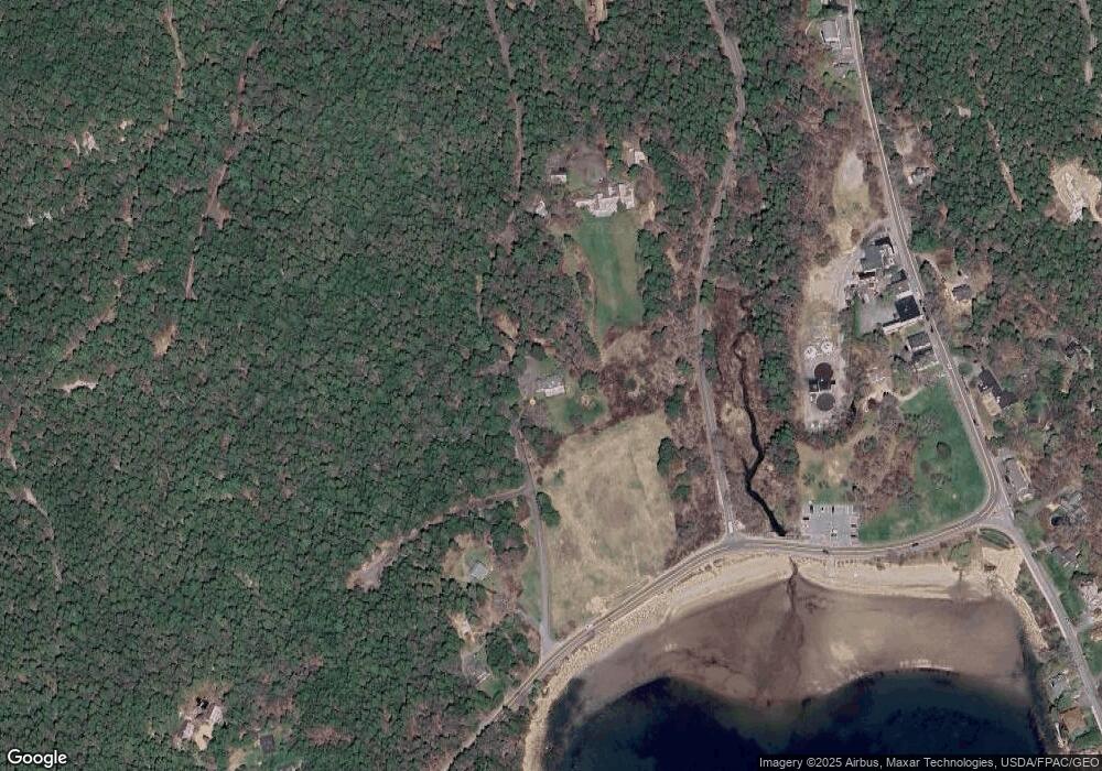
Map
Nearby Homes
- 6 Cliffhanger
- 52 Rock Garden Dr
- 0 Rock Garden Dr
- 8 Wildwood-Seal Harbor Rd
- 93 Cooksey Dr
- 4 Highlands (Northeast Hrbr) Ln
- 87 Peabody Drive (Northeast Hrbr)
- 17 Otter Creek Dr
- 6 Sea St
- 6 Gilpatrick Ln
- 20 Main St
- 16 Millbrook-Northeast Harbor Rd
- 49 Summit Rd
- 30 Neighborhood Rd
- 65 Summit Rd
- 3 and 5 Graves Lane Harbor NE
- 77 Manchester Rd
- 30 Dog Point Rd
- 120 Clark Point Rd
- 332 Seawall Rd
- 2 Seaside Ln
- 290 Peabody Dr
- 18 Main St
- 16 Main Street Seal Habor
- 16 Main St
- 10 Main St
- 1 Main St
- 18 Jordan Pond Rd
- 11 N Main St
- 24 Main St
- 11 Main St
- 7 N Main St
- 26 Main Street Seal Harbor
- oo Main Street Seal Harbor
- 26 N Main St
- 6 Barr Hill Way
- 28 Main St
- 28 W West Street Extension
- 285 Peabody Dr
- 1 Main St