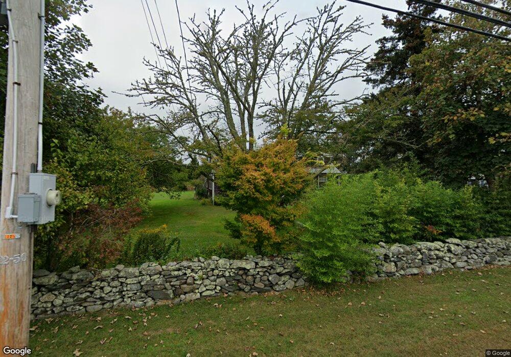
9 Simmons Rd Little Compton, RI 02837
Estimated Value: $752,000 - $927,000
4
Beds
2
Baths
2,376
Sq Ft
$351/Sq Ft
Est. Value
About This Home
This home is located at 9 Simmons Rd, Little Compton, RI 02837 and is currently estimated at $835,005, approximately $351 per square foot. 9 Simmons Rd is a home located in Newport County with nearby schools including Wilbur & McMahon School.
Ownership History
Date
Name
Owned For
Owner Type
Purchase Details
Closed on
Jul 14, 2005
Sold by
Harrington Alden C and Harrington Betty Lee
Bought by
Brooks-Rapp Mark D and Brooks-Rapp Dawn V
Current Estimated Value
Home Financials for this Owner
Home Financials are based on the most recent Mortgage that was taken out on this home.
Original Mortgage
$186,000
Interest Rate
5.67%
Mortgage Type
Purchase Money Mortgage
Purchase Details
Closed on
May 8, 1998
Sold by
Medeiros Mary E Est
Bought by
Qualim Llc
Create a Home Valuation Report for This Property
The Home Valuation Report is an in-depth analysis detailing your home's value as well as a comparison with similar homes in the area
Home Values in the Area
Average Home Value in this Area
Purchase History
| Date | Buyer | Sale Price | Title Company |
|---|---|---|---|
| Brooks-Rapp Mark D | $186,000 | -- | |
| Qualim Llc | $111,000 | -- |
Source: Public Records
Mortgage History
| Date | Status | Borrower | Loan Amount |
|---|---|---|---|
| Open | Qualim Llc | $260,000 | |
| Closed | Qualim Llc | $30,000 | |
| Closed | Qualim Llc | $186,000 | |
| Previous Owner | Qualim Llc | $75,000 |
Source: Public Records
Tax History
| Year | Tax Paid | Tax Assessment Tax Assessment Total Assessment is a certain percentage of the fair market value that is determined by local assessors to be the total taxable value of land and additions on the property. | Land | Improvement |
|---|---|---|---|---|
| 2025 | $2,811 | $586,800 | $210,900 | $375,900 |
| 2024 | $2,322 | $457,100 | $141,700 | $315,400 |
| 2023 | $2,267 | $457,100 | $141,700 | $315,400 |
| 2022 | $2,007 | $409,500 | $141,700 | $267,800 |
| 2021 | $1,633 | $270,300 | $101,400 | $168,900 |
| 2020 | $1,619 | $270,300 | $101,400 | $168,900 |
| 2019 | $1,603 | $270,300 | $101,400 | $168,900 |
| 2018 | $1,635 | $274,300 | $108,600 | $165,700 |
| 2016 | $1,555 | $274,300 | $108,600 | $165,700 |
| 2015 | $1,584 | $275,500 | $105,300 | $170,200 |
| 2014 | $1,554 | $275,500 | $105,300 | $170,200 |
Source: Public Records
Map
Nearby Homes
- 138 Willow Ave
- 0 Willow Ave
- 128 Maple Ave
- 505 Long Hwy
- 141 S Of Commons Rd
- 141 Peckham Rd
- 89 S Shore Rd
- 1 Butts Rock Rd
- 30 Indian Rd
- 255 John Dyer Rd
- 38 Old Bull Ln
- 441 W Main Rd
- 140I Long Hwy
- 140 Long Hwy
- 245 John Dyer Rd
- 17 Ferolbink Way
- 155 W Main Rd
- 116 Amy Hart Path
- 17 Amy Hart Path
- 90 Two Rod Rd
Your Personal Tour Guide
Ask me questions while you tour the home.