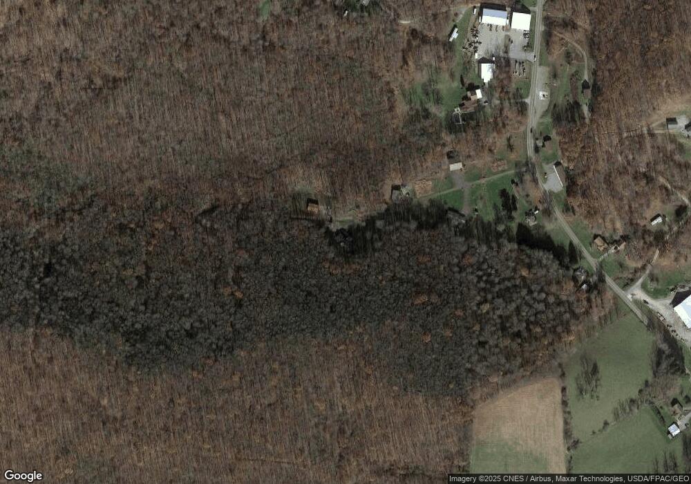
9 Sisters Ln Confluence, PA 15424
Henry Clay Township NeighborhoodEstimated Value: $65,000 - $197,000
3
Beds
2
Baths
1,400
Sq Ft
$94/Sq Ft
Est. Value
About This Home
This home is located at 9 Sisters Ln, Confluence, PA 15424 and is currently estimated at $131,000, approximately $93 per square foot. 9 Sisters Ln is a home located in Fayette County with nearby schools including Uniontown Area Senior High School.
Ownership History
Date
Name
Owned For
Owner Type
Purchase Details
Closed on
Oct 23, 2017
Sold by
Show Julia and Uphold Greg Allen
Bought by
Uphold Greg Allen and Uphold Michelle R
Current Estimated Value
Purchase Details
Closed on
Jan 1, 1968
Bought by
Uphold James and Uphold Betty
Create a Home Valuation Report for This Property
The Home Valuation Report is an in-depth analysis detailing your home's value as well as a comparison with similar homes in the area
Home Values in the Area
Average Home Value in this Area
Purchase History
| Date | Buyer | Sale Price | Title Company |
|---|---|---|---|
| Uphold Greg Allen | -- | None Available | |
| Show Julia | -- | None Available | |
| Uphold James | -- | -- |
Source: Public Records
Tax History Compared to Growth
Tax History
| Year | Tax Paid | Tax Assessment Tax Assessment Total Assessment is a certain percentage of the fair market value that is determined by local assessors to be the total taxable value of land and additions on the property. | Land | Improvement |
|---|---|---|---|---|
| 2025 | $1,136 | $44,405 | $2,330 | $42,075 |
| 2024 | $1,498 | $61,380 | $19,305 | $42,075 |
| 2023 | $2,996 | $61,380 | $19,305 | $42,075 |
| 2022 | $2,996 | $61,380 | $19,305 | $42,075 |
| 2021 | $2,996 | $61,380 | $19,305 | $42,075 |
| 2020 | $2,927 | $61,380 | $19,305 | $42,075 |
| 2019 | $2,689 | $61,380 | $19,305 | $42,075 |
| 2018 | $2,545 | $61,380 | $19,305 | $42,075 |
| 2017 | $3,468 | $83,635 | $41,560 | $42,075 |
| 2016 | -- | $83,635 | $41,560 | $42,075 |
| 2015 | -- | $83,635 | $41,560 | $42,075 |
| 2014 | -- | $167,270 | $83,120 | $84,150 |
Source: Public Records
Map
Nearby Homes
- 0 Walker Rd Unit 11505971
- 171 Mae Rd W
- 309 Dark Hollow Rd
- 100 First Street Lot Unit WP001
- 100 First St
- 000 National Pike
- 390 Tub Run Rd
- 750 Lake Side Rd
- 113 Cross St
- 0 Unit WP001
- 4700 National Pike
- 165 Magnolia Rd
- #5 & #7 Laurel Rd
- 230 Locust Rd
- 442 Bruceton Rd
- 200 Brown Hill Rd
- 367 Pike School Rd
- 338 RaMcAt Rd
- 4564 National Pike
- 280 Main St
- 19 Sisters Ln
- 442 Mae West Rd
- 461 Mae West Rd
- 440 Mae West Rd
- 441 Mae West Rd
- 467 Mae West Rd
- 446 Mae West Rd
- 464 Mae West Rd
- 464 Mae West Rd
- 0 Dark Hollow Rd
- 492 Mae West Rd
- 390 Mae West Rd
- 61 Circle U Rd
- 515 Mae West Rd
- 502 Mae Rd W
- 102 Sickle Ridge Rd
- 348 Mae West Rd
- 294 Mae West Rd
- 290 Mae West Rd
- 296 Mae West Rd
