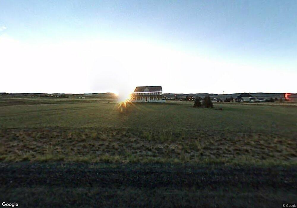
9 Snowy View Rd Laramie, WY 82070
Estimated Value: $705,000 - $729,696
5
Beds
4
Baths
2,650
Sq Ft
$271/Sq Ft
Est. Value
About This Home
This home is located at 9 Snowy View Rd, Laramie, WY 82070 and is currently estimated at $717,348, approximately $270 per square foot. 9 Snowy View Rd is a home with nearby schools including Beitel Elementary School, Laramie Middle School, and Laramie High School.
Ownership History
Date
Name
Owned For
Owner Type
Purchase Details
Closed on
Feb 18, 2016
Sold by
Lay Ross
Bought by
Richardson Heber B and Richardson Jennifer L
Current Estimated Value
Home Financials for this Owner
Home Financials are based on the most recent Mortgage that was taken out on this home.
Original Mortgage
$389,025
Outstanding Balance
$310,325
Interest Rate
3.97%
Mortgage Type
New Conventional
Estimated Equity
$407,023
Create a Home Valuation Report for This Property
The Home Valuation Report is an in-depth analysis detailing your home's value as well as a comparison with similar homes in the area
Home Values in the Area
Average Home Value in this Area
Purchase History
| Date | Buyer | Sale Price | Title Company |
|---|---|---|---|
| Richardson Heber B | -- | Summit Title Services |
Source: Public Records
Mortgage History
| Date | Status | Borrower | Loan Amount |
|---|---|---|---|
| Open | Richardson Heber B | $389,025 |
Source: Public Records
Tax History Compared to Growth
Tax History
| Year | Tax Paid | Tax Assessment Tax Assessment Total Assessment is a certain percentage of the fair market value that is determined by local assessors to be the total taxable value of land and additions on the property. | Land | Improvement |
|---|---|---|---|---|
| 2025 | $4,514 | $44,112 | $8,701 | $35,411 |
| 2024 | $4,514 | $58,571 | $11,155 | $47,416 |
| 2023 | $4,837 | $63,321 | $7,978 | $55,343 |
| 2022 | $4,208 | $55,083 | $7,978 | $47,105 |
| 2021 | $3,447 | $47,965 | $7,379 | $40,586 |
| 2020 | $3,722 | $47,937 | $7,379 | $40,558 |
| 2019 | $3,582 | $45,880 | $7,379 | $38,501 |
| 2018 | $3,447 | $44,511 | $7,685 | $36,826 |
| 2017 | $3,422 | $44,146 | $7,685 | $36,461 |
| 2016 | $3,134 | $39,914 | $7,671 | $32,243 |
| 2015 | $2,829 | $41,549 | $7,671 | $33,878 |
| 2014 | $2,829 | $41,603 | $0 | $0 |
Source: Public Records
Map
Nearby Homes
- TBD Sherman Hill Rd
- 1517 Shetland Dr
- 3210 Evergreen Dr
- 4609 Meadowlark Ln
- 1501 Arabian Dr
- 4746 E Skyline Dr Unit 31
- 4746 E Skyline Dr Unit 47
- 4500 E Meadowlark Ln Unit A
- 4328 Beech St Unit SR1
- 4328 Beech St Unit 7
- 4223 Moraine St
- 4141 Cliff St
- 1702 Walsh Ct Unit C
- 4031 Cliff St
- 1916 Peak Cir
- 4039 Bill Nye Ave
- 4037 Bill Nye Ave
- 429 Bill Nye Ave
- 4033 Bill Nye Ave
- 4029 Bill Nye Ave
- 6586 Pilot Peak Rd
- 6600 Pilot Peak Rd
- 6417 Mountain Mist Ct
- 6617 Black Elk Trail
- 6315 Pilot Peak Rd
- 6342 Pilot Peak Rd
- 12 Snowy View Ct
- 6416 Mountain Mist Ct
- 14 Snowy View Ct
- 6107 Pilot Peak Rd
- 2409 Mountain Valley Dr
- 6407 Windmill Ct
- 2322 Mountain Valley Dr
- 6747 Black Elk Trail
- 2402 Mountain Valley Dr
- 15 Snowy View Ct
- 18 Pistol Gulch Trail
- 2418 Crazy Horse Way
- 2215 Mountain Shadow Ln
- 5947 Bill Nye Ave