Estimated Value: $614,000 - $710,000
3
Beds
2
Baths
1,695
Sq Ft
$383/Sq Ft
Est. Value
About This Home
This home is located at 9 So Field Ct, Ennis, MT 59729 and is currently estimated at $649,707, approximately $383 per square foot. 9 So Field Ct is a home located in Madison County with nearby schools including Ennis Elementary School and Ennis High School.
Ownership History
Date
Name
Owned For
Owner Type
Purchase Details
Closed on
Apr 24, 2024
Sold by
Pintail Ridge Llc
Bought by
Preece Christine J
Current Estimated Value
Home Financials for this Owner
Home Financials are based on the most recent Mortgage that was taken out on this home.
Original Mortgage
$538,900
Outstanding Balance
$530,833
Interest Rate
6.87%
Mortgage Type
New Conventional
Estimated Equity
$118,874
Purchase Details
Closed on
Feb 14, 2022
Sold by
Ennis Mt Land Llc
Bought by
Pintail Ridge Llc
Purchase Details
Closed on
Aug 25, 2021
Sold by
Prime Principle Investments Llc
Bought by
Pintail Ridge Llc
Create a Home Valuation Report for This Property
The Home Valuation Report is an in-depth analysis detailing your home's value as well as a comparison with similar homes in the area
Home Values in the Area
Average Home Value in this Area
Purchase History
We collect this data history from publicly available records. To have your information removed, we recommend requesting removal directly through your county’s website.
| Date | Buyer | Sale Price | Title Company |
|---|---|---|---|
| Preece Christine J | -- | Chicago Title Company | |
| Pintail Ridge Llc | -- | First American Title | |
| Pintail Ridge Llc | -- | American Land Title |
Source: Public Records
Mortgage History
We collect this data history from publicly available records. To have your information removed, we recommend requesting removal directly through your county’s website.
| Date | Status | Borrower | Loan Amount |
|---|---|---|---|
| Open | Preece Christine J | $538,900 |
Source: Public Records
Tax History
| Year | Tax Paid | Tax Assessment Tax Assessment Total Assessment is a certain percentage of the fair market value that is determined by local assessors to be the total taxable value of land and additions on the property. | Land | Improvement |
|---|---|---|---|---|
| 2025 | $1,318 | $624,000 | $0 | $0 |
| 2024 | $1,913 | $566,200 | $0 | $0 |
| 2023 | $1,892 | $566,200 | $0 | $0 |
| 2022 | $210 | $49,137 | $0 | $0 |
| 2021 | $170 | $49,137 | $0 | $0 |
| 2020 | $212 | $46,774 | $0 | $0 |
| 2019 | $214 | $46,774 | $0 | $0 |
| 2018 | $259 | $56,210 | $0 | $0 |
| 2017 | $218 | $56,210 | $0 | $0 |
| 2016 | $274 | $57,580 | $0 | $0 |
| 2015 | $275 | $57,580 | $0 | $0 |
| 2014 | $354 | $44,038 | $0 | $0 |
Source: Public Records
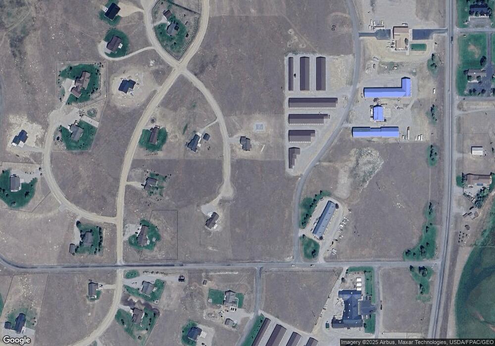
Map
Nearby Homes
- NHN Sky View Dr
- 5 Killdeer Ct
- 13 Blue Wing Rd
- 56 Sky View Dr
- 15 Sky View
- 14 Cinnamon Teal Rd
- Pintail Ridge Lot 10 Pintail Ridge Rd
- 450 Loomis Way
- 450 Loomis Way Unit A
- 450 Loomis Way Unit C
- 450 Loomis Way Unit D
- 450 Loomis Way Unit B
- 206 Otis Ave
- 420 Sage Ave Unit A
- 421 Otis Ave
- TBD Otis Ave
- Lot 6 Block 5 North Forty
- Lot 2 Block 5 North Forty
- Lots 2, 3, 4 and 6, Block 5 North Forty
- Lot 3 Block 5 North Forty
- Lot 78 S Field Ct
- 78 S Field Ct
- 9 S Field Ct
- Lot 77 Sky View
- Lot 73 Sky View
- Lot 72 Sky View
- 100 Sky View
- Lot 72 Sky View Subdivision
- 103 Sky View Dr
- Prairie Way
- 92 Sky View
- Lot 40 Sky View Dr
- Lot 16 Sky View Dr
- Lot 18 Sky View Dr
- Lot 80 Sky View Dr
- Lot 56 Sky View Dr
- Lot 31 Sky View Dr
- Lot 81 Sky View Dr
- Lot 78 Sky View Dr
- LOT 42 Sky View Dr
Your Personal Tour Guide
Ask me questions while you tour the home.