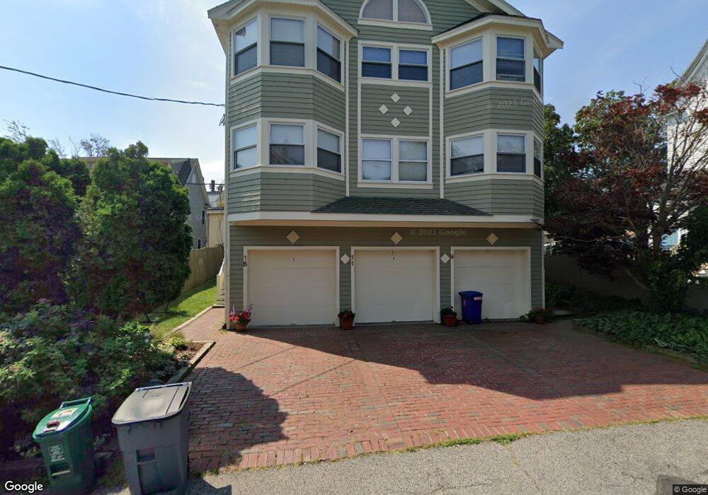
9 Spruce Ave Cambridge, MA 02138
Strawberry Hill NeighborhoodEstimated Value: $831,000 - $992,000
2
Beds
3
Baths
1,155
Sq Ft
$789/Sq Ft
Est. Value
About This Home
This home is located at 9 Spruce Ave, Cambridge, MA 02138 and is currently estimated at $911,727, approximately $789 per square foot. 9 Spruce Ave is a home located in Middlesex County with nearby schools including Atrium School, Shady Hill School, and St. Stephen's Armenian Elementary School.
Ownership History
Date
Name
Owned For
Owner Type
Purchase Details
Closed on
Jun 29, 2023
Sold by
Russell Robert H
Bought by
Robert H Russell T H and Robert Russell
Current Estimated Value
Create a Home Valuation Report for This Property
The Home Valuation Report is an in-depth analysis detailing your home's value as well as a comparison with similar homes in the area
Home Values in the Area
Average Home Value in this Area
Purchase History
| Date | Buyer | Sale Price | Title Company |
|---|---|---|---|
| Robert H Russell T H | -- | None Available |
Source: Public Records
Tax History Compared to Growth
Tax History
| Year | Tax Paid | Tax Assessment Tax Assessment Total Assessment is a certain percentage of the fair market value that is determined by local assessors to be the total taxable value of land and additions on the property. | Land | Improvement |
|---|---|---|---|---|
| 2025 | $5,004 | $788,000 | $0 | $788,000 |
| 2024 | $4,529 | $765,000 | $0 | $765,000 |
| 2023 | $4,346 | $741,600 | $0 | $741,600 |
| 2022 | $4,269 | $721,100 | $0 | $721,100 |
| 2021 | $4,045 | $691,400 | $0 | $691,400 |
| 2020 | $3,823 | $664,800 | $0 | $664,800 |
| 2019 | $3,690 | $621,200 | $0 | $621,200 |
| 2018 | $3,617 | $575,000 | $0 | $575,000 |
| 2017 | $3,504 | $539,900 | $0 | $539,900 |
| 2016 | $3,401 | $486,600 | $0 | $486,600 |
| 2015 | $3,392 | $433,800 | $0 | $433,800 |
| 2014 | $3,386 | $404,000 | $0 | $404,000 |
Source: Public Records
Map
Nearby Homes
- 66 Holworthy St
- 87 Holworthy St Unit 2
- 87 Holworthy St Unit 3
- 25 Francis St Unit 2
- 25 Francis St Unit 1
- 95 Cushing St
- 35 Homer Ave Unit 7
- 47 Homer Ave Unit 5-3
- 16 Ericsson St
- 1 Aberdeen Way Unit 113
- 161 Cushing St
- 163 Belmont St
- 10 Marlboro St Unit 1
- 30 Unity Ave Unit 30
- 238 Arlington St Unit 238
- 87 Templeton Pkwy Unit 3
- 56-58 Edgecliff Rd
- 43 Larch Rd
- 43 Irma Ave Unit 43
- 1 Clayton St
- 15 Spruce Ave
- 11 Spruce Ave
- 15 Spruce Ave Unit NONE
- 11 Spruce Ave Unit none
- 15 Spruce Ave Unit 3
- 9 Spruce Ave Unit 9 9
- 15 Spruce Ave Unit 1
- 17 Cushing St Unit 19
- 17 Cushing St Unit 3
- 15 Belmont St
- 7 Spruce Ave Unit 2
- 7 Spruce Ave Unit 1
- 19 Cushing St
- 19 Cushing St Unit 2-R
- 5 Spruce Ave Unit 2
- 5 Spruce Ave Unit 1
- 10 Spruce Ave Unit 10
- 8 Spruce Ave
- 23 Cushing St Unit 3
- 23 Cushing St Unit 2