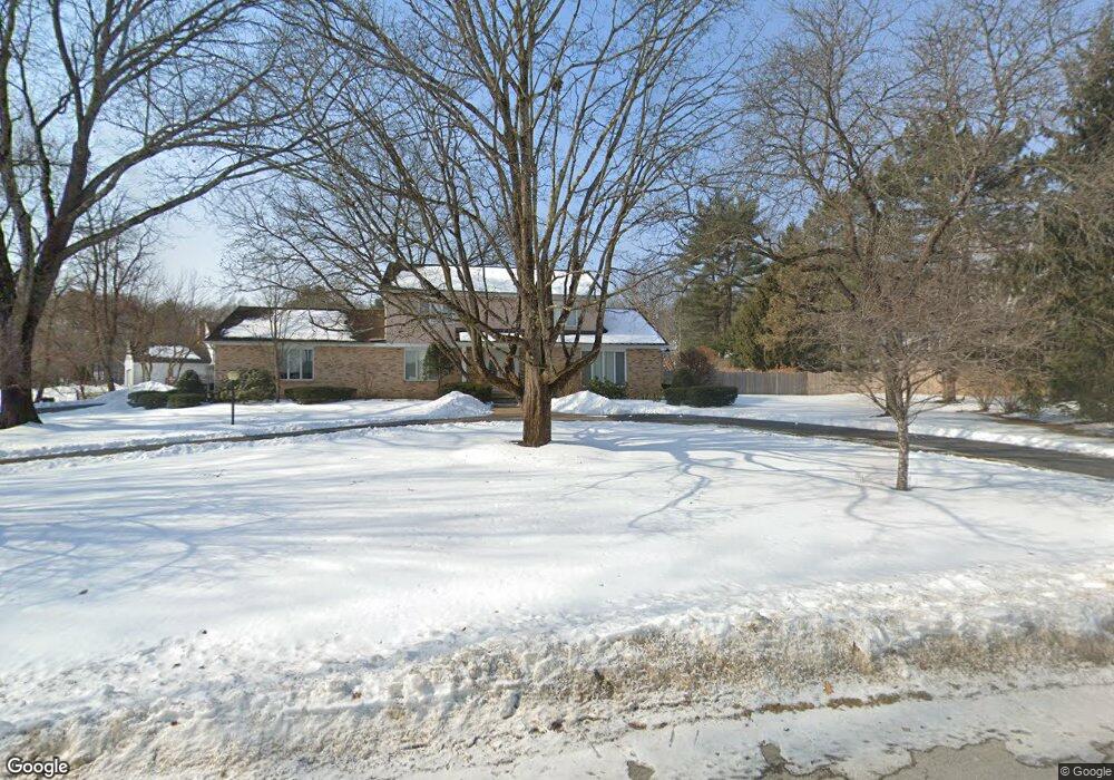
9 St Andrews Dr Queensbury, NY 12804
Glens Falls North NeighborhoodEstimated Value: $538,000 - $597,000
3
Beds
3
Baths
2,664
Sq Ft
$213/Sq Ft
Est. Value
About This Home
This home is located at 9 St Andrews Dr, Queensbury, NY 12804 and is currently estimated at $568,687, approximately $213 per square foot. 9 St Andrews Dr is a home located in Warren County with nearby schools including Queensbury Elementary School, William H. Barton Intermediate School, and Queensbury Middle School.
Ownership History
Date
Name
Owned For
Owner Type
Purchase Details
Closed on
Dec 19, 2023
Sold by
Reisman Richard J
Bought by
Richard J Reisman Ret and Reisman
Current Estimated Value
Create a Home Valuation Report for This Property
The Home Valuation Report is an in-depth analysis detailing your home's value as well as a comparison with similar homes in the area
Home Values in the Area
Average Home Value in this Area
Purchase History
| Date | Buyer | Sale Price | Title Company |
|---|---|---|---|
| Richard J Reisman Ret | -- | None Available |
Source: Public Records
Tax History Compared to Growth
Tax History
| Year | Tax Paid | Tax Assessment Tax Assessment Total Assessment is a certain percentage of the fair market value that is determined by local assessors to be the total taxable value of land and additions on the property. | Land | Improvement |
|---|---|---|---|---|
| 2024 | $8,519 | $446,000 | $72,000 | $374,000 |
| 2023 | $8,310 | $357,000 | $72,000 | $285,000 |
| 2022 | $7,967 | $357,000 | $72,000 | $285,000 |
| 2021 | $7,858 | $357,000 | $72,000 | $285,000 |
| 2020 | $2,203 | $344,400 | $65,000 | $279,400 |
| 2019 | $7,145 | $344,400 | $65,000 | $279,400 |
| 2018 | $7,145 | $344,400 | $65,000 | $279,400 |
| 2017 | $6,946 | $332,600 | $65,000 | $267,600 |
| 2016 | $6,850 | $332,600 | $65,000 | $267,600 |
| 2015 | -- | $332,600 | $65,000 | $267,600 |
| 2014 | -- | $272,400 | $62,800 | $209,600 |
Source: Public Records
Map
Nearby Homes
- L18 Country Club Rd
- 10 Oakwood Dr
- 4 Gentry Ln
- L36 Baywood Dr
- 43 Westwood Dr
- 385 Bay Rd
- L18 Blind Rock Rd
- 28 Treasures Place
- 9 Chelsea Place
- 56 Treasures Place
- 63 Cedar Ct
- 60 Meldon Cir
- 87 Old Mill Ln
- L26.3 Bay Rd
- 41 Old Mill Ln
- 4 Hillcrest Ave
- 24 Old Mill Ln
- 20 Beekman Place
- 1 Zenas Dr
- 91 Surrey Field Dr