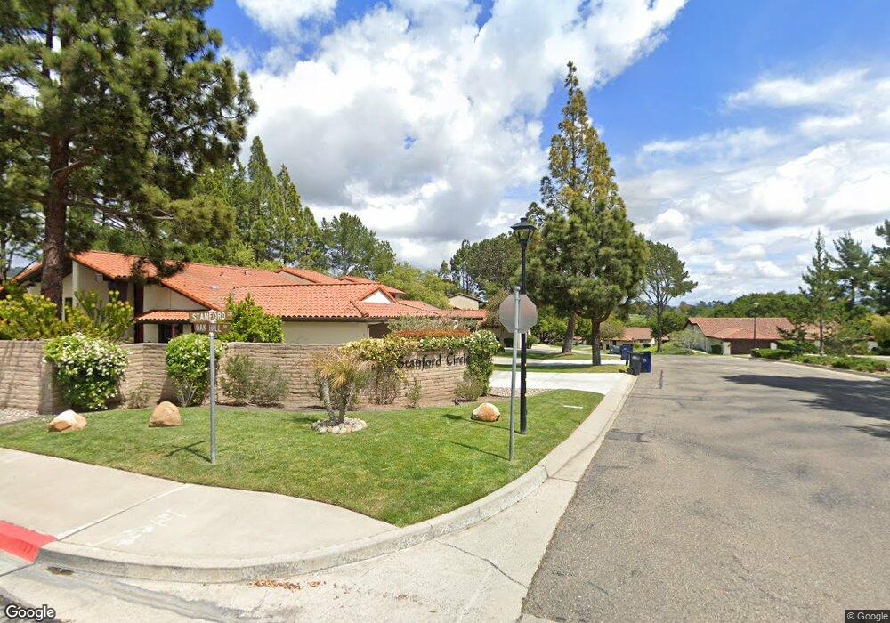
9 Stanford Cir Lompoc, CA 93436
Estimated Value: $571,513 - $712,000
2
Beds
2
Baths
1,778
Sq Ft
$364/Sq Ft
Est. Value
About This Home
This home is located at 9 Stanford Cir, Lompoc, CA 93436 and is currently estimated at $647,128, approximately $363 per square foot. 9 Stanford Cir is a home located in Santa Barbara County with nearby schools including Buena Vista Elementary School and Cabrillo High School.
Ownership History
Date
Name
Owned For
Owner Type
Purchase Details
Closed on
Dec 11, 2015
Sold by
Romain Kirk and Romain Catherine L
Bought by
Romain Kirk Douglas and Lec Catherine
Current Estimated Value
Purchase Details
Closed on
Mar 1, 2012
Sold by
Romain Kirk and Romain Catherine L
Bought by
Romain Kirk Douglas and Lec Catherine
Purchase Details
Closed on
Jan 14, 2009
Sold by
Trubschenck Lorin N and Trubschenck Narlee W
Bought by
Romain Kirk and Romain Catherine L
Purchase Details
Closed on
Jun 11, 2007
Sold by
Janich Elizabeth J
Bought by
Trubschenck Lorin N and Trubschenck Narlee W
Home Financials for this Owner
Home Financials are based on the most recent Mortgage that was taken out on this home.
Original Mortgage
$220,000
Interest Rate
6.21%
Mortgage Type
Purchase Money Mortgage
Purchase Details
Closed on
Oct 23, 2000
Sold by
Janich David J and Janich Elizabeth J
Bought by
Janich David J and Janich Elizabeth J
Create a Home Valuation Report for This Property
The Home Valuation Report is an in-depth analysis detailing your home's value as well as a comparison with similar homes in the area
Home Values in the Area
Average Home Value in this Area
Purchase History
We collect this data history from publicly available records. To have your information removed, we recommend requesting removal directly through your county’s website.
| Date | Buyer | Sale Price | Title Company |
|---|---|---|---|
| Romain Kirk Douglas | -- | None Available | |
| Romain Kirk Douglas | -- | None Available | |
| Romain Kirk | $305,000 | Chicago Title Company | |
| Trubschenck Lorin N | $425,000 | United General Title Ins Co | |
| Janich David J | -- | -- |
Source: Public Records
Mortgage History
We collect this data history from publicly available records. To have your information removed, we recommend requesting removal directly through your county’s website.
| Date | Status | Borrower | Loan Amount |
|---|---|---|---|
| Previous Owner | Trubschenck Lorin N | $220,000 |
Source: Public Records
Tax History
| Year | Tax Paid | Tax Assessment Tax Assessment Total Assessment is a certain percentage of the fair market value that is determined by local assessors to be the total taxable value of land and additions on the property. | Land | Improvement |
|---|---|---|---|---|
| 2025 | $4,602 | $392,749 | $154,522 | $238,227 |
| 2023 | $4,602 | $377,500 | $148,523 | $228,977 |
| 2022 | $4,531 | $370,099 | $145,611 | $224,488 |
| 2021 | $4,580 | $362,843 | $142,756 | $220,087 |
| 2020 | $4,534 | $359,124 | $141,293 | $217,831 |
| 2019 | $4,467 | $352,083 | $138,523 | $213,560 |
| 2018 | $4,405 | $345,180 | $135,807 | $209,373 |
| 2017 | $4,242 | $338,413 | $133,145 | $205,268 |
| 2016 | $3,899 | $331,779 | $130,535 | $201,244 |
| 2015 | $3,871 | $326,797 | $128,575 | $198,222 |
| 2014 | $3,817 | $320,397 | $126,057 | $194,340 |
Source: Public Records
Map
Nearby Homes
- 6 Stanford Cir
- 73 Stanford Cir
- 18 Galaxy Way
- 35 Aldebaran Ave
- 4603 Falcon Dr
- 0 Oak Hill Dr Unit 24-783
- 4486 Titan Ave
- 107 Inverness Ave
- 649 Burning Tree Way
- 4173 Oakwood Ct
- 131 Deneb Place
- 4220 Constellation Rd
- 135 Oakmont Ave
- 4050 Saint Andrews Ct
- 259 Burton Mesa Blvd Unit A
- 245 Burton Mesa Blvd Unit B
- 277 Burton Mesa Blvd Unit B
- 384 Falcon Crest Dr
- 549 Palomar Cir
- 3725 Jupiter Ave
- 102 Oak Hill Dr
- 104 Oak Hill Dr
- 106 Oak Hill Dr
- 106 Oakhill Dr
- 108 Oak Hill Dr
- 128 Oak Hill Dr
- 154 Oak Hill Dr
- 128 Oak Hill
- 156 Oak Hill Dr
- 130 Oak Hill Dr
- 3 Stanford Cir
- 132 Oak Hill Dr
- 7 Stanford Cir
- 105 Oak Hill Dr
- 158 Oak Hill Dr
- 134 Oak Hill Dr
- 103 Oak Hill Dr
- 110 Oak Hill Dr
- 160 Oak Hill Dr
- 136 Oak Hill Dr
Your Personal Tour Guide
Ask me questions while you tour the home.