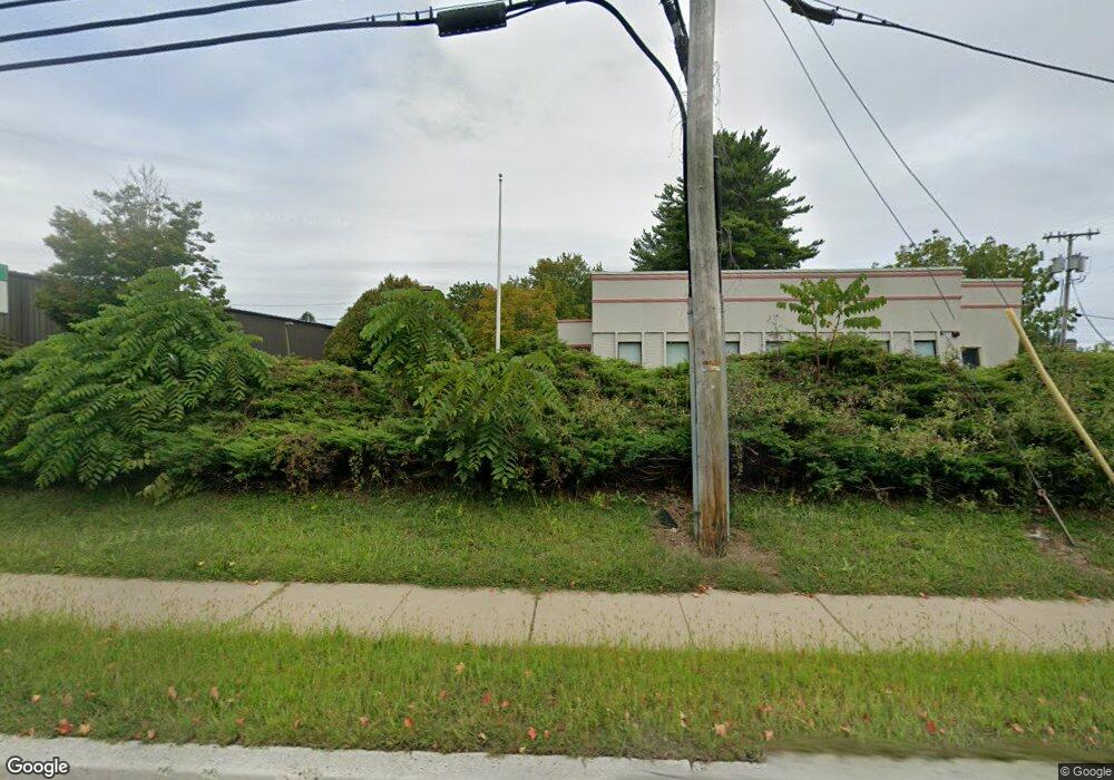
9 State Route 57 Hackettstown, NJ 07840
Estimated Value: $354,598 - $413,000
--
Bed
--
Bath
1,612
Sq Ft
$241/Sq Ft
Est. Value
About This Home
This home is located at 9 State Route 57, Hackettstown, NJ 07840 and is currently estimated at $388,900, approximately $241 per square foot. 9 State Route 57 is a home located in Warren County with nearby schools including Hackettstown Middle School.
Ownership History
Date
Name
Owned For
Owner Type
Purchase Details
Closed on
Oct 15, 2021
Sold by
Gallo Gaetano B and Werner Ashley
Bought by
7 Route 57 Llc
Current Estimated Value
Purchase Details
Closed on
Feb 13, 2012
Sold by
Ball Robert S
Bought by
Gallo Gaetano B
Home Financials for this Owner
Home Financials are based on the most recent Mortgage that was taken out on this home.
Original Mortgage
$110,000
Interest Rate
3.19%
Mortgage Type
Purchase Money Mortgage
Purchase Details
Closed on
Jan 18, 2002
Sold by
Esposito Mickelina V
Bought by
Ball Robert S
Home Financials for this Owner
Home Financials are based on the most recent Mortgage that was taken out on this home.
Original Mortgage
$84,000
Interest Rate
6.6%
Mortgage Type
Balloon
Purchase Details
Closed on
Aug 28, 1997
Sold by
Wydner Dora M and Nunn Gregory
Bought by
Esposito Mickelina
Create a Home Valuation Report for This Property
The Home Valuation Report is an in-depth analysis detailing your home's value as well as a comparison with similar homes in the area
Home Values in the Area
Average Home Value in this Area
Purchase History
| Date | Buyer | Sale Price | Title Company |
|---|---|---|---|
| 7 Route 57 Llc | $265,000 | Simplicity Title Llc | |
| Gallo Gaetano B | $110,000 | Stewart Title & Guaranty Co | |
| Ball Robert S | $130,000 | Old Republic Title | |
| Esposito Mickelina | $97,000 | -- |
Source: Public Records
Mortgage History
| Date | Status | Borrower | Loan Amount |
|---|---|---|---|
| Previous Owner | Gallo Gaetano B | $110,000 | |
| Previous Owner | Ball Robert S | $84,000 |
Source: Public Records
Tax History Compared to Growth
Tax History
| Year | Tax Paid | Tax Assessment Tax Assessment Total Assessment is a certain percentage of the fair market value that is determined by local assessors to be the total taxable value of land and additions on the property. | Land | Improvement |
|---|---|---|---|---|
| 2025 | $7,170 | $209,700 | $92,900 | $116,800 |
| 2024 | $7,075 | $209,700 | $92,900 | $116,800 |
| 2023 | $6,845 | $209,700 | $92,900 | $116,800 |
| 2022 | $6,830 | $209,700 | $92,900 | $116,800 |
| 2021 | $6,702 | $209,700 | $92,900 | $116,800 |
| 2020 | $6,562 | $209,700 | $92,900 | $116,800 |
| 2019 | $6,341 | $209,700 | $92,900 | $116,800 |
| 2018 | $6,218 | $209,700 | $92,900 | $116,800 |
| 2017 | $6,218 | $209,700 | $92,900 | $116,800 |
| 2016 | $6,115 | $209,700 | $92,900 | $116,800 |
| 2015 | $5,859 | $209,700 | $92,900 | $116,800 |
| 2014 | $5,668 | $209,700 | $92,900 | $116,800 |
Source: Public Records
Map
Nearby Homes
- 29 Trafalgar Ct
- 150 College View Dr
- 205 Warren St
- 16 Setting Sun Dr
- 310 Warren St
- 250 Riva Dr
- 102 Sunnyview Ave E
- 225 Riva Dr
- 53 Winchester Ave
- 209 Riva Dr Unit 3A24H
- 11 Shadow Hill Way
- 135 Cynthia Dr
- 403 W Plane St
- 412 W Plane St
- 133 Deerfield Dr
- 201 Willow Grove St
- 108 U S 46
- 313 Grand Ave
- 215 Grand Ave
- 302 Grand Ave
- 3 State Route 57
- 7 State Route 57
- 320 Mountain Ave
- 17 State Route 57
- 70 Lawrence Dr
- 68 Lawrence Dr
- 66 Lawrence Dr
- 74 Lawrence Dr
- 64 Lawrence Dr
- 75 Lawrence Dr
- 62 Lawrence Dr
- 29 Jane Dr Unit 29
- 73 Lawrence Dr
- 76 Lawrence Dr
- 60 Lawrence Dr
- 102 Jane Dr Unit 102
- 71 Lawrence Dr
- 23 Jane Dr Unit 23
- 37 Jane Dr Unit 37
- 16 State Route 57