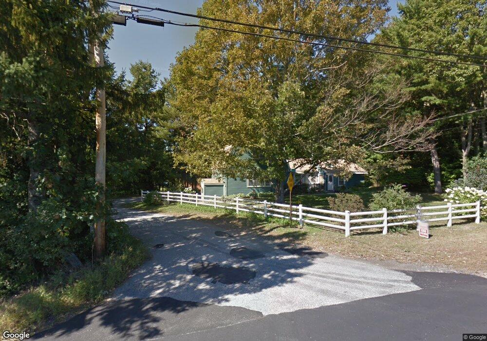
9 Stevenson Rd Kittery, ME 03904
Estimated Value: $436,000 - $568,000
4
Beds
2
Baths
2,315
Sq Ft
$221/Sq Ft
Est. Value
About This Home
This home is located at 9 Stevenson Rd, Kittery, ME 03904 and is currently estimated at $511,039, approximately $220 per square foot. 9 Stevenson Rd is a home located in York County with nearby schools including Shapleigh School, Horace Mitchell Primary School, and Robert W Traip Academy.
Ownership History
Date
Name
Owned For
Owner Type
Purchase Details
Closed on
Jun 20, 2006
Sold by
Dean Debra A and Dean Dennis A
Bought by
Donovan Laura
Current Estimated Value
Home Financials for this Owner
Home Financials are based on the most recent Mortgage that was taken out on this home.
Original Mortgage
$165,000
Outstanding Balance
$97,278
Interest Rate
6.62%
Mortgage Type
Purchase Money Mortgage
Estimated Equity
$413,761
Create a Home Valuation Report for This Property
The Home Valuation Report is an in-depth analysis detailing your home's value as well as a comparison with similar homes in the area
Home Values in the Area
Average Home Value in this Area
Purchase History
| Date | Buyer | Sale Price | Title Company |
|---|---|---|---|
| Donovan Laura | -- | -- |
Source: Public Records
Mortgage History
| Date | Status | Borrower | Loan Amount |
|---|---|---|---|
| Open | Donovan Laura | $165,000 |
Source: Public Records
Tax History
| Year | Tax Paid | Tax Assessment Tax Assessment Total Assessment is a certain percentage of the fair market value that is determined by local assessors to be the total taxable value of land and additions on the property. | Land | Improvement |
|---|---|---|---|---|
| 2024 | $4,097 | $288,500 | $94,700 | $193,800 |
| 2023 | $3,926 | $288,500 | $94,700 | $193,800 |
| 2022 | $3,889 | $288,500 | $94,700 | $193,800 |
| 2021 | $3,548 | $272,900 | $94,700 | $178,200 |
| 2020 | $3,520 | $272,900 | $94,700 | $178,200 |
| 2019 | $3,687 | $211,900 | $59,700 | $152,200 |
| 2018 | $6,118 | $211,900 | $59,700 | $152,200 |
| 2017 | $6,618 | $211,900 | $59,700 | $152,200 |
| 2016 | $3,401 | $211,900 | $59,700 | $152,200 |
| 2015 | $3,320 | $211,900 | $59,700 | $152,200 |
| 2014 | $3,289 | $211,900 | $59,700 | $152,200 |
| 2013 | $3,225 | $211,900 | $59,700 | $152,200 |
Source: Public Records
Map
Nearby Homes
- 19 Aspen Cir
- 22 Summer Ln
- 197 State Rd
- 62 Village Dr Unit 62
- 19 Seward Farm Ln
- 100 Shepard's Cove Rd Unit F204
- 100 Shepard's Cove Rd Unit G107
- 100 Shepards Cove Rd Unit F204
- 8 Caslyn Dr
- 32 Regency Cir Unit 2
- 5 Spinney Way Unit 9
- 8 Spruce Point Rd
- 24 Regency Cir Unit 3
- 36 Cedar Dr
- 27 Oak Terrace
- 10 Lewis Rd
- 25 Oak Terrace
- 29 Main St
- 18 Shipping Ln
- 9 Main St Unit 3
Your Personal Tour Guide
Ask me questions while you tour the home.