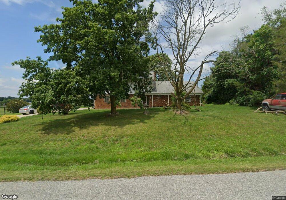
9 Stewart Rd Pilesgrove, NJ 08098
Estimated Value: $434,000 - $725,000
--
Bed
--
Bath
3,228
Sq Ft
$170/Sq Ft
Est. Value
About This Home
This home is located at 9 Stewart Rd, Pilesgrove, NJ 08098 and is currently estimated at $549,238, approximately $170 per square foot. 9 Stewart Rd is a home located in Salem County with nearby schools including Mary S. Shoemaker School and Woodstown High School.
Ownership History
Date
Name
Owned For
Owner Type
Purchase Details
Closed on
Feb 6, 2019
Sold by
Burke Rocky R
Bought by
Burke Kacey
Current Estimated Value
Purchase Details
Closed on
May 29, 1985
Bought by
Burke Rocky R and Burke Joan M
Create a Home Valuation Report for This Property
The Home Valuation Report is an in-depth analysis detailing your home's value as well as a comparison with similar homes in the area
Home Values in the Area
Average Home Value in this Area
Purchase History
| Date | Buyer | Sale Price | Title Company |
|---|---|---|---|
| Burke Kacey | -- | -- | |
| Burke Rocky R | -- | -- |
Source: Public Records
Tax History Compared to Growth
Tax History
| Year | Tax Paid | Tax Assessment Tax Assessment Total Assessment is a certain percentage of the fair market value that is determined by local assessors to be the total taxable value of land and additions on the property. | Land | Improvement |
|---|---|---|---|---|
| 2025 | $10,306 | $281,900 | $74,700 | $207,200 |
| 2024 | $10,456 | $281,900 | $74,700 | $207,200 |
| 2023 | $10,456 | $281,900 | $74,700 | $207,200 |
| 2022 | $9,850 | $281,900 | $74,700 | $207,200 |
| 2021 | $9,486 | $281,900 | $74,700 | $207,200 |
| 2020 | $9,159 | $281,900 | $74,700 | $207,200 |
| 2019 | $8,891 | $281,900 | $74,700 | $207,200 |
| 2018 | $8,536 | $281,900 | $74,700 | $207,200 |
| 2017 | $8,257 | $281,900 | $74,700 | $207,200 |
| 2016 | $7,921 | $281,900 | $74,700 | $207,200 |
| 2015 | $7,329 | $281,900 | $74,700 | $207,200 |
| 2014 | $7,059 | $281,900 | $74,700 | $207,200 |
Source: Public Records
Map
Nearby Homes
- 236 E Lake Rd
- 340 Woodstown Daretown Rd
- 29 Kingsberry Ln
- 73 Kingsberry Ln
- 328 Avis Mill Rd
- 178 E Millbrooke Ave
- 8 Eichmann Way
- 96 Kingsberry Ln
- 230 Point Airy Rd
- 276 Woodstown Daretown Rd
- 440 Bailey St
- 438 Bailey St
- 444 S Main St
- 47 Dickinson St
- 36 Bowen Ave
- 50 Colson Ct
- 15 E Grant St
- L13 Highway 40 W
- 133 Spring Garden St
- 35 Green St
- 15 Stewart Rd
- 10 Stewart Rd
- 16 Stewart Rd
- 17 Stewart Rd
- 23 Stewart Rd
- 0 Fox Rd Unit 1006833104
- 0 Fox Rd Unit 1006833000
- 0 Fox Rd Unit 1006466174
- 0 Fox Rd Unit 1006465974
- 0 Fox Rd Unit 1006321430
- 0 Fox Rd Unit 1006321362
- 0 Fox Rd Unit 5321161
- 0 Fox Rd Unit 5321134
- 0 Fox Rd Unit 5445955
- 0 Fox Rd Unit 5445952
- 0 Fox Rd Unit 5731491
- 0 Fox Rd Unit 5731507
- 0 Fox Rd Unit 1004323554
- 0 Fox Rd Unit 1004323488
- 90 Fox Rd