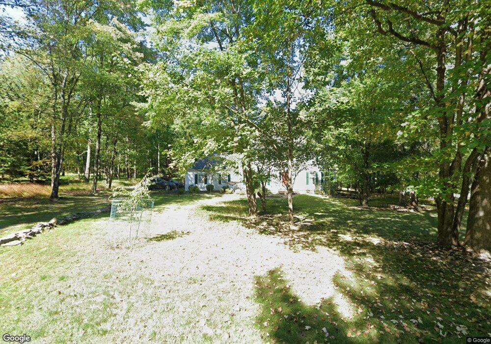
9 Stockade Rd Warren, NJ 07059
Estimated Value: $1,033,247 - $1,200,000
Studio
--
Bath
2,336
Sq Ft
$484/Sq Ft
Est. Value
About This Home
This home is located at 9 Stockade Rd, Warren, NJ 07059 and is currently estimated at $1,130,562, approximately $483 per square foot. 9 Stockade Rd is a home located in Somerset County with nearby schools including Central School, Warren Middle School, and Watchung Hills Regional High School.
Ownership History
Date
Name
Owned For
Owner Type
Purchase Details
Closed on
Jan 15, 2016
Sold by
Hughes Joanna
Bought by
Martin Stephen and Ho Mary
Current Estimated Value
Home Financials for this Owner
Home Financials are based on the most recent Mortgage that was taken out on this home.
Original Mortgage
$300,000
Outstanding Balance
$238,674
Interest Rate
3.97%
Mortgage Type
New Conventional
Estimated Equity
$891,888
Purchase Details
Closed on
Oct 29, 2014
Sold by
Hughes Joanna
Bought by
Hughes Joanna
Purchase Details
Closed on
Oct 28, 2014
Sold by
Hughes David E and Hughes Joanna
Bought by
Hughes Joanna
Purchase Details
Closed on
Mar 25, 1992
Sold by
Procter & Gamble Distributing Co
Bought by
Hughes David E and Hughes Joanna
Purchase Details
Closed on
Feb 26, 1992
Sold by
Stuke Bryan K and Stuke Barbara G
Bought by
Procter & Gamble Distributing Co
Create a Home Valuation Report for This Property
The Home Valuation Report is an in-depth analysis detailing your home's value as well as a comparison with similar homes in the area
Home Values in the Area
Average Home Value in this Area
Purchase History
| Date | Buyer | Sale Price | Title Company |
|---|---|---|---|
| Martin Stephen | $675,000 | None Available | |
| Hughes Joanna | -- | None Available | |
| Hughes Joanna | -- | None Available | |
| Hughes David E | $386,700 | -- | |
| Procter & Gamble Distributing Co | $382,500 | -- |
Source: Public Records
Mortgage History
| Date | Status | Borrower | Loan Amount |
|---|---|---|---|
| Open | Martin Stephen | $300,000 |
Source: Public Records
Tax History
| Year | Tax Paid | Tax Assessment Tax Assessment Total Assessment is a certain percentage of the fair market value that is determined by local assessors to be the total taxable value of land and additions on the property. | Land | Improvement |
|---|---|---|---|---|
| 2025 | $14,083 | $838,600 | $480,100 | $358,500 |
| 2024 | $14,083 | $766,200 | $431,500 | $334,700 |
Source: Public Records
Map
Nearby Homes
Your Personal Tour Guide
Ask me questions while you tour the home.