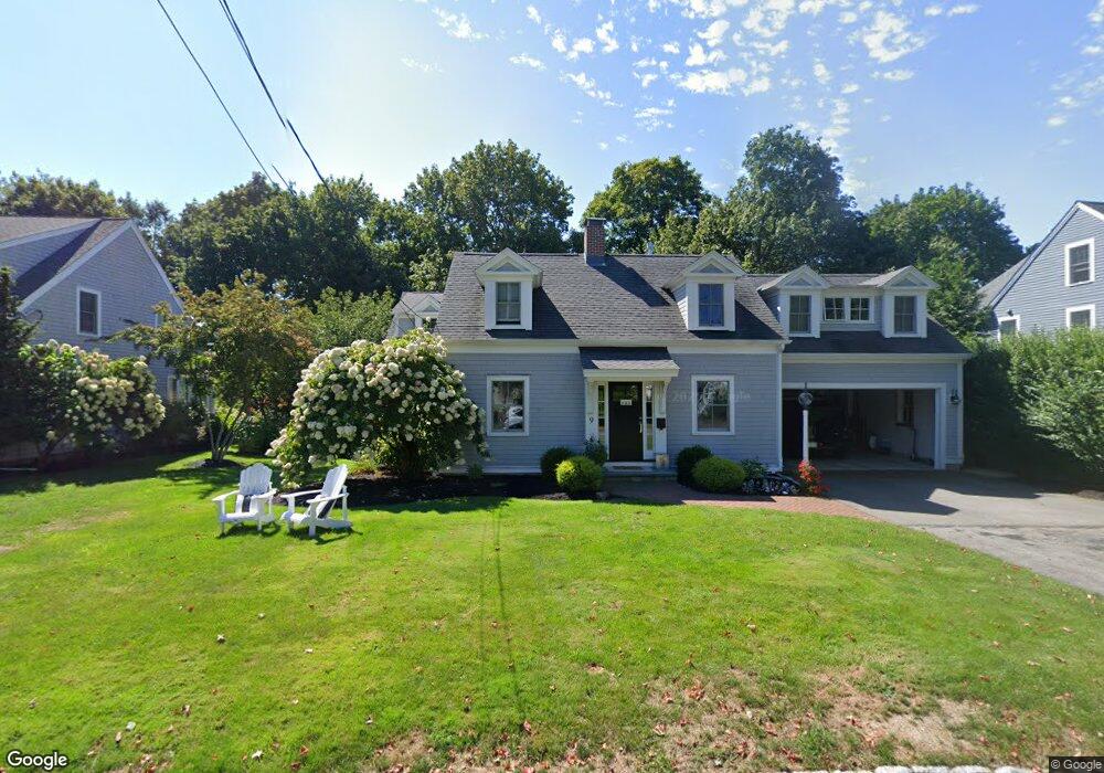
9 Stoddard Rd Hingham, MA 02043
Estimated Value: $1,880,743 - $2,024,000
4
Beds
4
Baths
3,164
Sq Ft
$620/Sq Ft
Est. Value
About This Home
This home is located at 9 Stoddard Rd, Hingham, MA 02043 and is currently estimated at $1,961,686, approximately $620 per square foot. 9 Stoddard Rd is a home located in Plymouth County with nearby schools including East Elementary School, Hingham Middle School, and Hingham High School.
Ownership History
Date
Name
Owned For
Owner Type
Purchase Details
Closed on
Apr 17, 2012
Sold by
Hurley Robert E and Hurley Cynthia B
Bought by
Howard Michael S and Howard Teri L
Current Estimated Value
Home Financials for this Owner
Home Financials are based on the most recent Mortgage that was taken out on this home.
Original Mortgage
$588,800
Outstanding Balance
$403,775
Interest Rate
3.91%
Mortgage Type
Purchase Money Mortgage
Estimated Equity
$1,557,911
Purchase Details
Closed on
Feb 17, 1987
Sold by
Comstock Douglas R
Bought by
Hurley Robert E
Purchase Details
Closed on
Jan 8, 1987
Sold by
Eleanor E Hunt
Bought by
Hall Frank E
Create a Home Valuation Report for This Property
The Home Valuation Report is an in-depth analysis detailing your home's value as well as a comparison with similar homes in the area
Purchase History
| Date | Buyer | Sale Price | Title Company |
|---|---|---|---|
| Howard Michael S | $736,000 | -- | |
| Hurley Robert E | $211,000 | -- | |
| Hall Frank E | $79,000 | -- |
Source: Public Records
Mortgage History
| Date | Status | Borrower | Loan Amount |
|---|---|---|---|
| Open | Howard Michael S | $588,800 | |
| Closed | Hall Frank E | $588,800 | |
| Previous Owner | Hall Frank E | $178,000 | |
| Previous Owner | Hall Frank E | $100,000 |
Source: Public Records
Tax History
| Year | Tax Paid | Tax Assessment Tax Assessment Total Assessment is a certain percentage of the fair market value that is determined by local assessors to be the total taxable value of land and additions on the property. | Land | Improvement |
|---|---|---|---|---|
| 2025 | $15,048 | $1,407,700 | $538,400 | $869,300 |
| 2024 | $12,862 | $1,185,400 | $538,400 | $647,000 |
| 2023 | $11,012 | $1,101,200 | $538,400 | $562,800 |
| 2022 | $10,521 | $910,100 | $448,700 | $461,400 |
| 2021 | $10,252 | $868,800 | $467,400 | $401,400 |
| 2020 | $10,017 | $868,800 | $467,400 | $401,400 |
| 2019 | $9,867 | $835,500 | $467,400 | $368,100 |
| 2018 | $4,488 | $828,800 | $467,400 | $361,400 |
| 2017 | $8,230 | $671,800 | $445,500 | $226,300 |
| 2016 | $8,126 | $650,600 | $424,300 | $226,300 |
| 2015 | $8,770 | $699,900 | $404,100 | $295,800 |
Source: Public Records
Map
Nearby Homes
Your Personal Tour Guide
Ask me questions while you tour the home.