9 Stonypoint Rd Andover, NJ 07821
Estimated Value: $835,000 - $1,162,316
Studio
--
Bath
2,429
Sq Ft
$414/Sq Ft
Est. Value
About This Home
This home is located at 9 Stonypoint Rd, Andover, NJ 07821 and is currently estimated at $1,005,579, approximately $413 per square foot. 9 Stonypoint Rd is a home located in Sussex County with nearby schools including Hudson Maxim Elementary School, Durban Avenue Elementary School, and Tulsa Trail Elementary School.
Ownership History
Date
Name
Owned For
Owner Type
Purchase Details
Closed on
Jan 30, 2024
Sold by
Gruber Michael
Bought by
Michael Gruber 2024 Residence Trust and Gruber
Current Estimated Value
Purchase Details
Closed on
May 24, 2023
Sold by
Gruber Peter G
Bought by
Gruber Michael
Purchase Details
Closed on
Mar 6, 1986
Bought by
Gruber Alice
Create a Home Valuation Report for This Property
The Home Valuation Report is an in-depth analysis detailing your home's value as well as a comparison with similar homes in the area
Home Values in the Area
Average Home Value in this Area
Purchase History
| Date | Buyer | Sale Price | Title Company |
|---|---|---|---|
| Michael Gruber 2024 Residence Trust | -- | None Listed On Document | |
| Michael Gruber 2024 Residence Trust | -- | None Listed On Document | |
| Gruber Michael | $657,910 | Old Republic Title | |
| Gruber Michael | $657,910 | Old Republic Title | |
| Gruber Peter G | -- | Old Republic Title | |
| Gruber Peter G | -- | Old Republic Title | |
| Gruber Alice | -- | -- |
Source: Public Records
Tax History
| Year | Tax Paid | Tax Assessment Tax Assessment Total Assessment is a certain percentage of the fair market value that is determined by local assessors to be the total taxable value of land and additions on the property. | Land | Improvement |
|---|---|---|---|---|
| 2025 | $23,131 | $1,109,400 | $556,300 | $553,100 |
| 2024 | $22,960 | $1,109,400 | $556,300 | $553,100 |
Source: Public Records
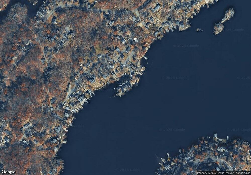
Map
Nearby Homes
- 4 Bear Pond Trail
- 3 Bear Pond Trail
- 14 Marshall Trail
- 213 Squaw Trail
- 208 Maxim Dr
- 12 Hobart Trail
- 543 Lakeside Ave
- 342 Dupont Ave
- 11 Adelphi Trail
- 19 Sutton Rd
- 11 Hillside Ave
- 34 Bayview Ave
- 35 Mountain Trail
- 15 Pebble Beach Rd
- 00 Forest Rd
- 8 Oneida Ave
- 4 Toledo Ct
- 2 Oneida Ave
- 7 Raccoon Island Rd
- 11B Wildwood Shores Dr
- 7 Stonypoint Rd
- 329 Squaw Trail
- 4 Stonypoint Rd
- 325 Squaw Trail
- 325 Squaw Trail
- 327 Squaw Trail
- 5 Stonypoint Rd
- 323 Squaw Trail
- 331 Squaw Trail
- 317 Squaw Trail
- 3 Seton Trail
- 3A Stonypoint Rd
- 333 Squaw Trail
- 315 Squaw Trail
- 314 Squaw Trail
- 313 Squaw Trail
- 316 Squaw Trail
- 309 Squaw Trail
- 311 Squaw Trail
- 306 Squaw Trail
Your Personal Tour Guide
Ask me questions while you tour the home.