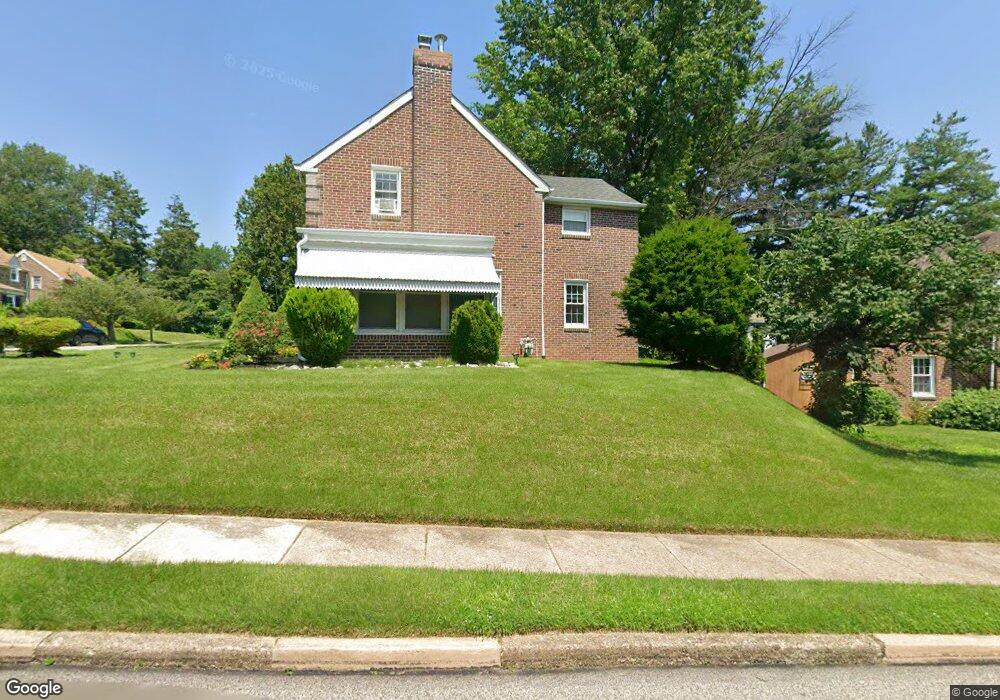
9 Summit Rd Wyncote, PA 19095
Estimated Value: $323,880 - $357,000
3
Beds
2
Baths
1,533
Sq Ft
$221/Sq Ft
Est. Value
About This Home
This home is located at 9 Summit Rd, Wyncote, PA 19095 and is currently estimated at $339,470, approximately $221 per square foot. 9 Summit Rd is a home located in Montgomery County with nearby schools including Wyncote Elementary School, Elkins Park School, and Cedarbrook Middle School.
Ownership History
Date
Name
Owned For
Owner Type
Purchase Details
Closed on
Feb 1, 2021
Sold by
Duckson Latifa D
Bought by
Duckson Maurice and Duckson Latifa D
Current Estimated Value
Purchase Details
Closed on
Dec 15, 2011
Sold by
Serio Joseph L
Bought by
Bradley Latifa D
Home Financials for this Owner
Home Financials are based on the most recent Mortgage that was taken out on this home.
Original Mortgage
$175,437
Outstanding Balance
$122,234
Interest Rate
4.4%
Mortgage Type
FHA
Estimated Equity
$217,236
Purchase Details
Closed on
Apr 17, 2000
Sold by
Holden Dorothy E
Bought by
Serio Joseph L
Create a Home Valuation Report for This Property
The Home Valuation Report is an in-depth analysis detailing your home's value as well as a comparison with similar homes in the area
Home Values in the Area
Average Home Value in this Area
Purchase History
| Date | Buyer | Sale Price | Title Company |
|---|---|---|---|
| Duckson Maurice | -- | None Available | |
| Bradley Latifa D | $180,000 | None Available | |
| Serio Joseph L | $120,000 | -- |
Source: Public Records
Mortgage History
| Date | Status | Borrower | Loan Amount |
|---|---|---|---|
| Open | Bradley Latifa D | $175,437 |
Source: Public Records
Tax History
| Year | Tax Paid | Tax Assessment Tax Assessment Total Assessment is a certain percentage of the fair market value that is determined by local assessors to be the total taxable value of land and additions on the property. | Land | Improvement |
|---|---|---|---|---|
| 2025 | $6,910 | $103,480 | $34,440 | $69,040 |
| 2024 | $6,910 | $103,480 | $34,440 | $69,040 |
| 2023 | $6,832 | $103,480 | $34,440 | $69,040 |
| 2022 | $6,716 | $103,480 | $34,440 | $69,040 |
| 2021 | $6,532 | $103,480 | $34,440 | $69,040 |
| 2020 | $6,344 | $103,480 | $34,440 | $69,040 |
| 2019 | $6,217 | $103,480 | $34,440 | $69,040 |
Source: Public Records
Map
Nearby Homes
- 8363 Limekiln Pike
- 8415 Limekiln Pike
- 8427 Limekiln Pike
- 1039 Greenwood Ave
- 115 Old Cedarbrook Rd Unit 23
- 7901 Cedarbrook Ave
- 1030 Rock Creek Dr
- 416 Rices Mill Rd
- 412 Rices Mill Rd
- 7975 Provident St
- 7705 Pickering Ave
- 7920 Provident St
- 2409 Ashbourne Rd
- 7828 Michener Ave
- 1600 Church Rd Unit D205
- 1600 Church Rd Unit A-306
- 1600 Church Rd Unit B-216
- 7735 Temple Rd
- 7723 Temple Rd
- 7732 Temple Rd
- 6 Underwood Rd
- 21 Evergreen Ave
- 10 Underwood Rd
- 15 Evergreen Ave
- 25 Evergreen Ave
- 3 Underwood Rd
- 10 Summit Rd
- 7 Underwood Rd
- 14 Underwood Rd
- 11 Evergreen Ave
- 11 Underwood Rd
- 14 Poe Ave
- 16 Underwood Rd
- 7 Evergreen Ave
- 15 Underwood Rd
- 16 Evergreen Ave Unit 53
- 10 Poe Ave
- 18 Poe Ave
- 6 Poe Ave
- 22 Poe Ave
Your Personal Tour Guide
Ask me questions while you tour the home.