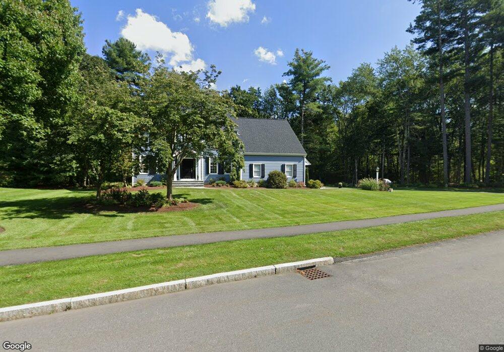
9 Sundance Way Natick, MA 01760
Estimated Value: $1,254,000 - $1,740,000
4
Beds
3
Baths
2,984
Sq Ft
$519/Sq Ft
Est. Value
About This Home
This home is located at 9 Sundance Way, Natick, MA 01760 and is currently estimated at $1,549,771, approximately $519 per square foot. 9 Sundance Way is a home located in Middlesex County with nearby schools including Natick High School, Memorial Elementary School, and J F Kennedy Middle School.
Ownership History
Date
Name
Owned For
Owner Type
Purchase Details
Closed on
Sep 15, 1993
Sold by
B&B Rt and Burke Peter
Bought by
Kelleher Kevin M and Kelleher Donna M
Current Estimated Value
Home Financials for this Owner
Home Financials are based on the most recent Mortgage that was taken out on this home.
Original Mortgage
$265,000
Interest Rate
7.16%
Mortgage Type
Purchase Money Mortgage
Create a Home Valuation Report for This Property
The Home Valuation Report is an in-depth analysis detailing your home's value as well as a comparison with similar homes in the area
Home Values in the Area
Average Home Value in this Area
Purchase History
| Date | Buyer | Sale Price | Title Company |
|---|---|---|---|
| Kelleher Kevin M | $360,000 | -- |
Source: Public Records
Mortgage History
| Date | Status | Borrower | Loan Amount |
|---|---|---|---|
| Closed | Kelleher Kevin M | $265,000 |
Source: Public Records
Tax History Compared to Growth
Tax History
| Year | Tax Paid | Tax Assessment Tax Assessment Total Assessment is a certain percentage of the fair market value that is determined by local assessors to be the total taxable value of land and additions on the property. | Land | Improvement |
|---|---|---|---|---|
| 2025 | $15,873 | $1,327,200 | $596,000 | $731,200 |
| 2024 | $15,353 | $1,252,300 | $562,900 | $689,400 |
| 2023 | $14,761 | $1,167,800 | $563,200 | $604,600 |
| 2022 | $13,779 | $1,032,900 | $459,600 | $573,300 |
| 2021 | $13,111 | $963,300 | $434,400 | $528,900 |
| 2020 | $12,853 | $944,400 | $415,500 | $528,900 |
| 2019 | $12,003 | $944,400 | $415,500 | $528,900 |
| 2018 | $10,713 | $820,900 | $397,400 | $423,500 |
| 2017 | $10,796 | $800,300 | $384,500 | $415,800 |
| 2016 | $10,811 | $796,700 | $384,500 | $412,200 |
| 2015 | $10,478 | $758,200 | $384,500 | $373,700 |
Source: Public Records
Map
Nearby Homes
- 10 Sundance Way
- 94 Woodland St
- 39 Davis Brook Dr
- 11 Avon St
- 15 Penobscot Rd
- 5 Deer Path
- 67 E Central St & 5 Union St
- 5 Wilson St Unit 5A
- 6B Lincoln St Unit 6B
- 15 Church St Unit 3
- 4B Lincoln St Unit 4B
- 3 Wilson St Unit 3B
- 62 E Central St Unit 305
- 48 S Main St Unit 7
- 8 Floral Ave Unit 8
- 20 Marion St
- 21 Harvest Moon Dr
- 6 Ambler Ct
- 8 Floral Avenue Extension
- 3 Vale St Unit B
- 11 Sundance Way
- 7 Sundance Way
- 5 Moccasin Path
- 5 Moccasin Path
- 5 Moccasin Path Unit 5
- 8 Sundance Way
- 7 Moccasin Path
- 12 Sundance Way
- 14 Sundance Way
- 6 Sundance Way
- 9 Moccasin Path
- 3 Moccasin Path
- 4 Sundance Way
- 4 Moccasin Path
- 14 Clearview Dr
- 1 Moccasin Path
- 12 Clearview Dr
- 11 Moccasin Path
- 16 Clearview Dr
- 2 Sundance Way