9 Swallow Way Neshanic Station, NJ 08853
Readington NeighborhoodEstimated Value: $641,197 - $836,000
--
Bed
--
Bath
2,312
Sq Ft
$323/Sq Ft
Est. Value
About This Home
This home is located at 9 Swallow Way, Neshanic Station, NJ 08853 and is currently estimated at $745,799, approximately $322 per square foot. 9 Swallow Way is a home located in Hunterdon County with nearby schools including Hunterdon Central Regional High School District.
Ownership History
Date
Name
Owned For
Owner Type
Purchase Details
Closed on
Sep 24, 1997
Sold by
Landsman Randy Y
Bought by
Barrett Glenn and Barrett Joan
Current Estimated Value
Home Financials for this Owner
Home Financials are based on the most recent Mortgage that was taken out on this home.
Original Mortgage
$200,000
Outstanding Balance
$31,131
Interest Rate
7.52%
Estimated Equity
$714,668
Purchase Details
Closed on
Dec 21, 1992
Sold by
Rattigan James P and Rattigan Beth E
Bought by
Landsman Randy Y and Landsman Shari A
Create a Home Valuation Report for This Property
The Home Valuation Report is an in-depth analysis detailing your home's value as well as a comparison with similar homes in the area
Home Values in the Area
Average Home Value in this Area
Purchase History
| Date | Buyer | Sale Price | Title Company |
|---|---|---|---|
| Barrett Glenn | $263,970 | -- | |
| Landsman Randy Y | $265,000 | -- |
Source: Public Records
Mortgage History
| Date | Status | Borrower | Loan Amount |
|---|---|---|---|
| Open | Barrett Glenn | $200,000 |
Source: Public Records
Tax History Compared to Growth
Tax History
| Year | Tax Paid | Tax Assessment Tax Assessment Total Assessment is a certain percentage of the fair market value that is determined by local assessors to be the total taxable value of land and additions on the property. | Land | Improvement |
|---|---|---|---|---|
| 2025 | $11,965 | $456,500 | $162,100 | $294,400 |
| 2024 | $11,864 | $456,500 | $162,100 | $294,400 |
| 2023 | $11,864 | $456,500 | $162,100 | $294,400 |
| 2022 | $11,559 | $456,500 | $162,100 | $294,400 |
| 2021 | $11,070 | $456,500 | $162,100 | $294,400 |
| 2020 | $11,285 | $371,100 | $166,600 | $204,500 |
| 2019 | $11,070 | $371,100 | $166,600 | $204,500 |
| 2018 | $10,896 | $371,100 | $166,600 | $204,500 |
| 2017 | $10,643 | $371,100 | $166,600 | $204,500 |
| 2016 | $10,391 | $371,100 | $166,600 | $204,500 |
| 2015 | $10,224 | $371,100 | $166,600 | $204,500 |
| 2014 | $10,098 | $371,100 | $166,600 | $204,500 |
Source: Public Records
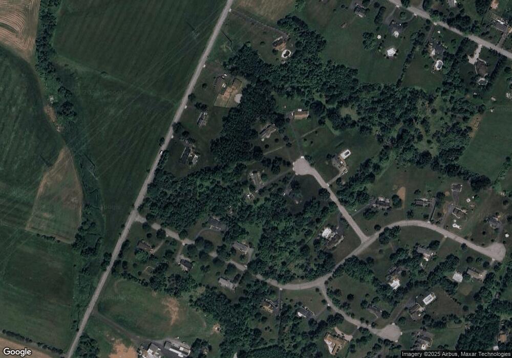
Map
Nearby Homes
- 247 Summer Rd
- 200 Milkweed Ct Unit 200
- 816 Rt 202
- 9 Higginsville Rd
- 35 Lehigh Rd
- 34 Lehigh Rd
- 499 Barton Ln
- 103 Oak Crest Dr
- 205 Hockenbury Rd
- 6 Van Fleet Rd
- 17 Apple Tree Rd
- 407 Olive St
- 30 Plennert Rd
- 1 Meadow Run Way
- 872 Amwell Rd
- 889 Amwell Rd
- 5 Rea Ct
- 1053 Hillcrest Dr
- 29 Bressler Rd
- 18 Flintlock Rd
- 7 Swallow Way
- 11 Swallow Way
- 1 Bobwhite Rd
- 50 Higginsville Rd
- 54 Higginsville Rd
- 3 Bobwhite Rd
- 15 Swallow Way
- 17 Swallow Way
- 5 Swallow Way
- 58 Higginsville Rd
- 6 Bobwhite Rd
- 19 Swallow Way
- 4 Bobwhite Rd
- 62 Higginsville Rd
- 8 Bobwhite Rd
- 2 Bobwhite Rd
- 10 Quail Ln
- 21 Bobwhite Rd
- 24 Bobwhite Rd
- 22 Quail Ln