9 Thunder Rd Freeport, ME 04032
Estimated Value: $403,000 - $514,000
3
Beds
2
Baths
1,566
Sq Ft
$302/Sq Ft
Est. Value
About This Home
This home is located at 9 Thunder Rd, Freeport, ME 04032 and is currently estimated at $472,531, approximately $301 per square foot. 9 Thunder Rd is a home with nearby schools including Morse Street School, Mast Landing School, and Freeport Middle School.
Create a Home Valuation Report for This Property
The Home Valuation Report is an in-depth analysis detailing your home's value as well as a comparison with similar homes in the area
Home Values in the Area
Average Home Value in this Area
Tax History
| Year | Tax Paid | Tax Assessment Tax Assessment Total Assessment is a certain percentage of the fair market value that is determined by local assessors to be the total taxable value of land and additions on the property. | Land | Improvement |
|---|---|---|---|---|
| 2025 | $5,385 | $388,800 | $138,100 | $250,700 |
| 2024 | $5,102 | $382,200 | $131,500 | $250,700 |
| 2023 | $4,635 | $337,100 | $119,600 | $217,500 |
| 2022 | $2,636 | $193,100 | $107,100 | $86,000 |
| 2021 | $2,582 | $193,400 | $107,100 | $86,300 |
| 2020 | $2,519 | $179,900 | $99,200 | $80,700 |
| 2019 | $2,441 | $170,700 | $93,500 | $77,200 |
| 2018 | $2,417 | $160,600 | $87,400 | $73,200 |
| 2017 | $2,323 | $155,400 | $85,400 | $70,000 |
| 2016 | $2,274 | $143,900 | $79,100 | $64,800 |
Source: Public Records
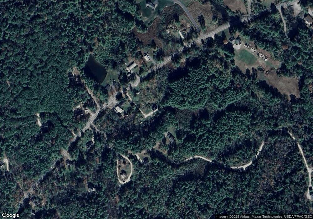
Map
Nearby Homes
- 118 Baker Rd
- 108 Baker Rd
- 16 Piper Farm Rd
- 0 Prout Rd
- 64 Wardtown Rd
- 42A Wardtown Rd
- 10 Prout Rd
- 2 Renee Rd
- 1260 Us Route 1
- 1 Wardtown Rd
- 60 Pleasant Hill Rd
- 82 Tree Farm Rd
- 115 Bragdon Rd
- Lot 13B Pleasant Hill Rd
- 64 Moody Rd
- Lot 8 Crossman Dr
- 42 Hillside Rd
- 162 Durham Rd
- 56 Durham Rd
- lot 4 Crossman Dr
- 1612 Us Route 1
- Lot 1 Map 18 Lot 16a Route 1 N
- 21 Spencers Ridge Rd
- 1613 U S 1
- 1615 Us Route 1
- 1576 Old Portland Rd
- 1105 Old Portland Rd
- 20 Spencers Ridge Rd
- 15 Spencers Ridge Rd
- 0 Spencers Ridge Rd
- Lot 3 Sunrise Place
- Lot A Map 18 Lot 15 Route 1 N
- 0 Spencer's Ridge Unit 925373
- 0 Spencer's Ridge Way Unit 1074479
- 2 Spencers Ridge Rd
- 0 Lot 2 Spencer Ridge
- 3 Taylor Hill Rd
- 18 Spencers Ridge Rd
- 720 Old Portland Rd
- 720 Old Portland Rd
Your Personal Tour Guide
Ask me questions while you tour the home.