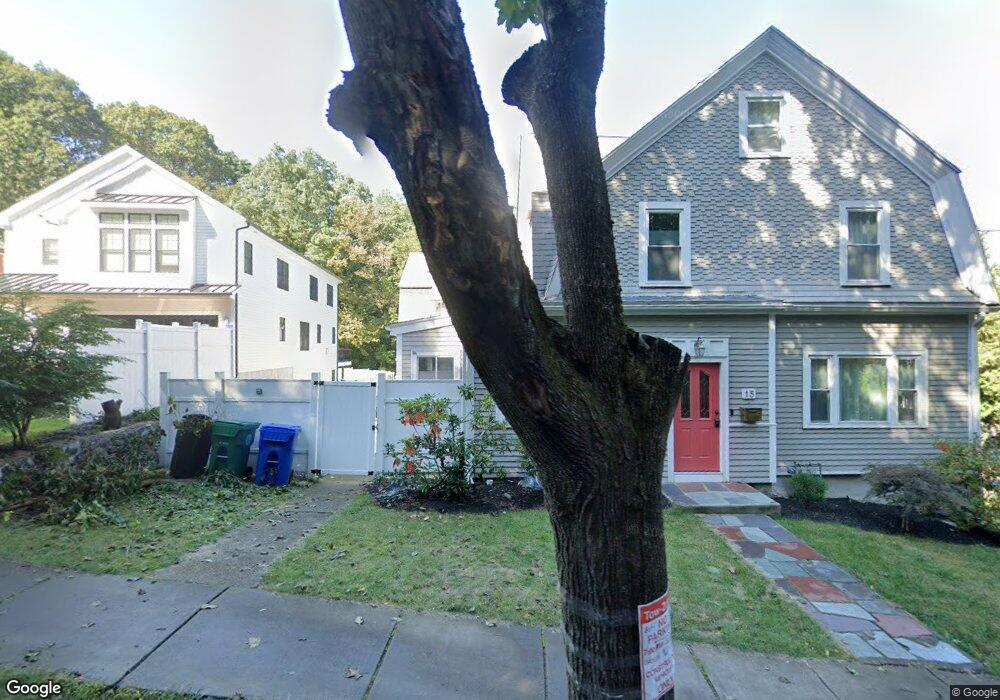
9 Thurston Rd Unit 1 Newton Upper Falls, MA 02464
Newton Upper Falls NeighborhoodEstimated Value: $1,290,000 - $1,787,000
5
Beds
5
Baths
3,825
Sq Ft
$411/Sq Ft
Est. Value
About This Home
This home is located at 9 Thurston Rd Unit 1, Newton Upper Falls, MA 02464 and is currently estimated at $1,573,457, approximately $411 per square foot. 9 Thurston Rd Unit 1 is a home located in Middlesex County with nearby schools including Zervas Elementary School, Angier Elementary School, and Charles E Brown Middle School.
Ownership History
Date
Name
Owned For
Owner Type
Purchase Details
Closed on
Jun 29, 2016
Sold by
Trainin Ft
Bought by
Cheng Jailei and Zhu Xiaoyu
Current Estimated Value
Purchase Details
Closed on
Aug 31, 2009
Sold by
Trainin Vladimir and Trainin Anastasia L
Bought by
Trainin Ft
Create a Home Valuation Report for This Property
The Home Valuation Report is an in-depth analysis detailing your home's value as well as a comparison with similar homes in the area
Home Values in the Area
Average Home Value in this Area
Purchase History
| Date | Buyer | Sale Price | Title Company |
|---|---|---|---|
| Cheng Jailei | $790,000 | -- | |
| Trainin Ft | -- | -- |
Source: Public Records
Tax History Compared to Growth
Tax History
| Year | Tax Paid | Tax Assessment Tax Assessment Total Assessment is a certain percentage of the fair market value that is determined by local assessors to be the total taxable value of land and additions on the property. | Land | Improvement |
|---|---|---|---|---|
| 2025 | $14,894 | $1,519,800 | $0 | $1,519,800 |
| 2024 | $14,401 | $1,475,500 | $0 | $1,475,500 |
| 2023 | $14,026 | $1,377,800 | $0 | $1,377,800 |
| 2022 | $13,804 | $1,312,200 | $0 | $1,312,200 |
| 2021 | $13,320 | $1,237,900 | $0 | $1,237,900 |
| 2020 | $12,924 | $1,237,900 | $0 | $1,237,900 |
| 2019 | $12,559 | $1,201,800 | $0 | $1,201,800 |
| 2018 | $10,610 | $980,600 | $0 | $980,600 |
| 2017 | $14,748 | $1,326,300 | $458,200 | $868,100 |
| 2016 | $13,847 | $1,216,800 | $420,400 | $796,400 |
| 2015 | $13,203 | $1,137,200 | $392,900 | $744,300 |
Source: Public Records
Map
Nearby Homes
- 1077 Boylston St
- 102 Thurston Rd Unit 100
- 103 Thurston Rd
- 51 Pettee St Unit 11
- 3 Glenmore Terrace Unit 2
- 66 Linden St
- 120 Stanley Rd
- 992 Chestnut St
- 20 Pennsylvania Ave
- 20 Pennsylvania Ave Unit 20
- 18-20 Pennsylvania Ave Unit 18
- 1003 Chestnut St
- 27 Indiana Terrace Unit 29
- 131 Oliver Rd
- 54 Indiana Terrace
- 45 River Ave Unit 45
- 183 Oak St Unit 307
- 183 Oak St Unit 404
- 183 Oak St Unit 205
- 193 Oak St Unit 403
- 9 Thurston Rd Unit 11
- 9 Thurston Rd Unit 9
- 9 Thurston Rd Unit 2
- 11 Thurston Rd Unit 11
- 11 Thurston Rd
- 17 Thurston Rd
- 17 Thurston Rd Unit 17-2
- 17 Thurston Rd Unit 17
- 19 Thurston Rd
- 15 Thurston Rd
- 15 Thurston Rd Unit 15-1
- 15 Thurston Rd Unit 1
- 57 Circuit Ave Unit 2
- 57 Circuit Ave Unit 1
- 57 Circuit Ave Unit 1,1
- 57 Circuit Ave
- 55 Circuit Ave Unit 2,1
- 61 Circuit Ave
- 51 Circuit Ave Unit 53
- 51 Circuit Ave Unit 53