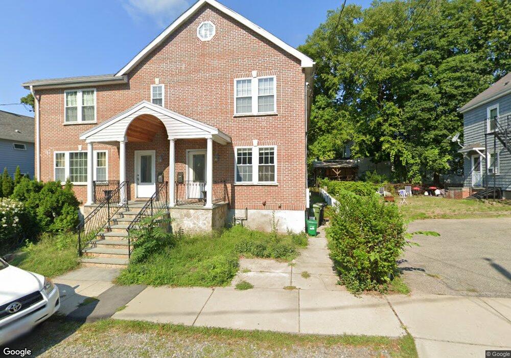
9 Thurston Rd Unit 11 Watertown, MA 02472
East Watertown NeighborhoodEstimated Value: $1,099,000 - $1,893,507
6
Beds
9
Baths
3,913
Sq Ft
$355/Sq Ft
Est. Value
About This Home
This home is located at 9 Thurston Rd Unit 11, Watertown, MA 02472 and is currently estimated at $1,388,877, approximately $354 per square foot. 9 Thurston Rd Unit 11 is a home located in Middlesex County with nearby schools including Jackson Walnut Park School, St. Stephen's Armenian Elementary School, and The Kendall School.
Ownership History
Date
Name
Owned For
Owner Type
Purchase Details
Closed on
Jun 8, 2005
Sold by
Caccavaro
Bought by
Romanos Kinda
Current Estimated Value
Home Financials for this Owner
Home Financials are based on the most recent Mortgage that was taken out on this home.
Original Mortgage
$500,000
Outstanding Balance
$261,534
Interest Rate
5.79%
Mortgage Type
Purchase Money Mortgage
Estimated Equity
$1,127,343
Create a Home Valuation Report for This Property
The Home Valuation Report is an in-depth analysis detailing your home's value as well as a comparison with similar homes in the area
Home Values in the Area
Average Home Value in this Area
Purchase History
| Date | Buyer | Sale Price | Title Company |
|---|---|---|---|
| Romanos Kinda | $627,000 | -- | |
| Romanos Kinda | $627,000 | -- | |
| Romanos Kinda | $627,000 | -- |
Source: Public Records
Mortgage History
| Date | Status | Borrower | Loan Amount |
|---|---|---|---|
| Open | Romanos Kinda | $500,000 | |
| Closed | Romanos Kinda | $500,000 |
Source: Public Records
Tax History Compared to Growth
Tax History
| Year | Tax Paid | Tax Assessment Tax Assessment Total Assessment is a certain percentage of the fair market value that is determined by local assessors to be the total taxable value of land and additions on the property. | Land | Improvement |
|---|---|---|---|---|
| 2025 | $17,543 | $1,502,000 | $479,600 | $1,022,400 |
| 2024 | $16,689 | $1,426,400 | $465,900 | $960,500 |
| 2023 | $18,787 | $1,383,400 | $450,800 | $932,600 |
| 2022 | $16,980 | $1,281,500 | $405,700 | $875,800 |
| 2021 | $15,607 | $1,274,000 | $398,200 | $875,800 |
| 2020 | $15,192 | $1,251,400 | $383,200 | $868,200 |
| 2019 | $12,447 | $966,400 | $368,200 | $598,200 |
| 2018 | $11,746 | $872,000 | $326,900 | $545,100 |
| 2017 | $12,112 | $872,000 | $326,900 | $545,100 |
| 2016 | $11,465 | $838,100 | $293,000 | $545,100 |
| 2015 | $12,463 | $829,200 | $278,000 | $551,200 |
| 2014 | $12,405 | $829,200 | $278,000 | $551,200 |
Source: Public Records
Map
Nearby Homes
- 14 N Beacon Ct
- 101 N Beacon St Unit 206
- 32 Royal St Unit 2
- 55 Phillips St
- 10 Williams St Unit 56
- 10 Williams St Unit 39
- 73 Charlesbank Rd Unit 105
- 164 Galen St Unit 65
- 164 Galen St Unit 57
- 4 Remick Terrace
- 93 Spring St Unit 29
- 185 Arsenal St
- 194 N Beacon St
- 66 Aldrich Rd Unit B
- 21 Fayette St Unit 1
- 61-63 Church St
- 118 Spring St Unit 118
- 169 Washington St Unit 7
- 159 Washington St Unit 4
- 180 Hunnewell Ave Unit 180
- 9 Thurston Rd Unit 9
- 9 Thurston Rd
- 59 Riverside St
- 15 Thurston Rd
- 8 Thurston Rd
- 8 Thurston Rd Unit 8
- 8 Thurston Rd Unit 8A
- 10 Thurston Rd Unit 10
- 12 Thurston Rd Unit n/a
- 21 Thurston Rd
- 16 Thurston Rd
- 51 Riverside St
- 51 Riverside St
- 77 Riverside St
- 53 Riverside St
- 66 Riverside St Unit B
- 20 Thurston Rd
- 25 Thurston Rd
- 62 Riverside St
- 62 Riverside St Unit 1