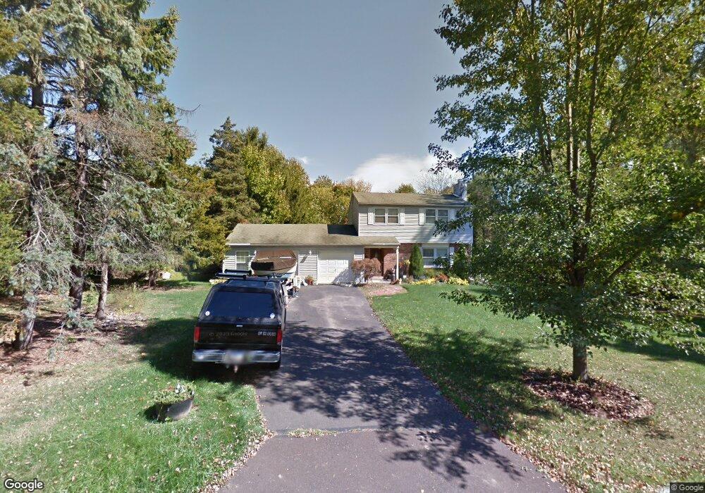
9 Tremont Ave Doylestown, PA 18901
Estimated Value: $553,000 - $597,000
4
Beds
2
Baths
1,536
Sq Ft
$373/Sq Ft
Est. Value
About This Home
This home is located at 9 Tremont Ave, Doylestown, PA 18901 and is currently estimated at $572,610, approximately $372 per square foot. 9 Tremont Ave is a home located in Bucks County with nearby schools including Bridge Valley Elementary School, Lenape Middle School, and Central Bucks High School-West.
Ownership History
Date
Name
Owned For
Owner Type
Purchase Details
Closed on
Feb 15, 1999
Sold by
Hacker Roger J and Reed Kathleen L
Bought by
Hacker Roger J
Current Estimated Value
Home Financials for this Owner
Home Financials are based on the most recent Mortgage that was taken out on this home.
Original Mortgage
$115,000
Outstanding Balance
$27,594
Interest Rate
6.9%
Estimated Equity
$545,016
Purchase Details
Closed on
Jan 31, 1994
Sold by
Rumer Ronald E and Rumer Joan C
Bought by
Rumer Ronald E and Rumer Joan C
Purchase Details
Closed on
Jan 7, 1992
Bought by
Hacker Roger J
Create a Home Valuation Report for This Property
The Home Valuation Report is an in-depth analysis detailing your home's value as well as a comparison with similar homes in the area
Home Values in the Area
Average Home Value in this Area
Purchase History
| Date | Buyer | Sale Price | Title Company |
|---|---|---|---|
| Hacker Roger J | $73,530 | -- | |
| Rumer Ronald E | -- | -- | |
| Hacker Roger J | $130,000 | -- |
Source: Public Records
Mortgage History
| Date | Status | Borrower | Loan Amount |
|---|---|---|---|
| Open | Hacker Roger J | $115,000 |
Source: Public Records
Tax History Compared to Growth
Tax History
| Year | Tax Paid | Tax Assessment Tax Assessment Total Assessment is a certain percentage of the fair market value that is determined by local assessors to be the total taxable value of land and additions on the property. | Land | Improvement |
|---|---|---|---|---|
| 2025 | $4,998 | $28,240 | $5,320 | $22,920 |
| 2024 | $4,998 | $28,240 | $5,320 | $22,920 |
| 2023 | $4,765 | $28,240 | $5,320 | $22,920 |
| 2022 | $4,712 | $28,240 | $5,320 | $22,920 |
| 2021 | $4,615 | $28,240 | $5,320 | $22,920 |
| 2020 | $4,594 | $28,240 | $5,320 | $22,920 |
| 2019 | $4,545 | $28,240 | $5,320 | $22,920 |
| 2018 | $4,530 | $28,240 | $5,320 | $22,920 |
| 2017 | $4,495 | $28,240 | $5,320 | $22,920 |
| 2016 | $4,467 | $28,240 | $5,320 | $22,920 |
| 2015 | -- | $28,240 | $5,320 | $22,920 |
| 2014 | -- | $28,240 | $5,320 | $22,920 |
Source: Public Records
Map
Nearby Homes
- 45 Bedford Ave
- 1 Squirrel Rd
- 125 Edison Furlong Rd
- 137 Pebble Woods Dri Pebble Woods Dr
- 60 Quarry Rd
- 420 Edison Furlong Rd
- 82 Avalon Ct Unit 2005
- 17 Addison Ct Unit 2703
- 1249 Pebble Hill Rd
- 21 Shady Springs Dr
- 2320 Turk Rd
- 78 Tower Hill Rd
- 2385 Waverly Dr
- 547 Mccarty Dr
- 2443 Sugar Bottom Rd
- 152 Watercrest Dr
- 2807 Mountain Laurel Dr
- 223 Cherry Ln
- 272 Fox Chase Ln
- 150 Watercrest Dr
- 17 Tremont Ave
- 217 Edison Furlong Rd
- 15 Wilkshire Rd
- 207 Edison Furlong Rd
- 219 Edison Furlong Rd
- 29 Tremont Ave
- 225 Edison Furlong Rd
- 25 Wilkshire Rd
- 2 Paxson Rd
- 10 Bedford Ave
- 33 Tremont Ave
- 220 Edison Furlong Rd
- 1 Wilkshire Rd
- 32 Bedford Ave
- 1 Paxson Rd
- 12 Wilkshire Rd
- 6 Wilkshire Rd
- 35 Tremont Ave
- 210 Edison Furlong Rd
- 000 Wilkshire Rd