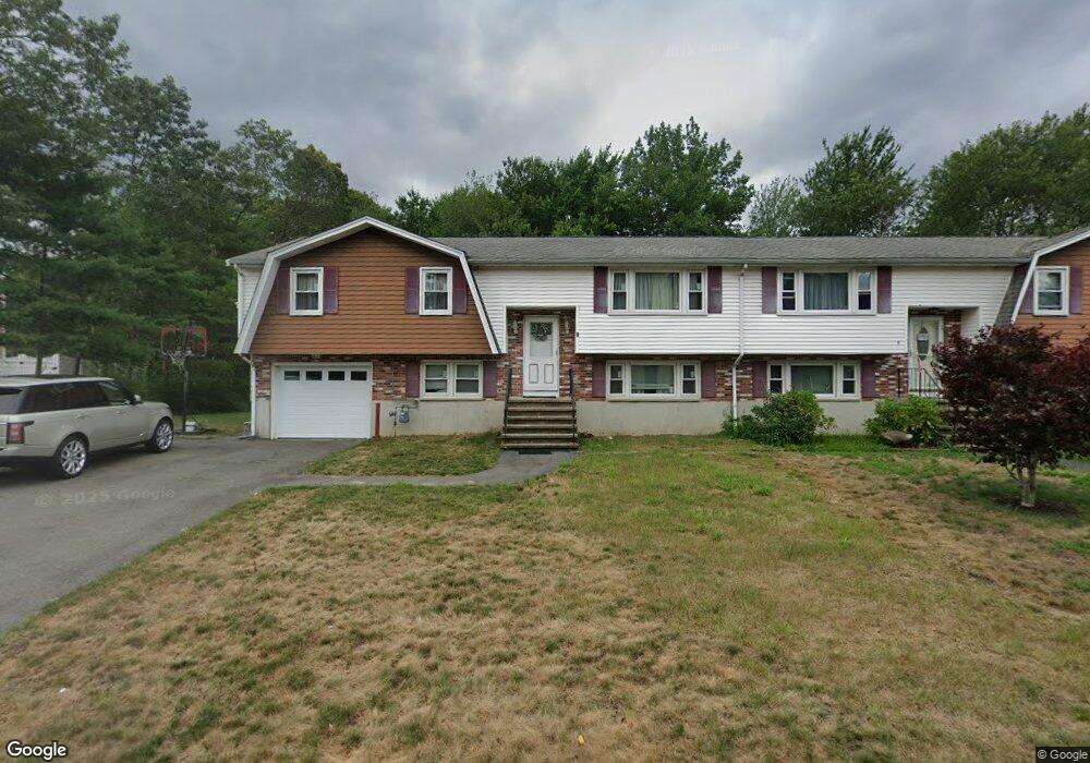
9 Vine Ln Randolph, MA 02368
North Randolph NeighborhoodEstimated Value: $378,000 - $484,000
3
Beds
1
Bath
1,460
Sq Ft
$298/Sq Ft
Est. Value
About This Home
House for rent, Split Level Home in a desirable location, Large 3 bedroom, Living Room, Dining room, Family Room, 1.5 Baths, House freshly painted, hardwood floor polished, kitchen, large yard, deck, $3,500 plus utilities, available 3/1/26 plus utilities.
Ownership History
Date
Name
Owned For
Owner Type
Purchase Details
Closed on
May 21, 2025
Sold by
Banosian Razmik A and Banosian Maral G
Bought by
Razmik A Banosian Ret and Banosian
Current Estimated Value
Purchase Details
Closed on
Oct 29, 1999
Sold by
Fnma
Bought by
Lee Ching S
Home Financials for this Owner
Home Financials are based on the most recent Mortgage that was taken out on this home.
Original Mortgage
$135,000
Interest Rate
7.78%
Mortgage Type
Purchase Money Mortgage
Create a Home Valuation Report for This Property
The Home Valuation Report is an in-depth analysis detailing your home's value as well as a comparison with similar homes in the area
Home Values in the Area
Average Home Value in this Area
Purchase History
| Date | Buyer | Sale Price | Title Company |
|---|---|---|---|
| Razmik A Banosian Ret | -- | None Available | |
| Razmik A Banosian Ret | -- | None Available | |
| Lee Ching S | $180,000 | -- |
Source: Public Records
Mortgage History
| Date | Status | Borrower | Loan Amount |
|---|---|---|---|
| Previous Owner | Lee Ching S | $135,000 |
Source: Public Records
Property History
| Date | Event | Price | List to Sale | Price per Sq Ft |
|---|---|---|---|---|
| 02/15/2026 02/15/26 | Off Market | $3,500 | -- | -- |
| 02/05/2026 02/05/26 | For Rent | $3,500 | -- | -- |
Tax History
| Year | Tax Paid | Tax Assessment Tax Assessment Total Assessment is a certain percentage of the fair market value that is determined by local assessors to be the total taxable value of land and additions on the property. | Land | Improvement |
|---|---|---|---|---|
| 2025 | $5,093 | $438,700 | $0 | $438,700 |
| 2024 | $5,135 | $448,500 | $0 | $448,500 |
| 2023 | $4,694 | $388,600 | $0 | $388,600 |
| 2022 | $4,546 | $334,300 | $0 | $334,300 |
| 2021 | $4,302 | $291,100 | $0 | $291,100 |
| 2020 | $4,175 | $280,000 | $0 | $280,000 |
| 2019 | $4,069 | $271,600 | $0 | $271,600 |
| 2018 | $3,825 | $240,900 | $0 | $240,900 |
| 2017 | $3,718 | $229,800 | $0 | $229,800 |
| 2016 | $3,805 | $218,800 | $0 | $218,800 |
| 2015 | $3,723 | $205,700 | $0 | $205,700 |
Source: Public Records
Map
Nearby Homes
- 17 Mazzeo Dr
- 43 Emily Jeffers Rd
- 153 West St
- 159 Bittersweet Ln Unit 107
- 79 Gold St
- 1831 Turnpike St
- 59 Highland Glen Dr Unit 328
- 54 Highland Glen Dr
- 16 Grove Square Unit 16
- 33 Hemlock Terrace
- 43 West St Unit A2
- 54 Jasper Ln
- 20 Simmonds Blvd Unit 20
- 18 Simmonds Blvd Unit 18
- 8 Simmonds Blvd Unit 8
- 22 Simmonds Blvd Unit 22
- 10 Simmonds Blvd Unit 10
- 24 Simmonds Blvd Unit 24
- 6 Simmonds Blvd Unit 6
- 71 Cole Terrace
Your Personal Tour Guide
Ask me questions while you tour the home.