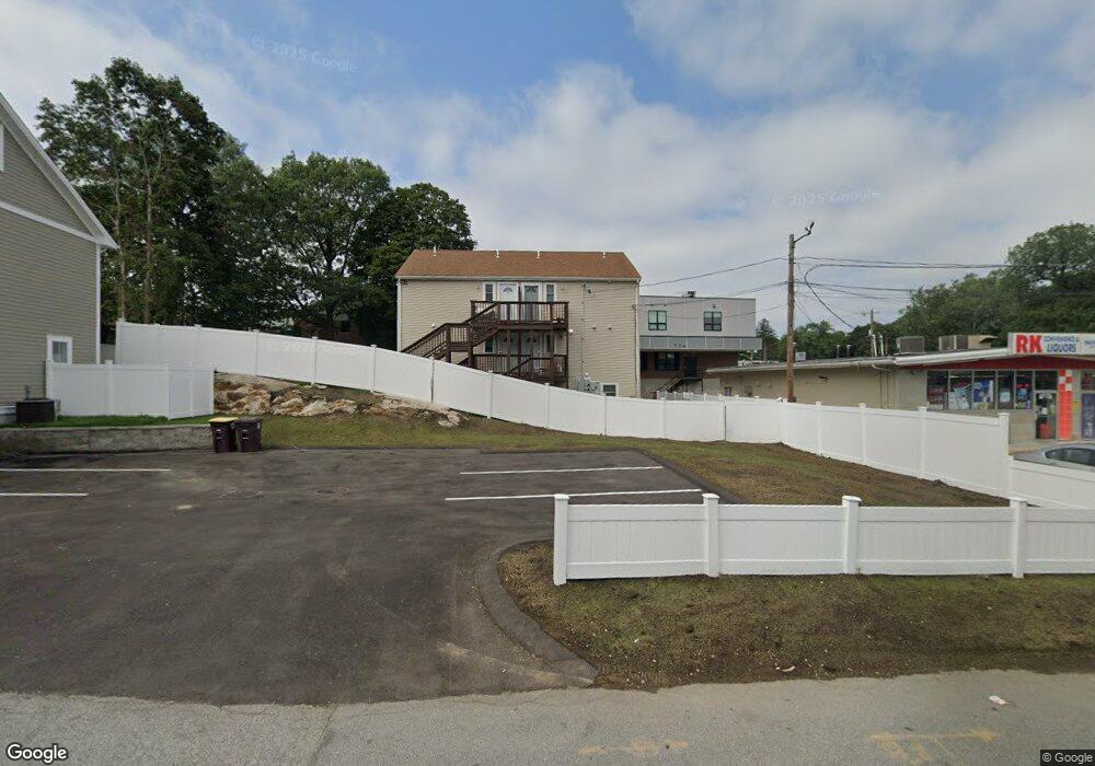
9 Vine St Weymouth, MA 02188
Weymouth Landing NeighborhoodEstimated Value: $440,000 - $771,000
2
Beds
1
Bath
1,280
Sq Ft
$515/Sq Ft
Est. Value
About This Home
This home is located at 9 Vine St, Weymouth, MA 02188 and is currently estimated at $659,000, approximately $514 per square foot. 9 Vine St is a home located in Norfolk County with nearby schools including Frederick C Murphy, Abigail Adams Middle School, and Weymouth Middle School Chapman.
Ownership History
Date
Name
Owned For
Owner Type
Purchase Details
Closed on
Oct 24, 2023
Sold by
Welch 19 Vine Street Llc
Bought by
19 Vine St Llc
Current Estimated Value
Home Financials for this Owner
Home Financials are based on the most recent Mortgage that was taken out on this home.
Original Mortgage
$560,000
Outstanding Balance
$547,958
Interest Rate
7.12%
Mortgage Type
Purchase Money Mortgage
Estimated Equity
$111,042
Purchase Details
Closed on
Oct 24, 2008
Sold by
Barker Archibald J and Turner Mary R
Bought by
Welch 19 Vine Street L
Home Financials for this Owner
Home Financials are based on the most recent Mortgage that was taken out on this home.
Original Mortgage
$152,000
Interest Rate
5.94%
Mortgage Type
Purchase Money Mortgage
Create a Home Valuation Report for This Property
The Home Valuation Report is an in-depth analysis detailing your home's value as well as a comparison with similar homes in the area
Home Values in the Area
Average Home Value in this Area
Purchase History
| Date | Buyer | Sale Price | Title Company |
|---|---|---|---|
| 19 Vine St Llc | $560,000 | None Available | |
| 19 Vine St Llc | $560,000 | None Available | |
| Welch 19 Vine Street L | $190,000 | -- | |
| Welch 19 Vine Street L | $190,000 | -- | |
| Welch 19 Vine Street L | $190,000 | -- |
Source: Public Records
Mortgage History
| Date | Status | Borrower | Loan Amount |
|---|---|---|---|
| Open | 19 Vine St Llc | $560,000 | |
| Closed | 19 Vine St Llc | $560,000 | |
| Previous Owner | Welch 19 Vine Street L | $152,000 | |
| Previous Owner | Welch 19 Vine Street L | $4,000 |
Source: Public Records
Tax History Compared to Growth
Tax History
| Year | Tax Paid | Tax Assessment Tax Assessment Total Assessment is a certain percentage of the fair market value that is determined by local assessors to be the total taxable value of land and additions on the property. | Land | Improvement |
|---|---|---|---|---|
| 2025 | $1,931 | $191,200 | $191,200 | $0 |
| 2024 | $3,171 | $308,800 | $182,100 | $126,700 |
| 2023 | $3,121 | $298,700 | $168,600 | $130,100 |
| 2022 | $3,076 | $268,400 | $156,100 | $112,300 |
| 2021 | $2,971 | $253,100 | $156,100 | $97,000 |
| 2020 | $2,870 | $240,800 | $156,100 | $84,700 |
| 2019 | $2,630 | $217,000 | $150,100 | $66,900 |
| 2018 | $2,618 | $209,400 | $143,000 | $66,400 |
| 2017 | $2,246 | $175,300 | $136,200 | $39,100 |
| 2016 | $2,181 | $170,400 | $131,000 | $39,400 |
| 2015 | $2,174 | $168,500 | $131,000 | $37,500 |
| 2014 | $1,942 | $146,000 | $109,700 | $36,300 |
Source: Public Records
Map
Nearby Homes
- 19 Vine St Unit 3
- 19 Vine St Unit 1
- 114 Broad St Unit D
- 114 Broad St Unit C
- 23-25 Lindbergh Ave
- 16 Lindbergh Ave
- 11 Richmond St
- 122 Washington St Unit 22
- 76 Kingman St
- 33 Congress St
- 286 Broad St
- 15 Summer St
- 12 Klasson Ln
- 36 Brookside Rd
- 294 Commercial St
- 286 Essex St
- 367 Essex St
- 24 Blake Rd
- 37 Lantern Ln
- 15 1st St
- 9 Vine St Unit 1
- 10 Vine St
- 19 Vine St
- 135 Broad St Unit 1A
- 135 Broad St Unit 2B
- 135 Broad St Unit 4D
- 135 Broad St
- 18 Vine St
- 151 Broad St
- 136 Broad St
- 11 Foye Ave
- 125 Broad St Unit c108
- 125 Broad St Unit c228
- 125 Broad St
- 155 Broad St
- 26 Vine St
- 15 Foye Ave Unit 17
- 144 Broad St Unit 146
- 138-140 Broad St
- 138 Broad St Unit 140