9 W Branch Rd Little Compton, RI 02837
Estimated Value: $738,000 - $981,000
3
Beds
2
Baths
1,688
Sq Ft
$496/Sq Ft
Est. Value
About This Home
This home is located at 9 W Branch Rd, Little Compton, RI 02837 and is currently estimated at $837,493, approximately $496 per square foot. 9 W Branch Rd is a home located in Newport County with nearby schools including Wilbur & McMahon School.
Ownership History
Date
Name
Owned For
Owner Type
Purchase Details
Closed on
Mar 5, 2013
Sold by
Owen Maureen J
Bought by
Owen Francis D
Current Estimated Value
Purchase Details
Closed on
Dec 21, 1982
Bought by
Owen Francis D
Create a Home Valuation Report for This Property
The Home Valuation Report is an in-depth analysis detailing your home's value as well as a comparison with similar homes in the area
Home Values in the Area
Average Home Value in this Area
Purchase History
| Date | Buyer | Sale Price | Title Company |
|---|---|---|---|
| Owen Francis D | -- | -- | |
| Owen Francis D | -- | -- |
Source: Public Records
Mortgage History
| Date | Status | Borrower | Loan Amount |
|---|---|---|---|
| Previous Owner | Owen Francis D | $37,010 | |
| Previous Owner | Owen Francis D | $40,000 |
Source: Public Records
Tax History
| Year | Tax Paid | Tax Assessment Tax Assessment Total Assessment is a certain percentage of the fair market value that is determined by local assessors to be the total taxable value of land and additions on the property. | Land | Improvement |
|---|---|---|---|---|
| 2025 | $2,943 | $614,500 | $326,800 | $287,700 |
| 2024 | $2,437 | $479,800 | $255,700 | $224,100 |
| 2023 | $2,380 | $479,800 | $255,700 | $224,100 |
| 2022 | $2,351 | $479,800 | $255,700 | $224,100 |
| 2021 | $2,594 | $429,500 | $215,300 | $214,200 |
| 2020 | $2,573 | $429,500 | $215,300 | $214,200 |
| 2019 | $2,547 | $429,500 | $215,300 | $214,200 |
| 2018 | $2,451 | $411,200 | $198,100 | $213,100 |
| 2016 | $2,332 | $411,200 | $198,100 | $213,100 |
| 2015 | $2,538 | $441,400 | $196,800 | $244,600 |
| 2014 | $2,489 | $441,400 | $196,800 | $244,600 |
Source: Public Records
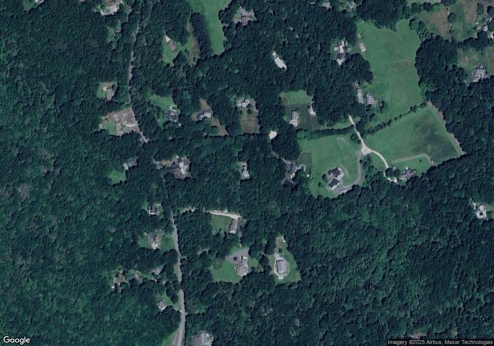
Map
Nearby Homes
- 245 John Dyer Rd
- 25 Quail Trail
- 17 Quail Trail
- 116 Amy Hart Path
- 140 Long Hwy
- 140I Long Hwy
- 90 Two Rod Rd
- 502 Southlake Rd
- 184 Field Stone Ln
- 255 John Dyer Rd
- 164 Stoney Hollow Rd
- 127 Preservation Way
- 505 Long Hwy
- 1282 East Rd
- 1 Puddingstone Cir
- 0 Willow Ave
- 141 Peckham Rd
- 101 Adamsville Rd
- 839 Main Rd
- 4 Pequaw-Honk Dr
- 15 W Branch Rd
- 68 John Dyer Rd
- 104 John Dyer Rd
- 60 John Dyer Rd
- 12 W Branch Rd
- 8 W Branch Rd
- 33 Big Drum Rd
- 41 Big Drum Rd
- 4 W Branch Rd
- 70 John Dyer Rd
- 63 John Dyer Rd
- 23 Big Drum Rd
- 59 John Dyer Rd
- 67 John Dyer Rd
- 51 John Dyer Rd
- 73 John Dyer Rd
- 32 Big Drum Rd
- 40 John Dyer Rd
- 15 Big Drum Rd
- 24 Big Drum Rd
Your Personal Tour Guide
Ask me questions while you tour the home.