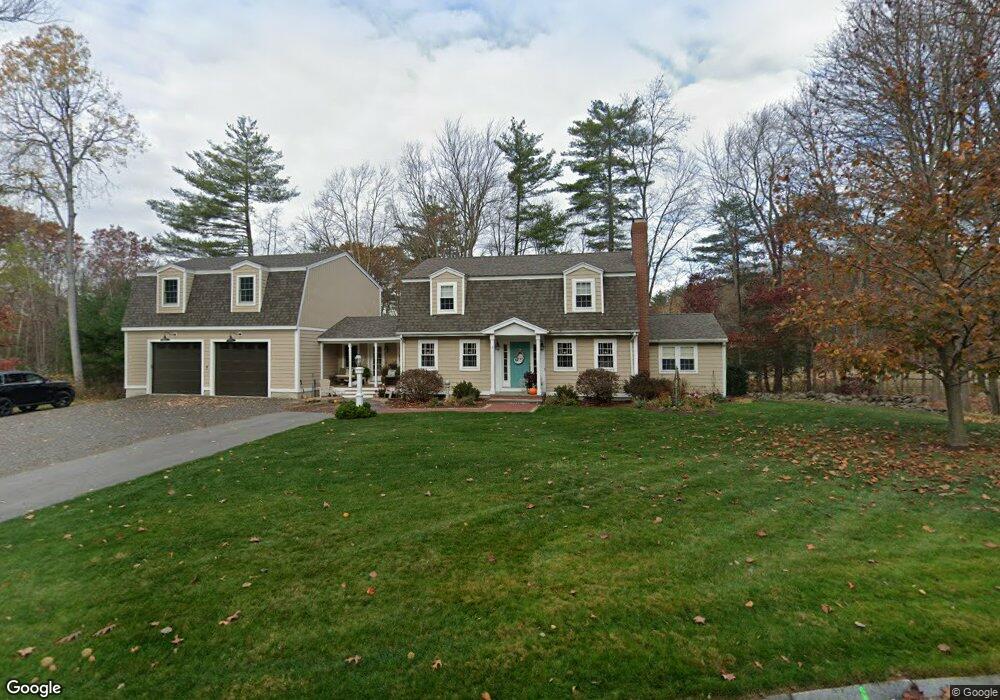
9 W Parish Ln Merrimac, MA 01860
Estimated Value: $757,000 - $823,000
3
Beds
3
Baths
2,632
Sq Ft
$296/Sq Ft
Est. Value
About This Home
This home is located at 9 W Parish Ln, Merrimac, MA 01860 and is currently estimated at $780,022, approximately $296 per square foot. 9 W Parish Ln is a home located in Essex County with nearby schools including Pentucket Regional High School.
Ownership History
Date
Name
Owned For
Owner Type
Purchase Details
Closed on
Sep 12, 2022
Sold by
Moustafa Lori and Moustafa Stephen G
Bought by
Moustafa Ft and Moustafa
Current Estimated Value
Purchase Details
Closed on
Jan 23, 1996
Sold by
Mitchell Inc
Bought by
Moustafa Stephen and Moustafa Lori
Create a Home Valuation Report for This Property
The Home Valuation Report is an in-depth analysis detailing your home's value as well as a comparison with similar homes in the area
Home Values in the Area
Average Home Value in this Area
Purchase History
| Date | Buyer | Sale Price | Title Company |
|---|---|---|---|
| Moustafa Ft | -- | None Available | |
| Moustafa Stephen | $159,900 | -- |
Source: Public Records
Mortgage History
| Date | Status | Borrower | Loan Amount |
|---|---|---|---|
| Previous Owner | Moustafa Stephen | $50,000 | |
| Previous Owner | Moustafa Stephen | $185,000 | |
| Previous Owner | Moustafa Stephen | $170,000 | |
| Previous Owner | Moustafa Stephen | $135,000 |
Source: Public Records
Tax History Compared to Growth
Tax History
| Year | Tax Paid | Tax Assessment Tax Assessment Total Assessment is a certain percentage of the fair market value that is determined by local assessors to be the total taxable value of land and additions on the property. | Land | Improvement |
|---|---|---|---|---|
| 2025 | $9,123 | $688,500 | $303,100 | $385,400 |
| 2024 | $9,233 | $683,900 | $303,100 | $380,800 |
| 2023 | $7,664 | $518,900 | $262,700 | $256,200 |
| 2022 | $6,971 | $426,600 | $218,900 | $207,700 |
| 2021 | $6,954 | $426,600 | $218,900 | $207,700 |
| 2020 | $6,348 | $426,600 | $218,900 | $207,700 |
| 2019 | $5,723 | $362,000 | $161,600 | $200,400 |
| 2018 | $5,371 | $340,800 | $144,800 | $196,000 |
| 2017 | $5,461 | $334,200 | $144,800 | $189,400 |
| 2016 | $5,330 | $329,800 | $144,800 | $185,000 |
| 2015 | $5,112 | $314,600 | $144,800 | $169,800 |
| 2014 | $4,999 | $314,600 | $144,800 | $169,800 |
Source: Public Records
Map
Nearby Homes
- 3 W Parish Ln
- 3 Noyes Ln
- 80 Brandy Brow Rd
- 0 Mountain View Ave
- 4 Vendome St Unit 2
- 0 W Main St
- 21 Green St
- 14 Corliss Hill Rd
- 11 Central St
- 49 Church St
- 42 School St
- 46 Locust St
- 21-23 E Main St
- 71 Old Amesbury Line Rd
- 531 Amesbury Rd
- 5 Wentworth Dr
- 18 Harriman Rd
- 2 River Rd
- 80 Margerie St
- 98 Sweet Hill Rd
- 14 W Parish Ln
- 12 W Parish Ln
- 7 W Parish Ln
- 4 Stevens Terrace
- 13 W Parish Ln
- 10 W Parish Ln
- 16 W Parish Ln
- 5 W Parish Ln
- 8 W Parish Ln
- 3 Stevens Terrace
- 15 W Parish Ln
- 6 Stevens Terrace
- 18 W Parish Ln
- 30 Birchmeadow Rd
- 5 Clement Place
- 30 Birch Meadow Rd
- 5 Stevens Terrace
- 20 W Parish Ln
- 17 W Parish Ln
- 6 W Parish Ln