9 Walker Brook Rd S Washington Depot, CT 06794
Estimated Value: $442,704 - $1,809,000
2
Beds
4
Baths
1,700
Sq Ft
$561/Sq Ft
Est. Value
About This Home
This home is located at 9 Walker Brook Rd S, Washington Depot, CT 06794 and is currently estimated at $953,926, approximately $561 per square foot. 9 Walker Brook Rd S is a home located in Litchfield County with nearby schools including Shepaug Valley School, The Glenholme School, and The Frederick Gunn School.
Ownership History
Date
Name
Owned For
Owner Type
Purchase Details
Closed on
Aug 18, 2015
Sold by
Boccuzzi David M
Bought by
Boccuzzi David M and Boccuzzi Sheryl J
Current Estimated Value
Purchase Details
Closed on
Aug 10, 2015
Sold by
Boccuzzi David
Bought by
Boccuzzi David and Boccuzzi Sheryl
Create a Home Valuation Report for This Property
The Home Valuation Report is an in-depth analysis detailing your home's value as well as a comparison with similar homes in the area
Home Values in the Area
Average Home Value in this Area
Purchase History
| Date | Buyer | Sale Price | Title Company |
|---|---|---|---|
| Boccuzzi David M | -- | -- | |
| Boccuzzi David M | -- | -- | |
| Boccuzzi David | -- | -- | |
| Boccuzzi David | -- | -- |
Source: Public Records
Mortgage History
| Date | Status | Borrower | Loan Amount |
|---|---|---|---|
| Previous Owner | Boccuzzi David | $108,000 |
Source: Public Records
Tax History
| Year | Tax Paid | Tax Assessment Tax Assessment Total Assessment is a certain percentage of the fair market value that is determined by local assessors to be the total taxable value of land and additions on the property. | Land | Improvement |
|---|---|---|---|---|
| 2025 | $2,730 | $251,580 | $68,670 | $182,910 |
| 2024 | $2,692 | $248,080 | $68,670 | $179,410 |
| 2023 | $2,717 | $190,660 | $69,300 | $121,360 |
| 2022 | $2,717 | $190,660 | $69,300 | $121,360 |
| 2021 | $2,717 | $190,660 | $69,300 | $121,360 |
| 2020 | $24,819 | $190,660 | $69,300 | $121,360 |
| 2019 | $2,717 | $190,660 | $69,300 | $121,360 |
| 2018 | $2,797 | $196,270 | $75,600 | $120,670 |
| 2017 | $2,827 | $198,410 | $75,600 | $122,810 |
| 2016 | $2,819 | $197,840 | $75,600 | $122,240 |
| 2015 | $2,720 | $197,840 | $75,600 | $122,240 |
| 2014 | $2,671 | $197,840 | $75,600 | $122,240 |
Source: Public Records
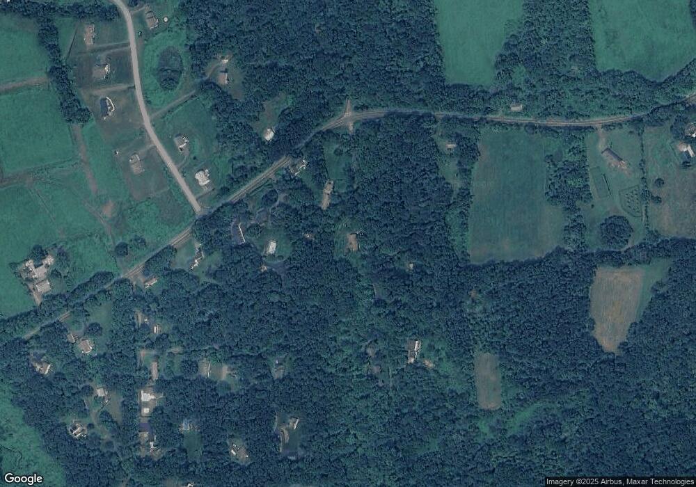
Map
Nearby Homes
- 55 Washington Ridge Rd
- 106 Washington Ridge Rd
- 85 W Church Hill Rd
- 109 Church Hill Rd
- Lot 2 060804A Popple Swamp Rd
- LOT 1 060804 Popple Swamp Rd
- 120 Old Hayrake Ln
- 36 Sunset Ln
- 268 Chestnut Land Rd
- 37 Church Hill Rd
- 35 Hillendale Dr
- 14 Cook St
- 5 Western View Rd
- 12 Brentwood Rd
- 10 Harmony Trail
- 4 Blossom Ct
- 17 Charterhouse Rd
- 62 Big Bear Hill Rd
- 25 Stone Oak Dr
- 21 Rolling Glen Dr
- 21 Walker Brook Rd S
- 14 Walker Brook Rd N
- 3 Walker Brook Rd
- 3 Walker Brook Rd S
- 323 Walker Brook Rd S
- 3 Walker Brook Rd S
- 462 Chestnut Land Rd
- 458 Chestnut Land Rd
- 461 Chestnut Land Rd
- 227 Church Hill Rd
- 2 Hawthorne Ln
- 2 Hawthorne Ln Unit 61
- 2 Hawthorne Ln
- 1 Taryn Ln
- 452 Chestnut Land Rd
- 24 Walker Brook Rd S
- 3 Taryn Ln
- 10 Hawthorne Ln Unit 59
- 1 Red Fox Ln
- 6 Hawthorne Ln
Your Personal Tour Guide
Ask me questions while you tour the home.