Estimated Value: $3,348,000
2
Beds
2
Baths
2,788
Sq Ft
$1,201/Sq Ft
Est. Value
About This Home
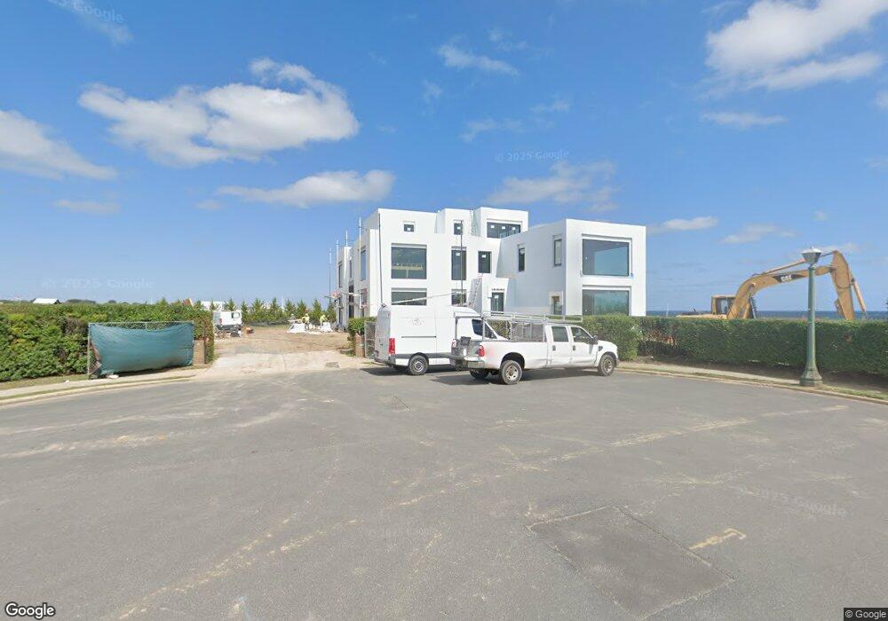
This home is located at 9 Wallace Rd, Deal, NJ 07723 and is currently priced at $3,348,000, approximately $1,200 per square foot. 9 Wallace Rd is a home located in Monmouth County with nearby schools including Deal Elementary School, Hope Academy Charter School, and St. Mary of the Assumption School.
Ownership History
Date
Name
Owned For
Owner Type
Purchase Details
Closed on
May 4, 2016
Sold by
Tobias Family Limited Par Tnership
Bought by
8 Wallace Llc
Current Estimated Value
Home Financials for this Owner
Home Financials are based on the most recent Mortgage that was taken out on this home.
Interest Rate
3.66%
Purchase Details
Closed on
Jun 29, 2007
Sold by
Tobias Sophie
Bought by
The Tobias Family Lp
Create a Home Valuation Report for This Property
The Home Valuation Report is an in-depth analysis detailing your home's value as well as a comparison with similar homes in the area
Home Values in the Area
Average Home Value in this Area
Purchase History
| Date | Buyer | Sale Price | Title Company |
|---|---|---|---|
| 8 Wallace Llc | $10,000,000 | -- | |
| The Tobias Family Lp | -- | Trans County Title Agency Ll | |
| Tobias Sophie | -- | Trans County Title Agency Ll |
Source: Public Records
Mortgage History
| Date | Status | Borrower | Loan Amount |
|---|---|---|---|
| Closed | 8 Wallace Llc | -- |
Source: Public Records
Tax History
| Year | Tax Paid | Tax Assessment Tax Assessment Total Assessment is a certain percentage of the fair market value that is determined by local assessors to be the total taxable value of land and additions on the property. | Land | Improvement |
|---|---|---|---|---|
| 2025 | $82,572 | $21,981,800 | $21,981,800 | -- |
| 2024 | $77,430 | $19,337,700 | $19,234,000 | $103,700 |
Source: Public Records
Map
Nearby Homes
- 160 Ocean Ave
- 10 Campbell Ct
- 57 Hathaway Ave
- 26 Wyckoff St
- 48 Neptune Ave
- 15 Joanna Ct
- 127 Cedar Ave
- 339 Elberon Blvd
- 18 Lady Bess Dr
- 244 Overbrook Ave
- 328 Elberon Blvd
- 222 Cedar Ave
- 0 Overbrook Ave
- 1 Country Club Dr
- 267 Roosevelt Ave
- 274 Michael Ave
- 510 Blanchard Pkwy
- 101 Lincoln Ave
- 24 Berger Ave
- 271 Jerome Ave
- 15 Wallace Rd
- 8 Wallace Rd
- 14 Wallace Rd
- 21 Wallace Rd
- 20 Wallace Rd
- 191 Ocean Ave
- 27 Wallace Rd
- 26 Wallace Rd
- 189 Ocean Ave
- 5 Clem Conover Rd
- 23 Clem Conover Rd
- 156 Ocean Ave
- 170 Ocean Ave
- 29 Clem Conover Rd
- 3 Runyan Ave
- 150 Ocean Ave
- 35 Clem Conover Rd
- 142 Ocean Ave
- 2 Clem Conover Rd
- 24 Clem Conover Rd
Your Personal Tour Guide
Ask me questions while you tour the home.