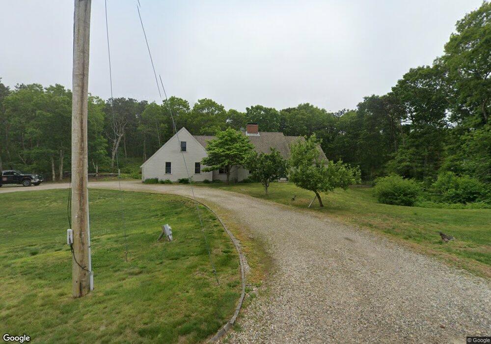
9 Wayne Rd Bourne, MA 2532
Estimated Value: $785,000 - $951,843
3
Beds
2
Baths
2,919
Sq Ft
$302/Sq Ft
Est. Value
About This Home
This home is located at 9 Wayne Rd, Bourne, MA 2532 and is currently estimated at $881,711, approximately $302 per square foot. 9 Wayne Rd is a home located in Barnstable County with nearby schools including Bourne High School, Bridgeview Montessori School, and Waldorf School of Cape Cod.
Ownership History
Date
Name
Owned For
Owner Type
Purchase Details
Closed on
Sep 18, 2017
Sold by
Lamborghini Lance and Lamborghini Crowninshild-Lamborghn C
Bought by
Simple Man Lt
Current Estimated Value
Purchase Details
Closed on
Mar 9, 2009
Sold by
Lamborghini Lance
Bought by
Crowninshield-Lambor C and Lamborghini Lance
Home Financials for this Owner
Home Financials are based on the most recent Mortgage that was taken out on this home.
Original Mortgage
$143,400
Interest Rate
5.14%
Create a Home Valuation Report for This Property
The Home Valuation Report is an in-depth analysis detailing your home's value as well as a comparison with similar homes in the area
Home Values in the Area
Average Home Value in this Area
Purchase History
| Date | Buyer | Sale Price | Title Company |
|---|---|---|---|
| Simple Man Lt | -- | -- | |
| Crowninshield-Lambor C | -- | -- |
Source: Public Records
Mortgage History
| Date | Status | Borrower | Loan Amount |
|---|---|---|---|
| Previous Owner | Crowninshield-Lambor C | $143,400 |
Source: Public Records
Tax History
| Year | Tax Paid | Tax Assessment Tax Assessment Total Assessment is a certain percentage of the fair market value that is determined by local assessors to be the total taxable value of land and additions on the property. | Land | Improvement |
|---|---|---|---|---|
| 2025 | $5,872 | $751,900 | $206,700 | $545,200 |
| 2024 | $5,793 | $722,300 | $196,800 | $525,500 |
| 2023 | $5,633 | $639,400 | $174,200 | $465,200 |
| 2022 | $5,329 | $528,100 | $154,200 | $373,900 |
| 2021 | $5,222 | $484,900 | $140,300 | $344,600 |
| 2020 | $4,950 | $460,900 | $139,000 | $321,900 |
| 2019 | $4,655 | $442,900 | $139,000 | $303,900 |
| 2018 | $4,483 | $425,300 | $132,400 | $292,900 |
| 2017 | $4,189 | $406,700 | $131,100 | $275,600 |
| 2016 | $4,063 | $399,900 | $131,100 | $268,800 |
| 2015 | $3,953 | $392,600 | $123,800 | $268,800 |
Source: Public Records
Map
Nearby Homes
- 51 Commonwealth Ave
- 51 Commonwealth Ave
- 896 Sandwich Rd
- 18 Gibbs Rd
- 15 Route 6a
- 5 Candlewood Dr
- 8 Jillian Dr
- 7 Bourne Ave
- 4 Andrew Rd
- 71 Tupper Rd
- 5 Pine St
- 16 Ocean Pines Dr Unit B
- 16 Town Neck Rd
- 6 Aspen Rd Unit 6
- 6 Aspen Rd
- 8 Driftwood Ln
- 6 Burg Ave
- 150 Herring Pond Rd
- 12 Burg Ave
- 133 Phillips Rd
Your Personal Tour Guide
Ask me questions while you tour the home.