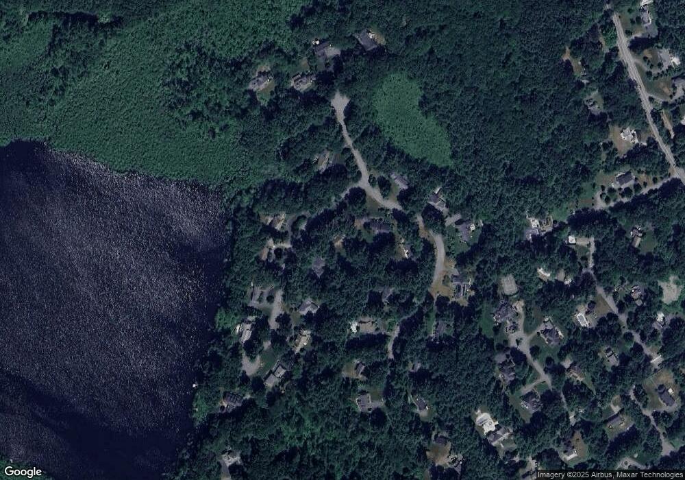
9 Webster Cir Sudbury, MA 01776
Estimated Value: $1,642,000 - $1,793,000
4
Beds
4
Baths
4,126
Sq Ft
$409/Sq Ft
Est. Value
About This Home
This home is located at 9 Webster Cir, Sudbury, MA 01776 and is currently estimated at $1,687,900, approximately $409 per square foot. 9 Webster Cir is a home located in Middlesex County with nearby schools including General John Nixon Elementary School, Ephraim Curtis Middle School, and Lincoln-Sudbury Regional High School.
Ownership History
Date
Name
Owned For
Owner Type
Purchase Details
Closed on
Jun 19, 2024
Sold by
Rozelle Bruce D and Rozelle Adrienne K
Bought by
Rozelle T T and Rozelle R
Current Estimated Value
Purchase Details
Closed on
Apr 19, 1991
Sold by
Aramati Victor S and Aramati Chantal M
Bought by
Rozelle Bruce D and Rozelle Adrienne K
Purchase Details
Closed on
May 20, 1987
Sold by
Countryside Est Inc
Bought by
Aramati Victor S
Home Financials for this Owner
Home Financials are based on the most recent Mortgage that was taken out on this home.
Original Mortgage
$445,000
Interest Rate
9.48%
Mortgage Type
Purchase Money Mortgage
Create a Home Valuation Report for This Property
The Home Valuation Report is an in-depth analysis detailing your home's value as well as a comparison with similar homes in the area
Home Values in the Area
Average Home Value in this Area
Purchase History
| Date | Buyer | Sale Price | Title Company |
|---|---|---|---|
| Rozelle T T | -- | None Available | |
| Rozelle T T | -- | None Available | |
| Rozelle Bruce D | $529,000 | -- | |
| Rozelle Bruce D | $529,000 | -- | |
| Aramati Victor S | $645,000 | -- |
Source: Public Records
Mortgage History
| Date | Status | Borrower | Loan Amount |
|---|---|---|---|
| Previous Owner | Aramati Victor S | $445,000 |
Source: Public Records
Tax History Compared to Growth
Tax History
| Year | Tax Paid | Tax Assessment Tax Assessment Total Assessment is a certain percentage of the fair market value that is determined by local assessors to be the total taxable value of land and additions on the property. | Land | Improvement |
|---|---|---|---|---|
| 2025 | $23,699 | $1,618,800 | $546,900 | $1,071,900 |
| 2024 | $22,795 | $1,560,200 | $530,900 | $1,029,300 |
| 2023 | $21,032 | $1,333,700 | $474,100 | $859,600 |
| 2022 | $20,409 | $1,130,700 | $434,800 | $695,900 |
| 2021 | $19,485 | $1,034,800 | $434,800 | $600,000 |
| 2020 | $19,092 | $1,034,800 | $434,800 | $600,000 |
| 2019 | $18,533 | $1,034,800 | $434,800 | $600,000 |
| 2018 | $18,086 | $1,008,700 | $462,500 | $546,200 |
| 2017 | $17,722 | $999,000 | $458,100 | $540,900 |
| 2016 | $17,179 | $965,100 | $440,400 | $524,700 |
| 2015 | $17,081 | $970,500 | $456,500 | $514,000 |
| 2014 | $17,064 | $946,400 | $443,200 | $503,200 |
Source: Public Records
Map
Nearby Homes
- 54 Phillips Rd
- 12 Camperdown Ln
- 4 Elderberry Cir
- 47 Fairbank Rd
- 55 Widow Rites Ln
- 45 Widow Rites Ln
- 36 Old Forge Ln
- 166 Parker St Unit 4
- 5 Taintor Dr
- 11 Great Lake Dr
- 24 Goodnow Rd
- 63 Canterbury Dr
- 21 Summer St
- 14 Tanbark Rd
- 57 Longfellow Rd
- 250 Great Rd
- 7 Saddle Ridge Rd
- 10 Oak Ridge Dr Unit 5
- 589 North Rd
- 427 Concord Rd
