9 Yorkshire Rd Norwalk, CT 06854
West Norwalk NeighborhoodEstimated Value: $556,000 - $984,800
Studio
2
Baths
--
Sq Ft
58,370
Sq Ft Lot
About This Home
This home is located at 9 Yorkshire Rd, Norwalk, CT 06854 and is currently estimated at $821,450. 9 Yorkshire Rd is a home located in Fairfield County with nearby schools including Fox Run Elementary School, Ponus Ridge Middle School, and Brien Mcmahon High School.
Ownership History
Date
Name
Owned For
Owner Type
Purchase Details
Closed on
Aug 30, 2010
Sold by
Bronner Bruce
Bought by
Drosos Ioannis M
Current Estimated Value
Purchase Details
Closed on
Nov 29, 2005
Sold by
9 Bettswood Assoc Llc
Bought by
Drosos Ioannis M
Purchase Details
Closed on
Mar 6, 1996
Sold by
Reid Donald
Bought by
Slavin Kimberly A
Home Financials for this Owner
Home Financials are based on the most recent Mortgage that was taken out on this home.
Original Mortgage
$90,000
Interest Rate
7%
Mortgage Type
Unknown
Create a Home Valuation Report for This Property
The Home Valuation Report is an in-depth analysis detailing your home's value as well as a comparison with similar homes in the area
Home Values in the Area
Average Home Value in this Area
Purchase History
| Date | Buyer | Sale Price | Title Company |
|---|---|---|---|
| Drosos Ioannis M | $385,000 | -- | |
| Drosos Ioannis M | $385,000 | -- | |
| Drosos Ioannis M | $650,000 | -- | |
| Drosos Ioannis M | $650,000 | -- | |
| Slavin Kimberly A | $262,000 | -- | |
| Slavin Kimberly A | $262,000 | -- |
Source: Public Records
Mortgage History
| Date | Status | Borrower | Loan Amount |
|---|---|---|---|
| Previous Owner | Slavin Kimberly A | $90,000 |
Source: Public Records
Tax History
| Year | Tax Paid | Tax Assessment Tax Assessment Total Assessment is a certain percentage of the fair market value that is determined by local assessors to be the total taxable value of land and additions on the property. | Land | Improvement |
|---|---|---|---|---|
| 2025 | $15,464 | $651,410 | $264,470 | $386,940 |
| 2024 | $15,227 | $651,410 | $264,470 | $386,940 |
| 2023 | $12,294 | $492,440 | $247,580 | $244,860 |
| 2022 | $12,099 | $492,360 | $247,500 | $244,860 |
| 2021 | $10,297 | $492,440 | $247,580 | $244,860 |
| 2020 | $11,625 | $492,440 | $247,580 | $244,860 |
| 2019 | $11,227 | $492,440 | $247,580 | $244,860 |
| 2018 | $12,456 | $480,360 | $282,210 | $198,150 |
| 2017 | $12,021 | $480,360 | $282,210 | $198,150 |
| 2016 | $12,220 | $480,360 | $282,210 | $198,150 |
| 2015 | $10,976 | $480,360 | $282,210 | $198,150 |
| 2014 | $12,028 | $480,360 | $282,210 | $198,150 |
Source: Public Records
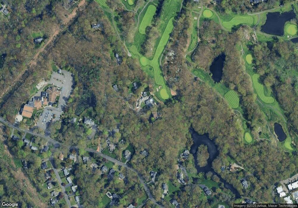
Map
Nearby Homes
- 192 Gillies Ln
- 11 Ledgebrook Dr Unit 11
- 10 Ledgebrook Dr Unit 1
- 29 Nash Place
- 41 Nash Place Unit B
- 75 N Taylor Ave
- 115 Fillow St Unit 78
- 153 Fillow St
- 150 Fillow St
- 34 Ferris Ave Unit A2
- 33 Glenwood Ave Unit 1
- 4 Senga Rd
- 14 Ferris Ave Unit 9
- 9 Frost St
- 8 Crown Ave
- 1 Douglas Dr
- 2 Finley St
- 17 Silk St
- 12 Sention Ave
- 5 Mcallister Ave
- 11 Yorkshire Rd
- 7 Yorkshire Rd
- 13 Yorkshire Rd
- 5 Yorkshire Rd
- 202 Scribner Ave
- 1 Yorkshire Rd
- 188 Scribner Ave
- 3 Yorkshire Rd
- 204 Scribner Ave
- 200 Scribner Ave
- 205 Scribner Ave
- 213 Scribner Ave
- 211 Scribner Ave
- 209 Scribner Ave
- 198 Scribner Ave
- 207 Scribner Ave
- 215 Scribner Ave
- 1 Imperial Dr
- 201 Scribner Ave
Your Personal Tour Guide
Ask me questions while you tour the home.