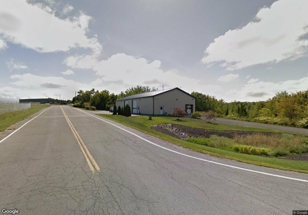
90 Airport Rd Waterville, ME 04901
--
Bed
--
Bath
5,000
Sq Ft
1.51
Acres
About This Home
This home is located at 90 Airport Rd, Waterville, ME 04901. 90 Airport Rd is a home located in Kennebec County with nearby schools including George J. Mitchell School, Albert S. Hall School, and Waterville Junior High School.
Ownership History
Date
Name
Owned For
Owner Type
Purchase Details
Closed on
Jul 23, 2021
Sold by
John J Wallingford Lt and Wallingford
Bought by
Lint Prop Llc
Home Financials for this Owner
Home Financials are based on the most recent Mortgage that was taken out on this home.
Original Mortgage
$1
Outstanding Balance
$1
Interest Rate
2.96%
Mortgage Type
Purchase Money Mortgage
Purchase Details
Closed on
Dec 31, 2009
Sold by
Hallowell James S
Bought by
John J Wallingford Lt and Wallingford
Purchase Details
Closed on
Jan 25, 2008
Sold by
Waterville City Of
Bought by
Hallowell James
Create a Home Valuation Report for This Property
The Home Valuation Report is an in-depth analysis detailing your home's value as well as a comparison with similar homes in the area
Home Values in the Area
Average Home Value in this Area
Purchase History
| Date | Buyer | Sale Price | Title Company |
|---|---|---|---|
| Lint Prop Llc | -- | None Available | |
| Lint Prop Llc | -- | None Available | |
| John J Wallingford Lt | -- | -- | |
| John J Wallingford Lt | -- | -- | |
| Hallowell James | $16,500 | -- | |
| Hallowell James | $16,500 | -- |
Source: Public Records
Mortgage History
| Date | Status | Borrower | Loan Amount |
|---|---|---|---|
| Open | Lint Prop Llc | $1 | |
| Closed | Lint Prop Llc | $0 |
Source: Public Records
Tax History Compared to Growth
Tax History
| Year | Tax Paid | Tax Assessment Tax Assessment Total Assessment is a certain percentage of the fair market value that is determined by local assessors to be the total taxable value of land and additions on the property. | Land | Improvement |
|---|---|---|---|---|
| 2024 | $4,848 | $242,400 | $60,900 | $181,500 |
| 2023 | $4,824 | $242,400 | $60,900 | $181,500 |
| 2022 | $3,164 | $122,400 | $23,500 | $98,900 |
| 2021 | $3,121 | $122,400 | $23,500 | $98,900 |
| 2020 | $3,153 | $122,400 | $23,500 | $98,900 |
| 2019 | $3,153 | $122,400 | $23,500 | $98,900 |
| 2018 | $3,093 | $122,400 | $23,500 | $98,900 |
| 2017 | $2,856 | $122,400 | $23,500 | $98,900 |
| 2016 | $2,791 | $122,400 | $23,500 | $98,900 |
| 2015 | $3,745 | $134,700 | $54,800 | $79,900 |
| 2014 | $3,691 | $134,700 | $54,800 | $79,900 |
| 2013 | $2,976 | $108,600 | $28,700 | $79,900 |
Source: Public Records
Map
Nearby Homes
- 115 Airport Rd
- 35 Meadow Dr
- 6 Fieldstone Dr
- Lot 10 Brodies Path
- Lot 9 Brodies Path
- Lot 5 Oak Forest Dr
- Lot 2 Oak Forest Dr
- Lot 8 Brodies Path
- 111 Evergreen Dr
- 851 Lincoln St
- 1 Bowie Ln
- 18 Village Green Cir
- 38 Webb Rd
- 28 Webb Rd
- 13 Lincoln Woods Ln
- 13 Junipers Ln Unit 6
- 30 Village Green Rd
- 114 Carver St
- 11 Amelia Ln
- 0 Webb Rd
- 1 Lafleur
- 100 Airport Rd
- 100-108 Airport Rd
- 131 Airport
- unk Airport Rd
- 110 Airport Rd
- 75 Airport Rd
- Lot #5 Airport Road Extension
- 120 Airport Rd
- 5 Lafluer Rd
- 125 Airport Rd
- 135 Airport Rd
- Lot #7 Airport Road Extension
- Lot #8 Airport Road Extension
- M25 L10 Airport Rd
- 60 Airport Rd
- 0 Airport Rd
- M25 L10 Airport Rd
- 56 Airport