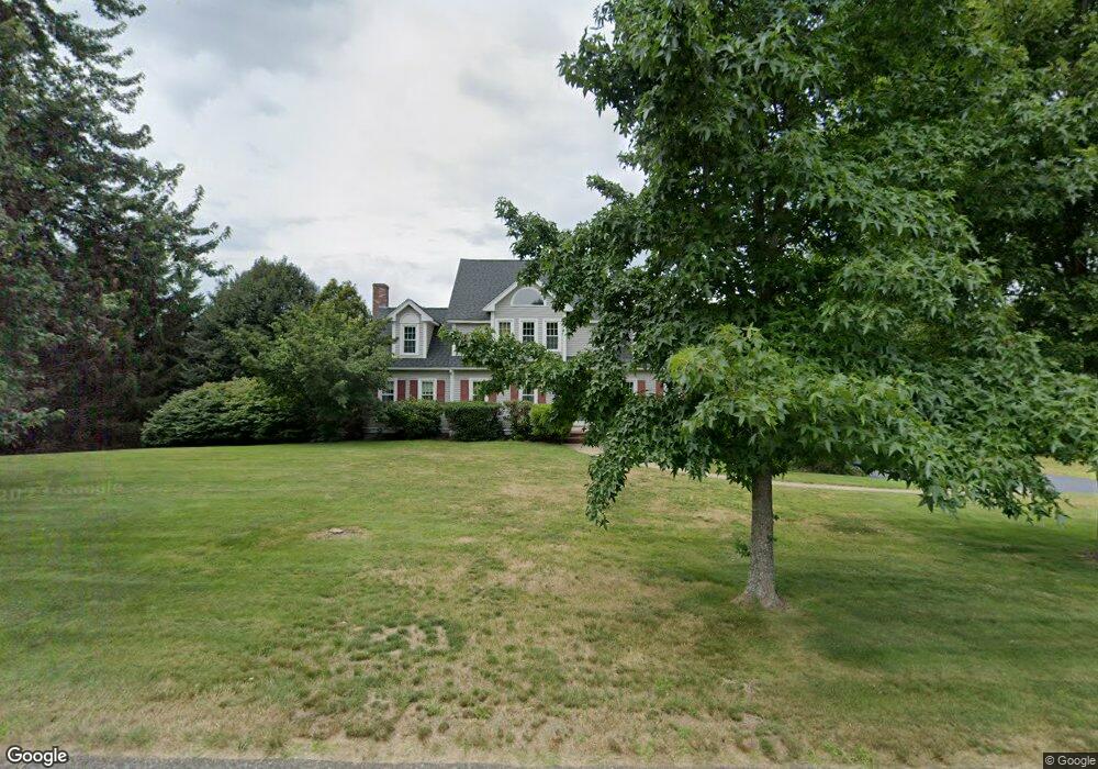
90 Autumn Rd Wrentham, MA 02093
West Wrentham NeighborhoodEstimated Value: $949,380 - $1,159,000
3
Beds
3
Baths
3,257
Sq Ft
$322/Sq Ft
Est. Value
About This Home
This home is located at 90 Autumn Rd, Wrentham, MA 02093 and is currently estimated at $1,049,095, approximately $322 per square foot. 90 Autumn Rd is a home located in Norfolk County with nearby schools including Delaney Elementary School, Charles E Roderick, and Mercymount Country Day School.
Ownership History
Date
Name
Owned For
Owner Type
Purchase Details
Closed on
Dec 30, 1993
Sold by
Bailey & Zahner Bldrs
Bought by
Garrity Peter E and Garrity Karen L
Current Estimated Value
Home Financials for this Owner
Home Financials are based on the most recent Mortgage that was taken out on this home.
Original Mortgage
$220,000
Interest Rate
7%
Mortgage Type
Purchase Money Mortgage
Create a Home Valuation Report for This Property
The Home Valuation Report is an in-depth analysis detailing your home's value as well as a comparison with similar homes in the area
Home Values in the Area
Average Home Value in this Area
Purchase History
| Date | Buyer | Sale Price | Title Company |
|---|---|---|---|
| Garrity Peter E | $254,000 | -- |
Source: Public Records
Mortgage History
| Date | Status | Borrower | Loan Amount |
|---|---|---|---|
| Open | Garrity Peter E | $115,000 | |
| Closed | Garrity Peter E | $115,000 | |
| Closed | Garrity Peter E | $156,482 | |
| Closed | Garrity Peter E | $220,000 |
Source: Public Records
Tax History Compared to Growth
Tax History
| Year | Tax Paid | Tax Assessment Tax Assessment Total Assessment is a certain percentage of the fair market value that is determined by local assessors to be the total taxable value of land and additions on the property. | Land | Improvement |
|---|---|---|---|---|
| 2025 | $9,418 | $812,600 | $290,800 | $521,800 |
| 2024 | $9,071 | $755,900 | $290,800 | $465,100 |
| 2023 | $9,103 | $721,300 | $264,700 | $456,600 |
| 2022 | $8,690 | $635,700 | $257,900 | $377,800 |
| 2021 | $8,443 | $600,100 | $241,200 | $358,900 |
| 2020 | $8,336 | $585,000 | $184,800 | $400,200 |
| 2019 | $7,972 | $564,600 | $184,800 | $379,800 |
| 2018 | $7,238 | $508,300 | $184,600 | $323,700 |
| 2017 | $7,041 | $494,100 | $181,000 | $313,100 |
| 2016 | $6,946 | $486,400 | $175,800 | $310,600 |
| 2015 | $6,922 | $462,100 | $169,000 | $293,100 |
| 2014 | $6,860 | $448,100 | $162,600 | $285,500 |
Source: Public Records
Map
Nearby Homes
- 60 Grant Ave
- 2095 West St
- 236 Williams St
- 50 Heather Ln
- 39 Sumner Brown Rd
- 25 Nature View Dr
- 180 Pine Swamp Rd
- 56 Pine Swamp Rd
- 20 Nature View Dr
- 9 Pebble Cir Unit 9
- 851 Washington St
- 17 Stanford Rd
- 65 Palmetto Dr Unit 65
- 219 Dawn Blvd
- 21 Palmetto Dr Unit 21
- 24 Palmetto Dr Unit 24
- 300 Tower Hill Rd
- 10 Stanford Rd
- 4022 Diamond Hill Rd
- 245 W Wrentham Rd
- 100 Autumn Rd
- 80 Autumn Rd
- 120 Comstock Dr
- 110 Autumn Rd
- 70 Autumn Rd
- 95 Autumn Rd
- 110 Comstock Dr
- 55 Miscoe Brook Dr
- 115 Comstock Dr
- 120 Autumn Rd
- 85 Autumn Rd
- 45 Miscoe Brook Dr
- 105 Comstock Dr
- 60 Miscoe Brook Dr
- 60 Autumn Rd
- 75 Autumn Rd
- 50 Miscoe Brook Dr
- 130 Autumn Rd
- 135 Autumn Rd
- 35 Miscoe Brook Dr