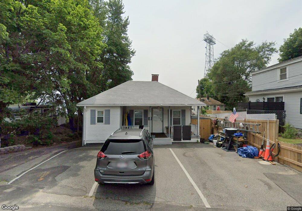
90 Bluff Rd North Weymouth, MA 02191
North Weymouth NeighborhoodEstimated Value: $433,000 - $558,000
3
Beds
1
Bath
782
Sq Ft
$610/Sq Ft
Est. Value
About This Home
This home is located at 90 Bluff Rd, North Weymouth, MA 02191 and is currently estimated at $477,155, approximately $610 per square foot. 90 Bluff Rd is a home located in Norfolk County with nearby schools including Wessagusset Elementary School, Abigail Adams Middle School, and Weymouth Middle School Chapman.
Ownership History
Date
Name
Owned For
Owner Type
Purchase Details
Closed on
Aug 31, 1999
Sold by
Tarbi Helen M
Bought by
Mckillop John E and Mckillop Mary E
Current Estimated Value
Home Financials for this Owner
Home Financials are based on the most recent Mortgage that was taken out on this home.
Original Mortgage
$123,978
Outstanding Balance
$35,937
Interest Rate
7.53%
Mortgage Type
Purchase Money Mortgage
Estimated Equity
$441,218
Purchase Details
Closed on
Jun 30, 1997
Sold by
Skellett Ethel V
Bought by
Tarbi Helen M
Create a Home Valuation Report for This Property
The Home Valuation Report is an in-depth analysis detailing your home's value as well as a comparison with similar homes in the area
Home Values in the Area
Average Home Value in this Area
Purchase History
| Date | Buyer | Sale Price | Title Company |
|---|---|---|---|
| Mckillop John E | $125,000 | -- | |
| Tarbi Helen M | $109,900 | -- |
Source: Public Records
Mortgage History
| Date | Status | Borrower | Loan Amount |
|---|---|---|---|
| Open | Tarbi Helen M | $25,000 | |
| Open | Tarbi Helen M | $123,978 | |
| Previous Owner | Tarbi Helen M | $108,129 |
Source: Public Records
Tax History
| Year | Tax Paid | Tax Assessment Tax Assessment Total Assessment is a certain percentage of the fair market value that is determined by local assessors to be the total taxable value of land and additions on the property. | Land | Improvement |
|---|---|---|---|---|
| 2025 | $4,467 | $442,300 | $215,200 | $227,100 |
| 2024 | $4,336 | $422,200 | $205,000 | $217,200 |
| 2023 | $4,178 | $399,800 | $189,800 | $210,000 |
| 2022 | $4,115 | $359,100 | $175,800 | $183,300 |
| 2021 | $3,709 | $315,900 | $175,800 | $140,100 |
| 2020 | $3,650 | $306,200 | $186,800 | $119,400 |
| 2019 | $3,934 | $324,600 | $211,300 | $113,300 |
| 2018 | $3,865 | $309,200 | $201,200 | $108,000 |
| 2017 | $3,511 | $274,100 | $172,500 | $101,600 |
| 2016 | $3,235 | $252,700 | $153,600 | $99,100 |
| 2015 | $3,185 | $246,900 | $153,600 | $93,300 |
| 2014 | $3,253 | $244,600 | $154,300 | $90,300 |
Source: Public Records
Map
Nearby Homes
- 104 Kings Cove Beach Rd
- 90 Sea St Unit 204
- 62 Lawn Ave
- 79 Bicknell St
- 6 Shore Dr
- 10 Hobamack Rd
- 70 Biscayne Ave
- 55 Blackstone Rd
- 585 Washington St Unit model-2
- 585 Washington St Unit model
- 237 North St Unit A
- 16 Beechwood Rd
- 25 W Howard St Unit C3
- 500 Washington St Unit 201
- 30 Skyline Dr Unit 6
- 10 Skyline Dr Unit 5
- 312 Shaw St
- 10 Marion Rd
- 200 Cove Way Unit 304
- 200 Cove Way Unit 614
Your Personal Tour Guide
Ask me questions while you tour the home.