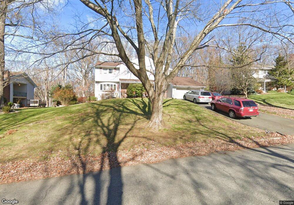
90 Brooklawn Dr Morris Plains, NJ 07950
Estimated Value: $739,156 - $841,000
--
Bed
--
Bath
2,328
Sq Ft
$346/Sq Ft
Est. Value
About This Home
This home is located at 90 Brooklawn Dr, Morris Plains, NJ 07950 and is currently estimated at $804,789, approximately $345 per square foot. 90 Brooklawn Dr is a home located in Morris County with nearby schools including Mount Tabor School, Brooklawn Middle School, and Parsippany Hills High School.
Ownership History
Date
Name
Owned For
Owner Type
Purchase Details
Closed on
Jun 15, 2006
Sold by
Cartus Relocation Corp
Bought by
Venkattramani Srinivassan and Vaenkattramani Durga
Current Estimated Value
Home Financials for this Owner
Home Financials are based on the most recent Mortgage that was taken out on this home.
Original Mortgage
$416,624
Outstanding Balance
$246,309
Interest Rate
6.67%
Estimated Equity
$558,480
Purchase Details
Closed on
Apr 9, 2006
Sold by
Rozansky Richard
Bought by
Cendant Mobility Relocation Co
Purchase Details
Closed on
Dec 9, 1993
Sold by
Ginna William
Bought by
Rozansky Richard and Rozansky Donna
Home Financials for this Owner
Home Financials are based on the most recent Mortgage that was taken out on this home.
Original Mortgage
$184,000
Interest Rate
6.78%
Create a Home Valuation Report for This Property
The Home Valuation Report is an in-depth analysis detailing your home's value as well as a comparison with similar homes in the area
Home Values in the Area
Average Home Value in this Area
Purchase History
| Date | Buyer | Sale Price | Title Company |
|---|---|---|---|
| Venkattramani Srinivassan | $567,500 | -- | |
| Cendant Mobility Relocation Co | $567,500 | -- | |
| Rozansky Richard | $230,000 | -- |
Source: Public Records
Mortgage History
| Date | Status | Borrower | Loan Amount |
|---|---|---|---|
| Open | Venkattramani Srinivassan | $416,624 | |
| Previous Owner | Rozansky Richard | $184,000 |
Source: Public Records
Tax History Compared to Growth
Tax History
| Year | Tax Paid | Tax Assessment Tax Assessment Total Assessment is a certain percentage of the fair market value that is determined by local assessors to be the total taxable value of land and additions on the property. | Land | Improvement |
|---|---|---|---|---|
| 2025 | $13,347 | $384,200 | $208,200 | $176,000 |
| 2024 | $13,094 | $384,200 | $208,200 | $176,000 |
| 2023 | $13,094 | $384,200 | $208,200 | $176,000 |
| 2022 | $12,183 | $384,200 | $208,200 | $176,000 |
| 2021 | $12,183 | $384,200 | $208,200 | $176,000 |
| 2020 | $11,849 | $384,200 | $208,200 | $176,000 |
| 2019 | $11,530 | $384,200 | $208,200 | $176,000 |
| 2018 | $11,203 | $384,200 | $208,200 | $176,000 |
| 2017 | $10,950 | $384,200 | $208,200 | $176,000 |
| 2016 | $10,761 | $384,200 | $208,200 | $176,000 |
| 2015 | $10,489 | $384,200 | $208,200 | $176,000 |
| 2014 | $10,335 | $384,200 | $208,200 | $176,000 |
Source: Public Records
Map
Nearby Homes
- 21 Holly Dr
- 711 Park Rd
- 1 Ironwood Dr
- 20 Whitewood Dr
- 62 Brookstone Cir
- 34 Moraine Rd
- 9 Craydon St
- 35 Ferncliff Rd
- 1035 Littleton Rd
- 2350 State Route 10 Unit D11
- 78 North Place
- 32 Fletcher Place
- 35 Oakdale Rd
- 29 Whitfield Place
- 2 Castaby Way
- 15 Force Place
- 26 Wesley Place
- 91 Farmingdale Dr
- 1466 Tabor Rd
- 158 Fieldcrest Rd