90 City Depot Rd Unit a & b Charlton, MA 01507
Estimated Value: $908,111 - $968,000
4
Beds
5
Baths
3,252
Sq Ft
$288/Sq Ft
Est. Value
About This Home
This home is located at 90 City Depot Rd Unit a & b, Charlton, MA 01507 and is currently estimated at $936,278, approximately $287 per square foot. 90 City Depot Rd Unit a & b is a home located in Worcester County with nearby schools including Shepherd Hill Regional High School.
Ownership History
Date
Name
Owned For
Owner Type
Purchase Details
Closed on
Oct 19, 2022
Sold by
Bean Kevin P
Bought by
Yurach Dana and Cormier Sylvain
Current Estimated Value
Purchase Details
Closed on
Jun 28, 2007
Sold by
Bean Kevin P and Bonzey Tricia A
Bought by
Bean Kevin P
Purchase Details
Closed on
Aug 25, 2003
Sold by
Bean Kevin P
Bought by
Mass Electric Co and Verizon Ne Inc
Purchase Details
Closed on
Jul 1, 2002
Sold by
Mortensen Richard A
Bought by
Bean Kevin P
Create a Home Valuation Report for This Property
The Home Valuation Report is an in-depth analysis detailing your home's value as well as a comparison with similar homes in the area
Home Values in the Area
Average Home Value in this Area
Purchase History
| Date | Buyer | Sale Price | Title Company |
|---|---|---|---|
| Yurach Dana | $751,000 | None Available | |
| Yurach Dana | $751,000 | None Available | |
| Bean Kevin P | -- | -- | |
| Bean Kevin P | -- | -- | |
| Mass Electric Co | -- | -- | |
| Mass Electric Co | -- | -- | |
| Bean Kevin P | $75,000 | -- | |
| Bean Kevin P | $75,000 | -- |
Source: Public Records
Tax History Compared to Growth
Tax History
| Year | Tax Paid | Tax Assessment Tax Assessment Total Assessment is a certain percentage of the fair market value that is determined by local assessors to be the total taxable value of land and additions on the property. | Land | Improvement |
|---|---|---|---|---|
| 2025 | $9,512 | $854,600 | $126,300 | $728,300 |
| 2024 | $8,449 | $745,100 | $121,100 | $624,000 |
| 2023 | $6,721 | $552,300 | $105,200 | $447,100 |
| 2022 | $6,656 | $500,800 | $99,700 | $401,100 |
| 2021 | $6,577 | $438,200 | $97,900 | $340,300 |
| 2020 | $6,457 | $432,200 | $91,900 | $340,300 |
| 2019 | $6,384 | $432,200 | $91,900 | $340,300 |
| 2018 | $5,835 | $432,200 | $91,900 | $340,300 |
| 2017 | $6,038 | $428,200 | $85,900 | $342,300 |
| 2016 | $5,330 | $386,800 | $85,900 | $300,900 |
| 2015 | $5,191 | $386,800 | $85,900 | $300,900 |
| 2014 | $4,883 | $385,700 | $90,200 | $295,500 |
Source: Public Records
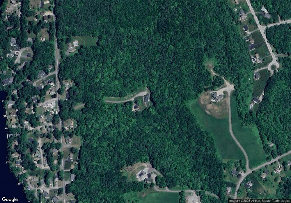
Map
Nearby Homes
- 38 Stevens Park Rd
- 208 Sunset Dr
- 199 Center Depot Rd
- 7 Little Muggett Rd
- 102 Worcester Rd
- 0 Trolley Crossing Rd
- 5 Carpenter Hill Rd
- 0 Worcester Rd
- Lot 3 0 N Sullivan Rd
- Lot 6 0 N Sullivan Rd
- Lot 5 0 N Sullivan Rd
- Lot 4 0 N Sullivan Rd
- 25 N Main St Unit A
- 9 Knollwood Dr
- 28 Southbridge Rd Unit 402
- Lot 0 N Sturbridge Rd
- 38 N Sullivan Rd
- 5 Northside Rd
- 8 Northside Rd
- 45 Jennings Rd
- 90 City Depot Rd
- 88 City Depot Rd
- 92 City Depot Rd
- 92 City Depot Rd
- 92 City Depot Rd Unit 92
- 94 City Depot Rd
- 45 J Davis Rd
- 84 City Depot Rd
- 82 City Depot Rd
- 3 Highland Ave
- 102 City Depot Rd
- 18 Highland Ave
- 2 Highland Ave
- 85 City Depot Rd
- 78 City Depot Rd
- 7 Highland Ave
- 94 Lakeview Dr
- 6 Grandview Ave
- 83 City Depot Rd
- 7 Grandview Ave