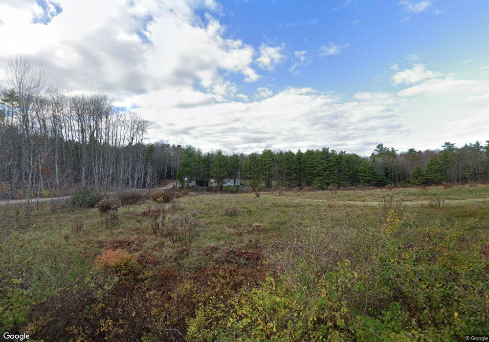
90 Dennett Rd Hollis Center, ME 04042
Hollis NeighborhoodEstimated Value: $324,000 - $533,000
--
Bed
--
Bath
--
Sq Ft
4
Acres
About This Home
This home is located at 90 Dennett Rd, Hollis Center, ME 04042 and is currently estimated at $424,174. 90 Dennett Rd is a home with nearby schools including Bonny Eagle High School.
Ownership History
Date
Name
Owned For
Owner Type
Purchase Details
Closed on
Nov 20, 2018
Sold by
Toomey Tina E
Bought by
Poitras James and Nolette Kayla J
Current Estimated Value
Purchase Details
Closed on
Jul 18, 2016
Sold by
Toomey Tina E
Bought by
Fowler Roy K and Lewis Janell L
Home Financials for this Owner
Home Financials are based on the most recent Mortgage that was taken out on this home.
Original Mortgage
$274,500
Interest Rate
3.66%
Mortgage Type
New Conventional
Purchase Details
Closed on
Mar 10, 2016
Sold by
Bares Olga
Bought by
Toomey Tina E
Create a Home Valuation Report for This Property
The Home Valuation Report is an in-depth analysis detailing your home's value as well as a comparison with similar homes in the area
Home Values in the Area
Average Home Value in this Area
Purchase History
| Date | Buyer | Sale Price | Title Company |
|---|---|---|---|
| Poitras James | -- | -- | |
| Fowler Roy K | -- | -- | |
| Toomey Tina E | -- | -- | |
| Poitras James | -- | -- | |
| Fowler Roy K | -- | -- |
Source: Public Records
Mortgage History
| Date | Status | Borrower | Loan Amount |
|---|---|---|---|
| Previous Owner | Fowler Roy K | $274,500 |
Source: Public Records
Tax History Compared to Growth
Tax History
| Year | Tax Paid | Tax Assessment Tax Assessment Total Assessment is a certain percentage of the fair market value that is determined by local assessors to be the total taxable value of land and additions on the property. | Land | Improvement |
|---|---|---|---|---|
| 2024 | $2,908 | $193,882 | $68,500 | $125,382 |
| 2023 | $1,132 | $78,060 | $78,060 | $0 |
| 2022 | $1,171 | $78,060 | $78,060 | $0 |
| 2021 | $1,112 | $78,060 | $78,060 | $0 |
| 2020 | $1,093 | $78,060 | $78,060 | $0 |
| 2019 | $1,073 | $78,060 | $78,060 | $0 |
| 2018 | $681 | $51,410 | $51,410 | $0 |
| 2017 | $643 | $51,410 | $51,410 | $0 |
| 2016 | $3,026 | $253,180 | $89,110 | $164,070 |
| 2015 | $3,026 | $253,180 | $89,110 | $164,070 |
| 2014 | $2,912 | $253,180 | $89,110 | $164,070 |
| 2013 | $2,785 | $253,180 | $89,110 | $164,070 |
Source: Public Records
Map
Nearby Homes
- 96 Dennett Rd
- 112 Dennett Rd
- 97 Dennett Rd
- 95 Dennett Rd
- 93 Dennett Rd
- 106 Sughrue Ln
- 109 Sughrue Ln
- 57 Dennett Rd
- TBD Dennett Rd
- 78 Dennett Rd
- 50 Dennett Rd
- 46A Dennett Rd
- 46 Dennett Rd
- 103 Sughrue Ln
- 120 Little Falls Rd
- 34 Old Alfred Rd
- 107 Sughrue Ln
- 127 Little Falls Rd
- 145 Little Falls Rd
- 23 Rich Ln