90 Fisher St Westborough, MA 01581
Estimated Value: $517,000 - $584,000
3
Beds
1
Bath
1,258
Sq Ft
$441/Sq Ft
Est. Value
About This Home
This home is located at 90 Fisher St, Westborough, MA 01581 and is currently estimated at $554,800, approximately $441 per square foot. 90 Fisher St is a home located in Worcester County with nearby schools including Westborough High School, Ebridge Montessori School, and Westboro Knowledge Beginnings.
Ownership History
Date
Name
Owned For
Owner Type
Purchase Details
Closed on
May 19, 2025
Sold by
Cullen Brien A and Cullen Mary M
Bought by
Cullen Brien A and Cullen Mary M
Current Estimated Value
Purchase Details
Closed on
May 30, 1985
Bought by
Cullen Brian A and Cullen Mary M
Create a Home Valuation Report for This Property
The Home Valuation Report is an in-depth analysis detailing your home's value as well as a comparison with similar homes in the area
Home Values in the Area
Average Home Value in this Area
Purchase History
| Date | Buyer | Sale Price | Title Company |
|---|---|---|---|
| Cullen Brien A | -- | None Available | |
| Cullen Brien A | -- | None Available | |
| Cullen Brian A | -- | -- |
Source: Public Records
Mortgage History
| Date | Status | Borrower | Loan Amount |
|---|---|---|---|
| Previous Owner | Cullen Brian A | $220,000 | |
| Previous Owner | Cullen Brian A | $185,500 |
Source: Public Records
Tax History Compared to Growth
Tax History
| Year | Tax Paid | Tax Assessment Tax Assessment Total Assessment is a certain percentage of the fair market value that is determined by local assessors to be the total taxable value of land and additions on the property. | Land | Improvement |
|---|---|---|---|---|
| 2025 | $7,902 | $485,100 | $325,600 | $159,500 |
| 2024 | $7,490 | $456,400 | $302,800 | $153,600 |
| 2023 | $7,071 | $419,900 | $287,000 | $132,900 |
| 2022 | $6,619 | $358,000 | $228,100 | $129,900 |
| 2021 | $6,211 | $335,000 | $203,200 | $131,800 |
| 2020 | $4,535 | $338,900 | $211,500 | $127,400 |
| 2019 | $5,842 | $318,700 | $211,500 | $107,200 |
| 2018 | $3,032 | $284,000 | $197,000 | $87,000 |
| 2017 | $1,482 | $285,200 | $197,000 | $88,200 |
| 2016 | $5,155 | $290,100 | $186,600 | $103,500 |
| 2015 | $5,330 | $286,700 | $186,600 | $100,100 |
Source: Public Records
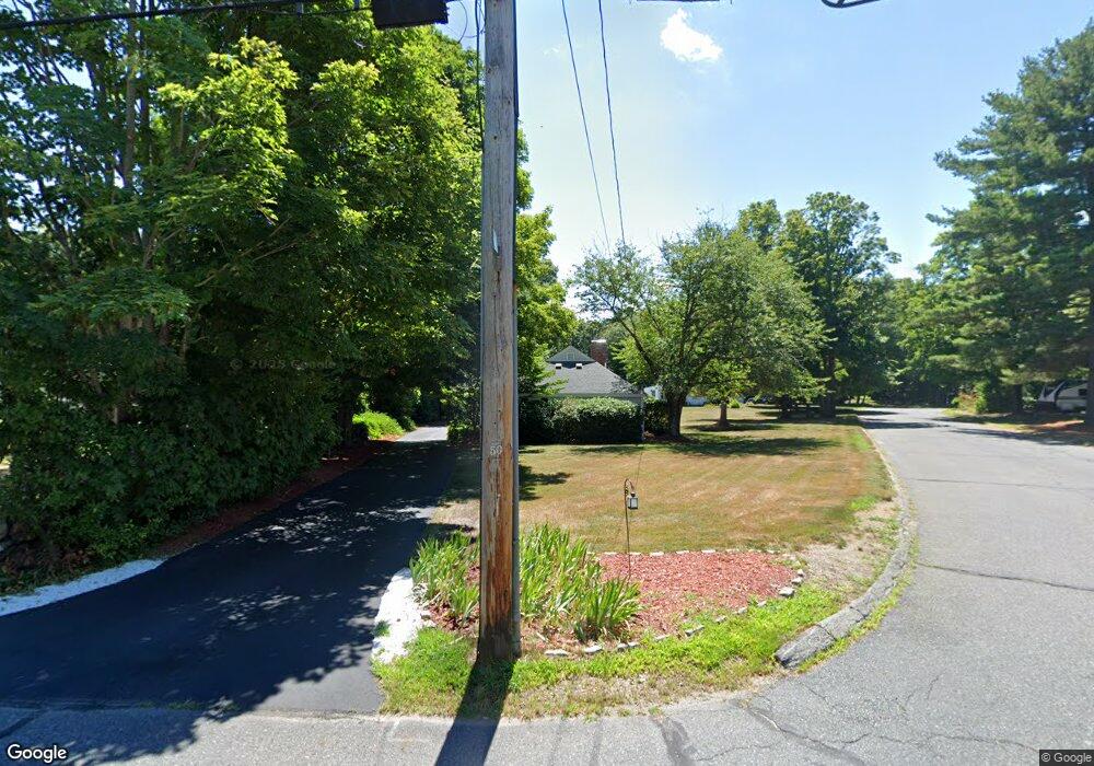
Map
Nearby Homes
- 16 Daania Dr Unit 16
- 17 Olde Hickory Path
- Lot 1 Beeton Path
- 19 Fisher St
- 49 Arch St Unit 2
- 30 Old Nourse St
- 6 Folly Ln
- 14 Nourse St
- 10 Linda St
- 30 Arch St
- 147 Milk St Unit 8
- 155 Milk St Unit 27
- 155 Milk St Unit 26
- 8 Arch St
- 7 Jennings Rd
- 43 Church St
- 52 Treetop Park Unit 52
- 9 Shaker Way
- 71 Nourse St
- 457 Walnut St
- 88 Fisher St
- 1 Whippletree Ln
- 92 Fisher St
- 86 Fisher St
- 85 Fisher St
- 3 Whippletree Ln
- 83 Fisher St
- 2 Whippletree Ln
- 87 Fisher St
- 81 Fisher St
- 94 Fisher St
- 84 Fisher St
- 89 Fisher St
- LOT 35 Gable Ridge Rd
- LOTC6 Thomas Newton Dr
- LOT 3 Harvest Way
- LOT 31 Gable Ridge Rd
- LOT 23 Gable Ridge Rd (Lot 23
- LOT 31 Gable Ridge Rd(lot 31)
- L 64 Piccadilly