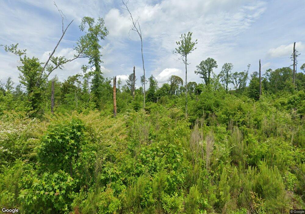
90 Kendall Dr Griffin, GA 30224
Spalding County NeighborhoodEstimated Value: $35,857 - $60,000
--
Bed
--
Bath
--
Sq Ft
2.5
Acres
About This Home
This home is located at 90 Kendall Dr, Griffin, GA 30224 and is currently estimated at $46,619. 90 Kendall Dr is a home located in Spalding County with nearby schools including Moreland Road Elementary School, Carver Road Middle School, and Griffin High School.
Ownership History
Date
Name
Owned For
Owner Type
Purchase Details
Closed on
Mar 4, 2011
Sold by
Lovett Charles
Bought by
Driver Robin
Current Estimated Value
Purchase Details
Closed on
Sep 25, 1998
Sold by
Davis Lucy M
Bought by
Lovett Charles and Lovett Ester
Home Financials for this Owner
Home Financials are based on the most recent Mortgage that was taken out on this home.
Original Mortgage
$6,392
Interest Rate
6.96%
Mortgage Type
New Conventional
Purchase Details
Closed on
Dec 1, 1981
Sold by
Piercy Nadine
Bought by
Davis Lucy Mae
Create a Home Valuation Report for This Property
The Home Valuation Report is an in-depth analysis detailing your home's value as well as a comparison with similar homes in the area
Home Values in the Area
Average Home Value in this Area
Purchase History
| Date | Buyer | Sale Price | Title Company |
|---|---|---|---|
| Driver Robin | -- | -- | |
| Lovett Charles | $6,000 | -- | |
| Davis Lucy Mae | -- | -- | |
| Pierce Nadine | -- | -- |
Source: Public Records
Mortgage History
| Date | Status | Borrower | Loan Amount |
|---|---|---|---|
| Previous Owner | Lovett Charles | $6,392 |
Source: Public Records
Tax History Compared to Growth
Tax History
| Year | Tax Paid | Tax Assessment Tax Assessment Total Assessment is a certain percentage of the fair market value that is determined by local assessors to be the total taxable value of land and additions on the property. | Land | Improvement |
|---|---|---|---|---|
| 2024 | $286 | $7,980 | $7,980 | $0 |
| 2023 | $290 | $7,980 | $7,980 | $0 |
| 2022 | $251 | $6,916 | $6,916 | $0 |
| 2021 | $251 | $6,916 | $6,916 | $0 |
| 2020 | $252 | $6,916 | $6,916 | $0 |
| 2019 | $257 | $6,916 | $6,916 | $0 |
| 2018 | $264 | $6,916 | $6,916 | $0 |
| 2017 | $257 | $6,916 | $6,916 | $0 |
| 2016 | $262 | $6,916 | $6,916 | $0 |
| 2015 | $216 | $5,533 | $5,533 | $0 |
| 2014 | $234 | $6,916 | $6,916 | $0 |
Source: Public Records
Map
Nearby Homes
- 90 & 212 Kendall Dr
- 127 Canaan Ct
- 0 Newnan Rd Unit 10550410
- 329 Maloy Rd
- 502 N Rover Rd
- 103 Jacqueline Dr
- 474 N Rover Rd
- 0 Maloy Rd Unit 7407276
- 0 Maloy Rd Unit 10322485
- 118 Jacqueline Dr
- 3890 Newnan Rd
- 120 Delray Cir Unit 2
- 3861 Newnan Rd
- 145 Wilder Way
- 1851 Abbey Rd
- 128 Wilder Way
- 1838 Abbey Rd
- 1818 Abbey Rd
- 121 Wilder Way
- 200 Ac W Ellis Rd
- 92 Kendall Dr
- 204 Kendall Dr
- 212 Kendall Dr
- 196 Kendall Dr
- 188 Kendall Dr
- 220 Kendall Dr
- 228 Kendall Dr
- 94 Kendall Dr
- 211 Kendall Dr
- 195 Kendall Dr
- 30 Kendall Dr
- 30 Kendall Dr Unit 14
- 219 Kendall Dr
- 203 Kendall Dr
- 227 Kendall Dr
- 185 Kendall Dr
- 23 & 15 South Rd
- 12 Horton Rd
- 172 Kendall Dr
- 15 South Rd
