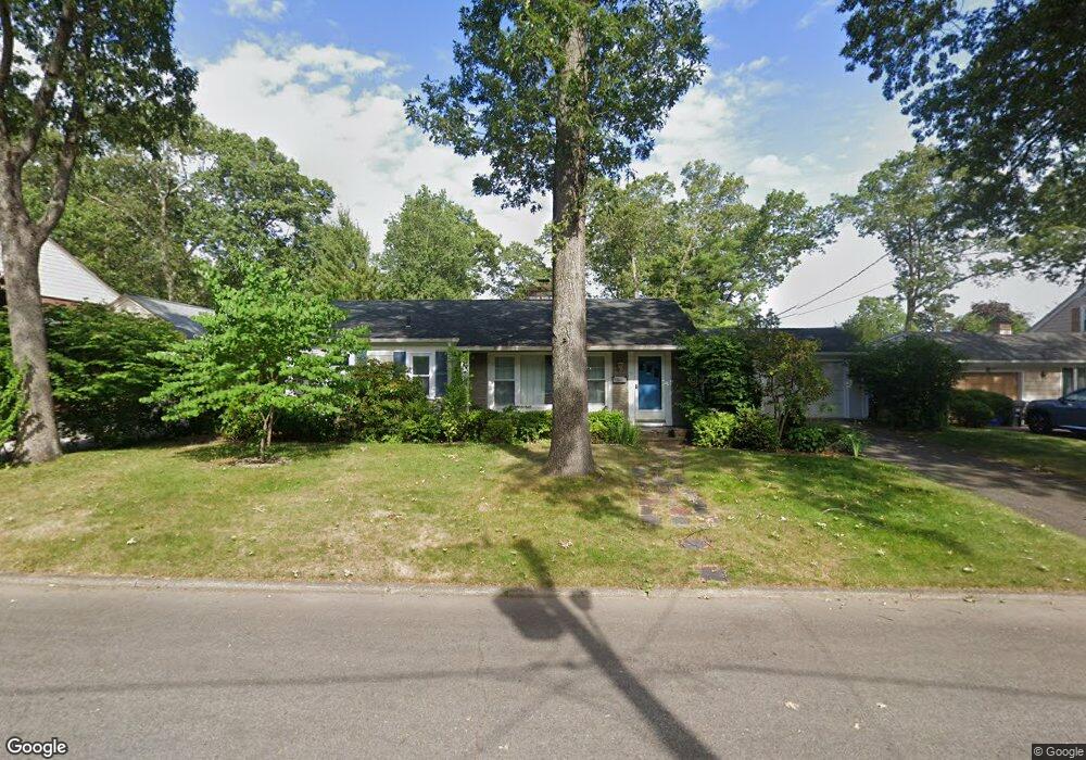
90 King Philip Rd Pawtucket, RI 02861
Darlington NeighborhoodEstimated Value: $485,000 - $651,000
3
Beds
2
Baths
1,666
Sq Ft
$346/Sq Ft
Est. Value
About This Home
This home is located at 90 King Philip Rd, Pawtucket, RI 02861 and is currently estimated at $576,719, approximately $346 per square foot. 90 King Philip Rd is a home located in Providence County with nearby schools including St Cecilia School and Saint Teresa Catholic Elementary School.
Ownership History
Date
Name
Owned For
Owner Type
Purchase Details
Closed on
May 30, 2025
Sold by
Donahue Alan R
Bought by
Alan R Donahue Ret and Donahue
Current Estimated Value
Purchase Details
Closed on
Mar 31, 2021
Sold by
W S Donahue Jr Lt
Bought by
Donahue Alan R
Purchase Details
Closed on
Nov 25, 2013
Sold by
Donahue Walter S and Donahue Lillian K
Bought by
Lillian Donahue Lt
Create a Home Valuation Report for This Property
The Home Valuation Report is an in-depth analysis detailing your home's value as well as a comparison with similar homes in the area
Home Values in the Area
Average Home Value in this Area
Purchase History
| Date | Buyer | Sale Price | Title Company |
|---|---|---|---|
| Alan R Donahue Ret | -- | None Available | |
| Alan R Donahue Ret | -- | None Available | |
| Donahue Alan R | -- | None Available | |
| Donahue Alan R | -- | None Available | |
| Lillian Donahue Lt | -- | -- | |
| Lillian Donahue Lt | -- | -- |
Source: Public Records
Tax History Compared to Growth
Tax History
| Year | Tax Paid | Tax Assessment Tax Assessment Total Assessment is a certain percentage of the fair market value that is determined by local assessors to be the total taxable value of land and additions on the property. | Land | Improvement |
|---|---|---|---|---|
| 2024 | $4,825 | $391,000 | $150,600 | $240,400 |
| 2023 | $5,209 | $307,500 | $115,100 | $192,400 |
| 2022 | $5,098 | $307,500 | $115,100 | $192,400 |
| 2021 | $5,098 | $307,500 | $115,100 | $192,400 |
| 2020 | $5,164 | $247,200 | $107,900 | $139,300 |
| 2019 | $5,164 | $247,200 | $107,900 | $139,300 |
| 2018 | $4,976 | $247,200 | $107,900 | $139,300 |
| 2017 | $5,171 | $227,600 | $101,800 | $125,800 |
| 2016 | $4,982 | $227,600 | $101,800 | $125,800 |
| 2015 | $4,982 | $227,600 | $101,800 | $125,800 |
| 2014 | $4,529 | $196,400 | $89,100 | $107,300 |
Source: Public Records
Map
Nearby Homes
- 245 Manton St
- 245 Manton St Unit 83
- 242 St
- 242 Manton #41 St
- 91 Seabiscuit Place
- 1150 Newman Ave
- 87 Baker St
- 63 Whirlaway Place
- 618 Armistice Blvd
- 400 Newport Ave
- 104 Crescent Rd
- 95 Federal St
- 728 Beverage Hill Ave Unit 24
- 66 1st St
- 724 Beverage Hill Ave Unit 302
- 329 Pullen Ave
- 252 Williston Way
- 38 Lowell Ave
- 24 State St
- 16 Edgemere Rd
- 96 King Philip Rd
- 84 King Philip Rd
- 85 Anawan Rd
- 34 Narragansett Ave
- 101 King Philip Rd
- 85 King Philip Rd
- 78 King Philip Rd
- 100 King Philip Rd
- 81 Anawan Rd
- 107 King Philip Rd
- 77 King Philip Rd
- 90 Anawan Rd
- 96 Alexander Mcgregor Rd
- 72 King Philip Rd
- 46 Narragansett Ave
- 90 Alexander Mcgregor Rd
- 71 Anawan Rd
- 80 Anawan Rd
- 110 Alexander Mcgregor Rd
- 80 Alexander Mcgregor Rd