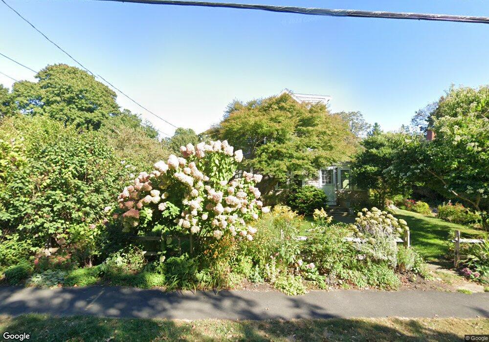
90 King St Falmouth, MA 02540
Falmouth Village NeighborhoodEstimated Value: $1,203,118 - $1,511,000
4
Beds
3
Baths
2,272
Sq Ft
$590/Sq Ft
Est. Value
About This Home
This home is located at 90 King St, Falmouth, MA 02540 and is currently estimated at $1,340,280, approximately $589 per square foot. 90 King St is a home located in Barnstable County with nearby schools including Mullen-Hall School, Lawrence School, and Morse Pond School.
Ownership History
Date
Name
Owned For
Owner Type
Purchase Details
Closed on
Feb 6, 2008
Sold by
Buchanan Maria C
Bought by
Josole Rt and Buchanan
Current Estimated Value
Purchase Details
Closed on
Apr 22, 1992
Sold by
Angelis Frank and Angelis Therese
Bought by
Buchanan Mark D and Buchanan Maria
Create a Home Valuation Report for This Property
The Home Valuation Report is an in-depth analysis detailing your home's value as well as a comparison with similar homes in the area
Home Values in the Area
Average Home Value in this Area
Purchase History
| Date | Buyer | Sale Price | Title Company |
|---|---|---|---|
| Josole Rt | -- | -- | |
| Josole Rt | -- | -- | |
| Buchanan Mark D | $100,000 | -- | |
| Buchanan Mark D | $100,000 | -- |
Source: Public Records
Mortgage History
| Date | Status | Borrower | Loan Amount |
|---|---|---|---|
| Previous Owner | Buchanan Mark D | $247,000 | |
| Previous Owner | Buchanan Mark D | $199,000 | |
| Previous Owner | Buchanan Mark D | $165,000 |
Source: Public Records
Tax History Compared to Growth
Tax History
| Year | Tax Paid | Tax Assessment Tax Assessment Total Assessment is a certain percentage of the fair market value that is determined by local assessors to be the total taxable value of land and additions on the property. | Land | Improvement |
|---|---|---|---|---|
| 2025 | $5,114 | $871,200 | $325,300 | $545,900 |
| 2024 | $4,986 | $794,000 | $295,700 | $498,300 |
| 2023 | $5,015 | $724,700 | $295,700 | $429,000 |
| 2022 | $4,964 | $616,600 | $269,700 | $346,900 |
| 2021 | $4,766 | $560,700 | $257,900 | $302,800 |
| 2020 | $4,615 | $537,300 | $234,500 | $302,800 |
| 2019 | $4,536 | $529,900 | $234,500 | $295,400 |
| 2018 | $4,422 | $514,200 | $234,500 | $279,700 |
| 2017 | $4,285 | $502,300 | $234,500 | $267,800 |
| 2016 | $4,204 | $502,300 | $234,500 | $267,800 |
| 2015 | $4,114 | $502,300 | $234,500 | $267,800 |
| 2014 | $4,013 | $492,400 | $234,500 | $257,900 |
Source: Public Records
Map
Nearby Homes
- 480 Main St Unit 1
- 65 Walker St
- 253 Scranton Ave
- 110 Dillingham Ave Unit 322
- 110 Dillingham Ave Unit 224
- 98 Main St
- 98 Main St Unit 1
- 71 Main St
- 30 Katherine Lee Bates Rd
- 55 Jericho Path
- 33 Oakwood Ave
- 9 Fairmount Ave Unit 1
- 9 Fairmount Ave
- 22 Alma Rd
- 286 Grand Ave Unit 6
- 286 Grand Ave Unit 8
- 286 Grand Ave Unit 4
- 15 Hedge Ln
- 354 Gifford St Unit 5
- 354 Gifford St Unit 2