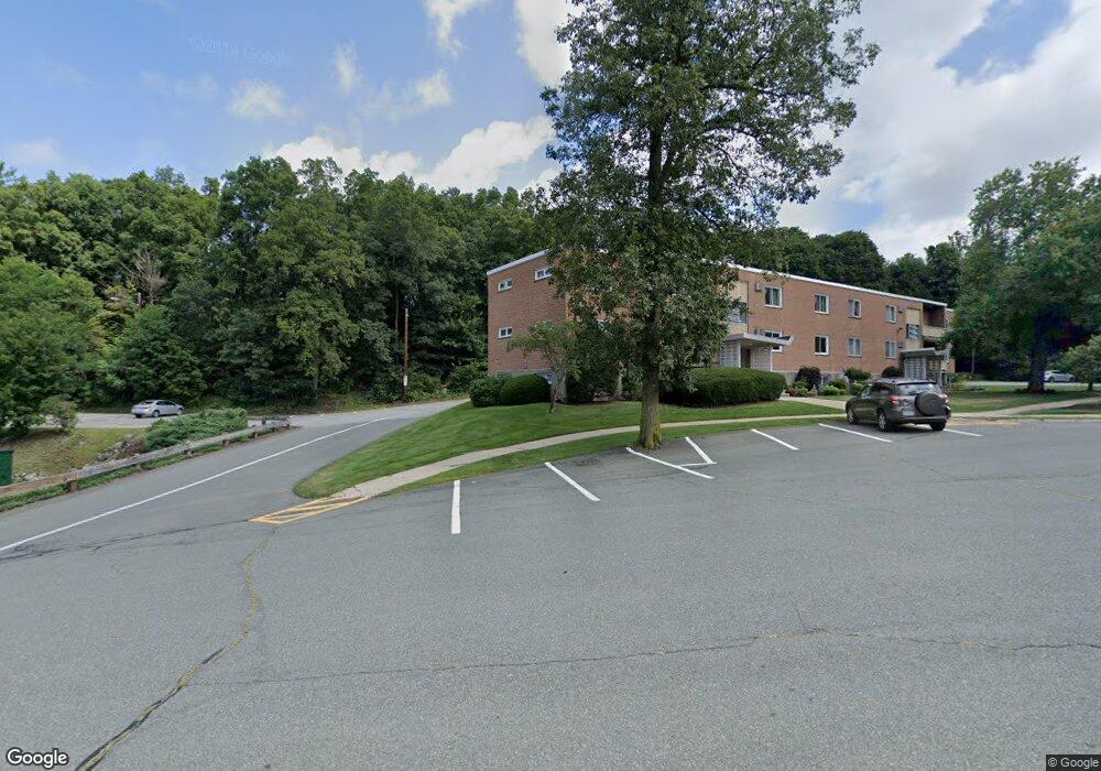
90 Lionel Ave Unit B Waltham, MA 02452
North Waltham NeighborhoodEstimated Value: $254,212 - $340,000
1
Bed
1
Bath
450
Sq Ft
$686/Sq Ft
Est. Value
About This Home
This home is located at 90 Lionel Ave Unit B, Waltham, MA 02452 and is currently estimated at $308,803, approximately $686 per square foot. 90 Lionel Ave Unit B is a home located in Middlesex County with nearby schools including Northeast Elementary School, John F Kennedy Middle School, and Waltham Sr High School.
Ownership History
Date
Name
Owned For
Owner Type
Purchase Details
Closed on
Apr 16, 2003
Sold by
Est Dunn Deborah V and Dunn Brian
Bought by
Aucoin Donald
Current Estimated Value
Purchase Details
Closed on
Apr 1, 1998
Sold by
Bergeron Ronald R
Bought by
Dunn Deborah V
Home Financials for this Owner
Home Financials are based on the most recent Mortgage that was taken out on this home.
Original Mortgage
$47,000
Interest Rate
6.89%
Mortgage Type
Purchase Money Mortgage
Create a Home Valuation Report for This Property
The Home Valuation Report is an in-depth analysis detailing your home's value as well as a comparison with similar homes in the area
Home Values in the Area
Average Home Value in this Area
Purchase History
| Date | Buyer | Sale Price | Title Company |
|---|---|---|---|
| Aucoin Donald | $140,000 | -- | |
| Dunn Deborah V | $67,000 | -- |
Source: Public Records
Mortgage History
| Date | Status | Borrower | Loan Amount |
|---|---|---|---|
| Previous Owner | Dunn Deborah V | $47,000 |
Source: Public Records
Tax History Compared to Growth
Tax History
| Year | Tax Paid | Tax Assessment Tax Assessment Total Assessment is a certain percentage of the fair market value that is determined by local assessors to be the total taxable value of land and additions on the property. | Land | Improvement |
|---|---|---|---|---|
| 2025 | $2,153 | $219,200 | $0 | $219,200 |
| 2024 | $2,071 | $214,800 | $0 | $214,800 |
| 2023 | $2,087 | $202,200 | $0 | $202,200 |
| 2022 | $2,232 | $200,400 | $0 | $200,400 |
| 2021 | $2,127 | $187,900 | $0 | $187,900 |
| 2020 | $2,171 | $181,700 | $0 | $181,700 |
| 2019 | $2,213 | $174,800 | $0 | $174,800 |
| 2018 | $2,011 | $159,500 | $0 | $159,500 |
| 2017 | $1,869 | $148,800 | $0 | $148,800 |
| 2016 | $1,821 | $148,800 | $0 | $148,800 |
| 2015 | $1,597 | $121,600 | $0 | $121,600 |
Source: Public Records
Map
Nearby Homes
- 170 Clocktower Dr Unit 5103
- 1105 Lexington St Unit 9-2
- 30 Wampum Ave
- 129 Lake St
- 133 Lake St
- 55 Circle Dr
- 65 Woburn St
- 28 College Farm Rd Unit 2
- 194 College Farm Rd
- 97 Harrington Rd
- 116 Raffaele Dr
- 65 Montclair Ave
- 44 Sachem St
- 234 Lake St
- 249 Lake St
- 28 Hillcrest St
- 98 Seminole Ave
- 70 Rosewood Dr
- 5 April Ln Unit 12
- 463 Lincoln St
- 96 Lionel Ave Unit E
- 96 Lionel Ave Unit D
- 96 Lionel Ave Unit C
- 96 Lionel Ave Unit B
- 96 Lionel Ave Unit A
- 90 Lionel Ave Unit F
- 90 Lionel Ave Unit E
- 90 Lionel Ave Unit D
- 90 Lionel Ave Unit C
- 90 Lionel Ave Unit A
- 96 Lionel Ave Unit 6
- 90 Lionel Ave Unit E,90
- 90 Lionel Ave Unit B,90
- 90 Lionel Ave Unit C,90
- 96 Lionel Ave Unit A96
- 90 Lionel Ave Unit 90B
- 56 Jacqueline Rd Unit 11
- 56 Jacqueline Rd Unit 10
- 56 Jacqueline Rd Unit 9
- 56 Jacqueline Rd Unit 8