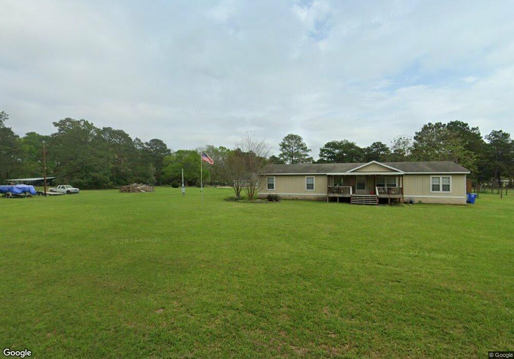
90 Manuel Rd Shepherd, TX 77371
Estimated Value: $240,351 - $493,000
4
Beds
2
Baths
2,160
Sq Ft
$156/Sq Ft
Est. Value
About This Home
This home is located at 90 Manuel Rd, Shepherd, TX 77371 and is currently estimated at $336,450, approximately $155 per square foot. 90 Manuel Rd is a home located in San Jacinto County with nearby schools including Shepherd Primary School, Shepherd Intermediate School, and Shepherd Middle School.
Ownership History
Date
Name
Owned For
Owner Type
Purchase Details
Closed on
Nov 24, 2025
Sold by
Perkins Michelle and Perkins Kevin
Bought by
Riddick Andrew Keith and Piazza Michele
Current Estimated Value
Home Financials for this Owner
Home Financials are based on the most recent Mortgage that was taken out on this home.
Original Mortgage
$196,377
Outstanding Balance
$196,027
Interest Rate
6.59%
Mortgage Type
FHA
Estimated Equity
$140,423
Purchase Details
Closed on
Dec 6, 2018
Sold by
Cronin Lisa Annette Sherrard and Cronin Earl
Bought by
Perkins Michelle and Perkins Kevin
Home Financials for this Owner
Home Financials are based on the most recent Mortgage that was taken out on this home.
Original Mortgage
$124,699
Interest Rate
5.75%
Mortgage Type
FHA
Create a Home Valuation Report for This Property
The Home Valuation Report is an in-depth analysis detailing your home's value as well as a comparison with similar homes in the area
Purchase History
| Date | Buyer | Sale Price | Title Company |
|---|---|---|---|
| Riddick Andrew Keith | -- | Patten Title | |
| Perkins Michelle | -- | None Available |
Source: Public Records
Mortgage History
| Date | Status | Borrower | Loan Amount |
|---|---|---|---|
| Open | Riddick Andrew Keith | $196,377 | |
| Previous Owner | Perkins Michelle | $124,699 |
Source: Public Records
Tax History
| Year | Tax Paid | Tax Assessment Tax Assessment Total Assessment is a certain percentage of the fair market value that is determined by local assessors to be the total taxable value of land and additions on the property. | Land | Improvement |
|---|---|---|---|---|
| 2025 | $2,653 | $185,229 | -- | -- |
| 2024 | $2,617 | $168,390 | $54,190 | $114,200 |
| 2023 | $2,617 | $160,410 | $43,020 | $117,390 |
| 2022 | $2,683 | $150,300 | $43,020 | $107,280 |
| 2021 | $2,759 | $142,210 | $34,930 | $107,280 |
| 2020 | $2,556 | $126,220 | $24,190 | $102,030 |
| 2019 | $2,775 | $135,030 | $16,690 | $118,340 |
| 2018 | $1,566 | $76,010 | $15,720 | $60,290 |
| 2017 | $1,542 | $74,700 | $14,410 | $60,290 |
| 2016 | $1,530 | $74,090 | $13,800 | $60,290 |
| 2015 | -- | $74,090 | $13,800 | $60,290 |
| 2014 | -- | $75,600 | $13,800 | $61,800 |
Source: Public Records
Map
Nearby Homes
- 200 Manuel Rd
- 51 Bullock Ln
- 151 White Oak Dr
- TBD the Living End
- 10500 Highway 150
- 118 Roosevelt St
- 9711 Texas 150
- 0 Hill Ave
- TBD Railroad Ave
- 630 & 610 S Railroad Ave
- 00 Cochran St
- 490 Railroad Ave
- 0 Railroad Ave
- 820 S Railroad Ave
- 170 S Railroad Ave
- 1304 S Railroad Ave
- 1785 S Byrd Ave
- 11031 Texas 150
- 60 Bluegill Dr
- 0 S Byrd Ave Unit 22934443
- 100 Whitfield Ln
- 170 Manuel Rd
- 9511 Highway 150
- 9445 Highway 150
- 00 Highway 150
- 110 Whitfield Ln
- 201 Manuel Rd
- 100 Pig Trail Ln
- 51 Jericho Rd
- 9440 Highway 150
- 9425 Highway 150
- 9425 Highway 150
- 9325 Highway 150
- 9325 Highway 150
- 9325 Highway 150
- 221 Manuel Rd
- 50 Jericho Rd
- 71 Jericho Rd
- TBD Big Creek Rd
- 000 Big Creek Rd
Your Personal Tour Guide
Ask me questions while you tour the home.