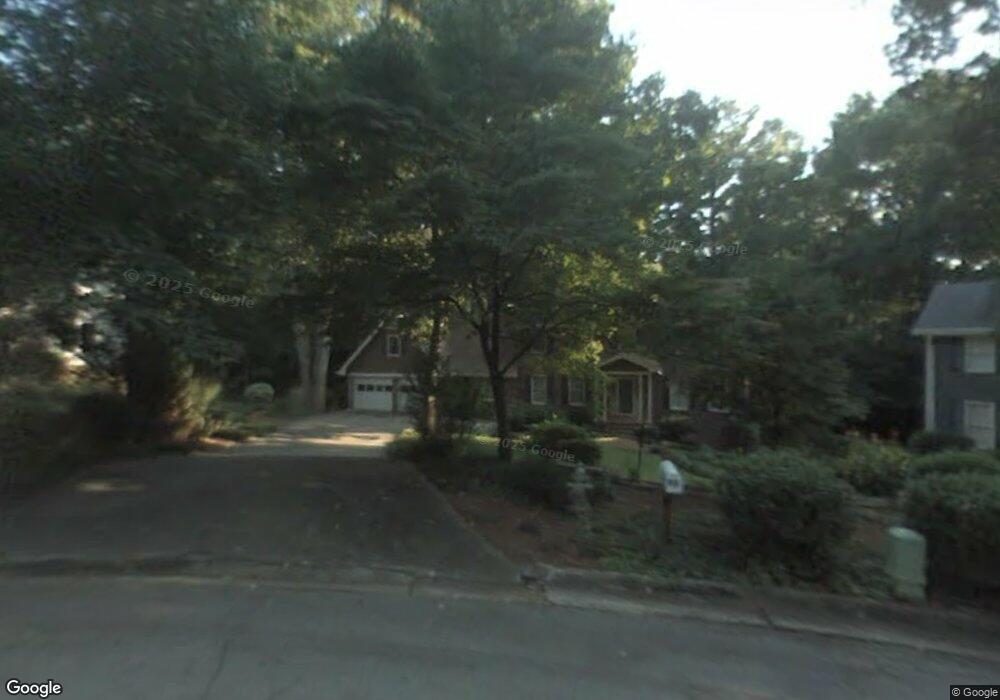
90 Martin Point Ct Unit UN 03 Roswell, GA 30076
Martin's Landing NeighborhoodEstimated Value: $662,000 - $689,244
4
Beds
3
Baths
3,140
Sq Ft
$215/Sq Ft
Est. Value
About This Home
This home is located at 90 Martin Point Ct Unit UN 03, Roswell, GA 30076 and is currently estimated at $674,311, approximately $214 per square foot. 90 Martin Point Ct Unit UN 03 is a home located in Fulton County with nearby schools including Jackson Elementary School, Holcomb Bridge Middle School, and Centennial High School.
Ownership History
Date
Name
Owned For
Owner Type
Purchase Details
Closed on
Apr 21, 2020
Sold by
Ellis Jennifer N
Bought by
Perry Benjamin Adam and Perry Lacy Ewing
Current Estimated Value
Home Financials for this Owner
Home Financials are based on the most recent Mortgage that was taken out on this home.
Original Mortgage
$319,200
Outstanding Balance
$283,304
Interest Rate
3.5%
Mortgage Type
New Conventional
Estimated Equity
$391,007
Purchase Details
Closed on
Apr 26, 2019
Sold by
Crowell Lori Hagle Suc Co Trustee
Bought by
Ellis Jennifer N
Home Financials for this Owner
Home Financials are based on the most recent Mortgage that was taken out on this home.
Original Mortgage
$319,200
Interest Rate
4%
Mortgage Type
New Conventional
Purchase Details
Closed on
Nov 5, 2008
Sold by
Hagle Carol A
Bought by
Hagle Carol A Trust
Create a Home Valuation Report for This Property
The Home Valuation Report is an in-depth analysis detailing your home's value as well as a comparison with similar homes in the area
Home Values in the Area
Average Home Value in this Area
Purchase History
| Date | Buyer | Sale Price | Title Company |
|---|---|---|---|
| Perry Benjamin Adam | $399,000 | -- | |
| Ellis Jennifer N | $399,000 | -- | |
| Hagle Carol A Trust | -- | -- |
Source: Public Records
Mortgage History
| Date | Status | Borrower | Loan Amount |
|---|---|---|---|
| Open | Perry Benjamin Adam | $319,200 | |
| Previous Owner | Ellis Jennifer N | $319,200 |
Source: Public Records
Tax History Compared to Growth
Tax History
| Year | Tax Paid | Tax Assessment Tax Assessment Total Assessment is a certain percentage of the fair market value that is determined by local assessors to be the total taxable value of land and additions on the property. | Land | Improvement |
|---|---|---|---|---|
| 2025 | $916 | $228,840 | $38,440 | $190,400 |
| 2023 | $5,886 | $208,520 | $52,360 | $156,160 |
| 2022 | $4,093 | $191,360 | $31,880 | $159,480 |
| 2021 | $4,768 | $159,600 | $26,120 | $133,480 |
| 2020 | $5,304 | $161,960 | $26,520 | $135,440 |
| 2019 | $529 | $149,560 | $25,280 | $124,280 |
| 2018 | $3,606 | $146,040 | $24,680 | $121,360 |
| 2017 | $2,576 | $100,240 | $16,960 | $83,280 |
| 2016 | $2,575 | $100,240 | $16,960 | $83,280 |
| 2015 | $3,117 | $100,240 | $16,960 | $83,280 |
| 2014 | $2,672 | $100,240 | $16,960 | $83,280 |
Source: Public Records
Map
Nearby Homes
- 1140 Northshore Dr
- 1045 Martin Ridge Rd
- 1265 Northshore Dr
- 300 Cedar Knoll Ct
- 9470 Hillside Dr
- 130 Lakeview Ridge W
- 230 Lakeview Ridge E
- 2020 Rivermont Way
- 0 Riverside Rd Unit 7421838
- 0 Riverside Rd Unit 10339509
- 610 Trailmore Place
- 263 Quail Run
- 324 Teal Ct
- 227 Quail Run
- 645 Trailmore Place
- 309 Quail Run
- 406 Teal Ct
- 311 Quail Run
- 2104 Queen Anne Ct
- 90 Martin Point Ct
- 90 Martin Point
- 85 Martin Point Ct
- 80 Martin Point Ct
- 1100 Northshore Dr
- 1110 Northshore Dr
- 70 Martin Point Ct
- 75 Martin Point Ct Unit 3
- 0 Northshore Dr Unit 7568784
- 0 Northshore Dr Unit 7467448
- 0 Northshore Dr Unit 7392703
- 0 Northshore Dr Unit 3229241
- 0 Northshore Dr Unit 8295250
- 0 Northshore Dr Unit 8677621
- 0 Northshore Dr Unit 8475946
- 0 Northshore Dr Unit 8176261
- 0 Northshore Dr
- 1090 Northshore Dr
- 145 Ridge Point Close
- 155 Ridge Point Close