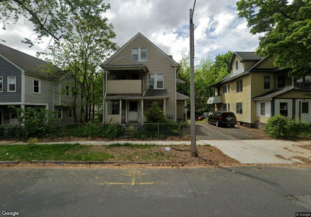
90 Maynard St Unit 92 Springfield, MA 01109
Bay NeighborhoodEstimated Value: $272,946 - $358,000
7
Beds
2
Baths
2,711
Sq Ft
$119/Sq Ft
Est. Value
About This Home
This home is located at 90 Maynard St Unit 92, Springfield, MA 01109 and is currently estimated at $322,237, approximately $118 per square foot. 90 Maynard St Unit 92 is a home located in Hampden County with nearby schools including Homer Street Elementary School, John F. Kennedy Academy, and Springfield High School of Science and Technology.
Ownership History
Date
Name
Owned For
Owner Type
Purchase Details
Closed on
Jan 8, 2003
Sold by
Moore Bill
Bought by
Cutting Carol M and Cutting Gerald B
Current Estimated Value
Purchase Details
Closed on
Oct 22, 1980
Bought by
Cutting Gerald B and Cutting Carol M
Create a Home Valuation Report for This Property
The Home Valuation Report is an in-depth analysis detailing your home's value as well as a comparison with similar homes in the area
Home Values in the Area
Average Home Value in this Area
Purchase History
| Date | Buyer | Sale Price | Title Company |
|---|---|---|---|
| Cutting Carol M | -- | -- | |
| Cutting Gerald B | $5,000 | -- |
Source: Public Records
Tax History
| Year | Tax Paid | Tax Assessment Tax Assessment Total Assessment is a certain percentage of the fair market value that is determined by local assessors to be the total taxable value of land and additions on the property. | Land | Improvement |
|---|---|---|---|---|
| 2025 | $3,224 | $205,600 | $30,000 | $175,600 |
| 2024 | $3,148 | $196,000 | $30,000 | $166,000 |
| 2023 | $2,858 | $167,600 | $27,300 | $140,300 |
| 2022 | $3,149 | $167,300 | $25,500 | $141,800 |
| 2021 | $2,914 | $154,200 | $23,200 | $131,000 |
| 2020 | $2,547 | $130,400 | $23,200 | $107,200 |
| 2019 | $2,411 | $122,500 | $23,200 | $99,300 |
| 2018 | $2,137 | $120,100 | $23,200 | $96,900 |
| 2017 | $2,137 | $108,700 | $23,200 | $85,500 |
| 2016 | $2,029 | $103,200 | $23,200 | $80,000 |
| 2015 | $2,006 | $102,000 | $23,200 | $78,800 |
Source: Public Records
Map
Nearby Homes
- 15 Kenyon St
- 46 Mapledell St
- 65 Montrose St
- 145 Cambridge St
- 52-56 Andrew St
- 25 Dresden St
- 48-50 Dresden St
- 19 Westford Ave
- 283 Wilbraham Rd
- 16 Cambridge St
- 163 Marion St
- 31-33 Suffolk St
- 158 Bowles St
- 21 Clifford St
- 62-64 Bristol St
- 89 Bristol St
- 124-126 Westford Cir
- 290 Quincy St
- 52-54 Aster St
- 16 Amherst St
- 96 Maynard St Unit 98
- 155 College St
- 106-108 Maynard St
- 32 Shattuck St Unit 34
- 106 Maynard St Unit 108
- 159 College St Unit 3
- 159 College St
- 89 Maynard St
- 95 Maynard St
- 85 Maynard St
- 70 Maynard St Unit 72
- 131 College St
- 161 College St
- 71 Maynard St Unit 73
- 146 College St
- 116 Maynard St Unit 118
- 116-118 Maynard St
- 152 College St
- 66 Shattuck St Unit 68
- 66 Maynard St Unit 68
Your Personal Tour Guide
Ask me questions while you tour the home.