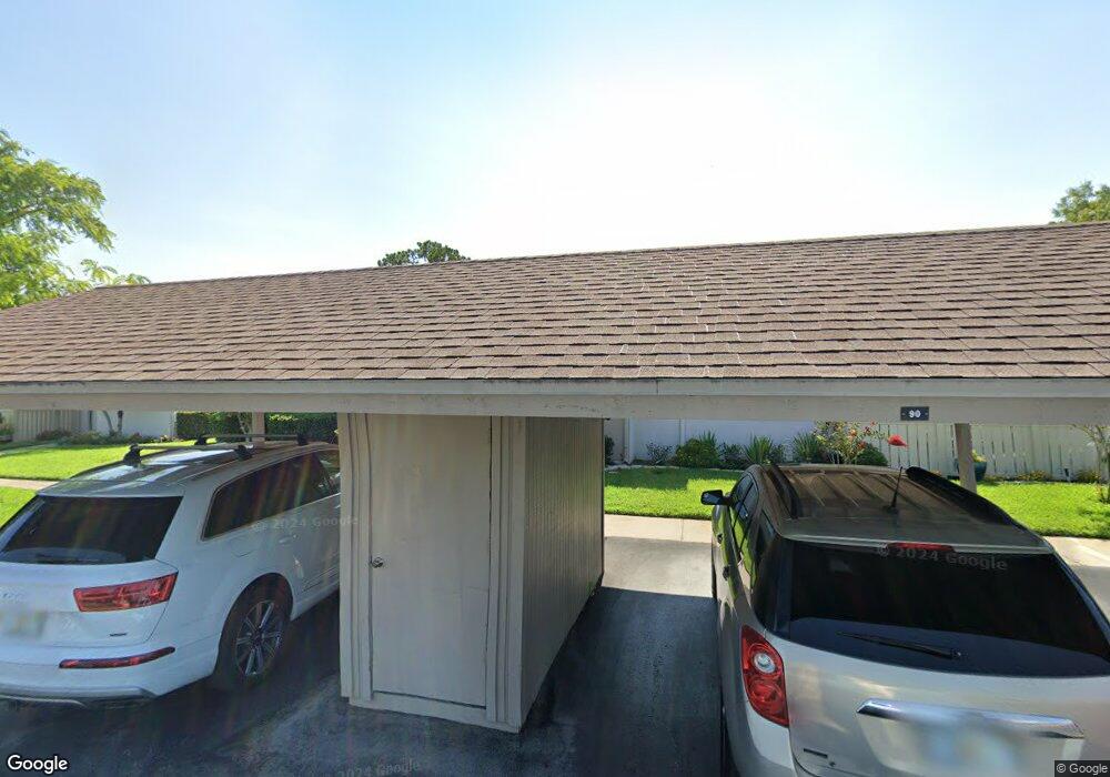
90 Michaels Cir Oldsmar, FL 34677
Estimated Value: $260,551 - $313,000
--
Bed
--
Bath
1,385
Sq Ft
$214/Sq Ft
Est. Value
About This Home
This home is located at 90 Michaels Cir, Oldsmar, FL 34677 and is currently estimated at $295,888, approximately $213 per square foot. 90 Michaels Cir is a home located in Pinellas County with nearby schools including Forest Lakes Elementary School, East Lake High School, and Joseph L. Carwise Middle School.
Ownership History
Date
Name
Owned For
Owner Type
Purchase Details
Closed on
Aug 22, 2001
Sold by
Guy Arthur S and Guy Bernice V
Bought by
Gombos Sharon L
Current Estimated Value
Home Financials for this Owner
Home Financials are based on the most recent Mortgage that was taken out on this home.
Original Mortgage
$60,000
Outstanding Balance
$22,922
Interest Rate
7.18%
Mortgage Type
New Conventional
Estimated Equity
$272,966
Purchase Details
Closed on
Jan 13, 2000
Sold by
Doten Myrtle F and Myrtle F Doten Tr
Bought by
Guy Bernice
Create a Home Valuation Report for This Property
The Home Valuation Report is an in-depth analysis detailing your home's value as well as a comparison with similar homes in the area
Home Values in the Area
Average Home Value in this Area
Purchase History
| Date | Buyer | Sale Price | Title Company |
|---|---|---|---|
| Gombos Sharon L | $110,000 | -- | |
| Guy Bernice | $90,000 | -- |
Source: Public Records
Mortgage History
| Date | Status | Borrower | Loan Amount |
|---|---|---|---|
| Open | Guy Bernice | $60,000 |
Source: Public Records
Tax History Compared to Growth
Tax History
| Year | Tax Paid | Tax Assessment Tax Assessment Total Assessment is a certain percentage of the fair market value that is determined by local assessors to be the total taxable value of land and additions on the property. | Land | Improvement |
|---|---|---|---|---|
| 2025 | $1,211 | $106,263 | -- | -- |
| 2024 | $1,171 | $103,268 | -- | -- |
| 2023 | $1,171 | $100,260 | $0 | $0 |
| 2022 | $1,122 | $97,340 | $0 | $0 |
| 2021 | $1,118 | $94,505 | $0 | $0 |
| 2020 | $1,107 | $93,200 | $0 | $0 |
| 2019 | $1,078 | $91,105 | $0 | $0 |
| 2018 | $1,055 | $89,406 | $0 | $0 |
| 2017 | $1,037 | $87,567 | $0 | $0 |
| 2016 | $1,020 | $85,766 | $0 | $0 |
| 2015 | $988 | $85,170 | $0 | $0 |
| 2014 | $979 | $84,494 | $0 | $0 |
Source: Public Records
Map
Nearby Homes
- 20 Sylvia Place
- 370 S Woodlands Dr
- 180 Ingrid Place
- 4858 Augusta Ave
- 100 Ingrid Place
- 219 Caryl Way Unit 219
- 50 Ingrid Place
- 206 Caryl Way Unit 1
- 214 Caryl Way
- 4859 Augusta Ave
- 140 Nina Way Unit 40
- 124 Nina Way Unit 24
- 113 Nina Way
- 4915 Augusta Ave
- 306 Martha Ln Unit 42
- 210 Martha Ln
- 129 Woodlake Wynde Unit 129
- 222 Woodlake Wynde Unit 22
- 204 Mary Dr
- 4874 Westchester Ct
- 80 Michaels Cir
- 80 Michaels Cir Unit 80
- 70 Michaels Cir
- 110 Michaels Cir
- 60 Michaels Cir Unit 2
- 60 Michaels Cir
- 100 Michaels Cir
- 120 Michaels Cir
- 50 Michaels Cir Unit 5
- 290 Michaels Cir
- 300 Michaels Cir
- 40 Michaels Cir
- 130 Michaels Cir
- 310 Michaels Cir
- 280 Michaels Cir
- 320 Michaels Cir
- 320 Michaels Cir Unit 2
- 260 Michaels Cir
- 30 Michaels Cir
- 140 Michaels Cir