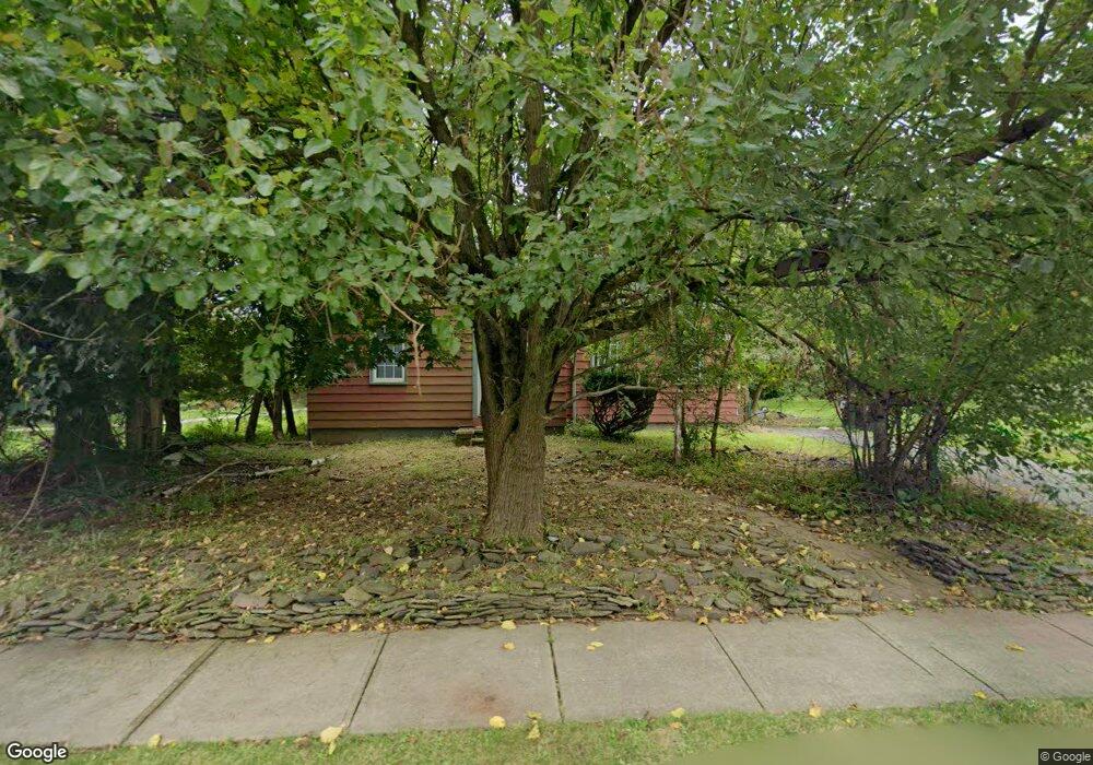
90 Mine St Flemington, NJ 08822
Estimated Value: $390,000 - $456,000
Studio
--
Bath
1,108
Sq Ft
$383/Sq Ft
Est. Value
About This Home
This home is located at 90 Mine St, Flemington, NJ 08822 and is currently estimated at $424,890, approximately $383 per square foot. 90 Mine St is a home located in Hunterdon County with nearby schools including Robert Hunter Elementary School, Reading Fleming Intermediate School, and J.P. Case Middle School.
Ownership History
Date
Name
Owned For
Owner Type
Purchase Details
Closed on
May 28, 2004
Sold by
Tarrant Alice L
Bought by
Tarrant William
Current Estimated Value
Home Financials for this Owner
Home Financials are based on the most recent Mortgage that was taken out on this home.
Original Mortgage
$187,500
Outstanding Balance
$94,715
Interest Rate
6.5%
Mortgage Type
New Conventional
Estimated Equity
$330,175
Purchase Details
Closed on
Sep 11, 1992
Sold by
Stout Richard J and Stout Fay,Linda
Bought by
Tarrant Alice L and Tarrant William
Create a Home Valuation Report for This Property
The Home Valuation Report is an in-depth analysis detailing your home's value as well as a comparison with similar homes in the area
Home Values in the Area
Average Home Value in this Area
Purchase History
| Date | Buyer | Sale Price | Title Company |
|---|---|---|---|
| Tarrant William | -- | -- | |
| Tarrant Alice L | $129,900 | -- |
Source: Public Records
Mortgage History
| Date | Status | Borrower | Loan Amount |
|---|---|---|---|
| Open | Tarrant William | $187,500 |
Source: Public Records
Tax History Compared to Growth
Tax History
| Year | Tax Paid | Tax Assessment Tax Assessment Total Assessment is a certain percentage of the fair market value that is determined by local assessors to be the total taxable value of land and additions on the property. | Land | Improvement |
|---|---|---|---|---|
| 2025 | $8,676 | $330,700 | $145,900 | $184,800 |
| 2024 | $8,375 | $308,100 | $135,000 | $173,100 |
| 2023 | $8,375 | $288,800 | $126,200 | $162,600 |
| 2022 | $8,274 | $274,600 | $119,100 | $155,500 |
| 2021 | $7,927 | $262,000 | $112,300 | $149,700 |
| 2020 | $8,180 | $257,400 | $111,200 | $146,200 |
| 2019 | $7,927 | $254,900 | $109,900 | $145,000 |
| 2018 | $7,735 | $252,700 | $108,800 | $143,900 |
| 2017 | $7,653 | $248,000 | $108,800 | $139,200 |
| 2016 | $7,611 | $242,400 | $106,700 | $135,700 |
| 2015 | $7,296 | $238,900 | $106,700 | $132,200 |
| 2014 | $6,953 | $234,200 | $105,600 | $128,600 |
Source: Public Records
Map
Nearby Homes
- 8 Village Ct
- 100 State Route 12
- 3 Vinson Dr
- 5 William Martin Way Unit 5
- 1 Walters Ln
- 101 Village Commons
- 14 Pony Ln
- 12 Corcoran St
- 602 Village Commons
- 81 Elwood Ave
- 92 Park Ave
- 15 Colts Ln
- 312 George Wilson Blvd
- 603 Nottingham Way
- 10 Penny Ln
- 19 Donna Dr
- 6 Canterberry Cir
- 17 Londonderry Dr
- 0 Hardscrabble Hill Rd
- 29 Royal Rd
- 6 Coppermine Village
- 7 Coppermine Village
- 8 Coppermine Village
- 5 Coppermine Village
- 9 Coppermine Village
- 4 Coppermine Village
- 3 Coppermine Village
- 10 Coppermine Village
- 11 Coppermine Village
- 2 Coppermine Village
- 14 Coppermine Village
- 13 Coppermine Village
- 15 Coppermine Village
- 16 Coppermine Village
- 78 Mine St
- 12 Coppermine Village
- 17 Coppermine Village
- 94 Mine St
- 18 Coppermine Village
- 89 Mine St