90 Myrtle St Ardmore, OK 73401
Estimated Value: $280,000 - $307,000
3
Beds
2
Baths
1,584
Sq Ft
$186/Sq Ft
Est. Value
About This Home
This home is located at 90 Myrtle St, Ardmore, OK 73401 and is currently estimated at $295,114, approximately $186 per square foot. 90 Myrtle St is a home located in Carter County with nearby schools including Plainview Primary School, Plainview Intermediate School, and Plainview Middle School.
Ownership History
Date
Name
Owned For
Owner Type
Purchase Details
Closed on
Jun 21, 2006
Sold by
Bondurant Jimmy Ray and Bondurant Deborah L
Bought by
Longest Robert O and Longest Janis L
Current Estimated Value
Home Financials for this Owner
Home Financials are based on the most recent Mortgage that was taken out on this home.
Original Mortgage
$110,000
Outstanding Balance
$5,653
Interest Rate
6.58%
Mortgage Type
New Conventional
Estimated Equity
$289,461
Create a Home Valuation Report for This Property
The Home Valuation Report is an in-depth analysis detailing your home's value as well as a comparison with similar homes in the area
Home Values in the Area
Average Home Value in this Area
Purchase History
| Date | Buyer | Sale Price | Title Company |
|---|---|---|---|
| Longest Robert O | $167,500 | -- |
Source: Public Records
Mortgage History
| Date | Status | Borrower | Loan Amount |
|---|---|---|---|
| Open | Longest Robert O | $110,000 |
Source: Public Records
Tax History Compared to Growth
Tax History
| Year | Tax Paid | Tax Assessment Tax Assessment Total Assessment is a certain percentage of the fair market value that is determined by local assessors to be the total taxable value of land and additions on the property. | Land | Improvement |
|---|---|---|---|---|
| 2025 | $1,767 | $20,302 | $3,322 | $16,980 |
| 2024 | $1,767 | $19,711 | $3,225 | $16,486 |
| 2023 | $1,711 | $19,137 | $3,148 | $15,989 |
| 2022 | $1,587 | $18,580 | $3,044 | $15,536 |
| 2021 | $1,584 | $18,039 | $2,922 | $15,117 |
| 2020 | $1,552 | $17,514 | $2,847 | $14,667 |
| 2019 | $1,465 | $17,003 | $2,805 | $14,198 |
| 2018 | $1,407 | $16,507 | $2,686 | $13,821 |
| 2017 | $1,371 | $16,028 | $2,616 | $13,412 |
| 2016 | $1,327 | $15,560 | $1,348 | $14,212 |
| 2015 | $1,311 | $15,108 | $1,356 | $13,752 |
| 2014 | $1,258 | $14,668 | $1,356 | $13,312 |
Source: Public Records
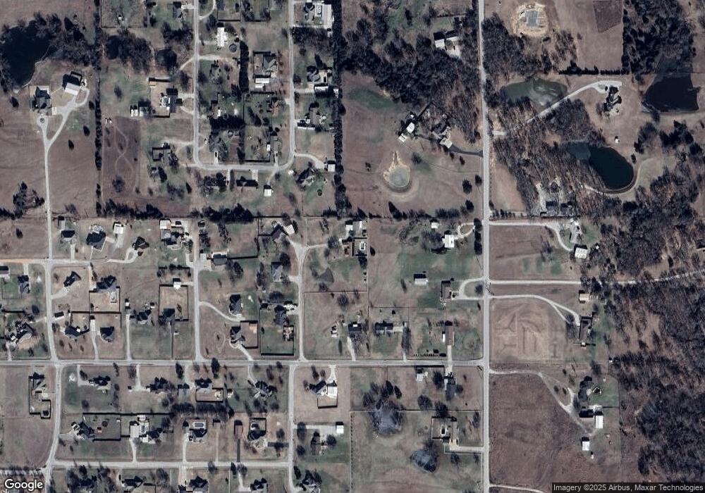
Map
Nearby Homes
- 0 Foxden Rd Unit 2511367
- 319 Cross Creek Cir
- 145 Cross Creek Cir
- 5648 Myall Rd
- 00 Bob White Rd
- 7023 Myall Rd SW
- 7241 Myall Rd
- 0000 White Tail Ln
- 0 High Chaparal Dr Unit 2525272
- 5705 S Brock Rd
- 803 Indian Plains Rd
- 737 Indian Plains Rd
- 815 Indian Plains Rd
- 725 Indian Plains Rd
- 0000 Chadwick Ln
- 909 Indian Plains Rd
- 921 Indian Plains Rd
- 925 Indian Plains Rd
- 40 Whipperwill St
- 1022 Indian Plains Rd
- 79 Myrtle St
- 331 Abshire Cir
- 95 Myrtle St
- 124 Gayle St
- 88 Gayle Rd
- 88 Gayle St
- 3053 Foxden Rd
- 39 Myrtle St
- 2999 Foxden Rd
- 30 Gayle St
- 371 Abshire Cir
- 38 Landers Dr
- 86 Lander Dr
- 316 Abshire Cir
- 401 Abshire Cir
- 139 Gayle St
- 293 Abshire Cir
- 0 Gayle Rd Unit 32553
- 0 Foxden Rd Unit 24928
- 0 Foxden Rd Unit 28619