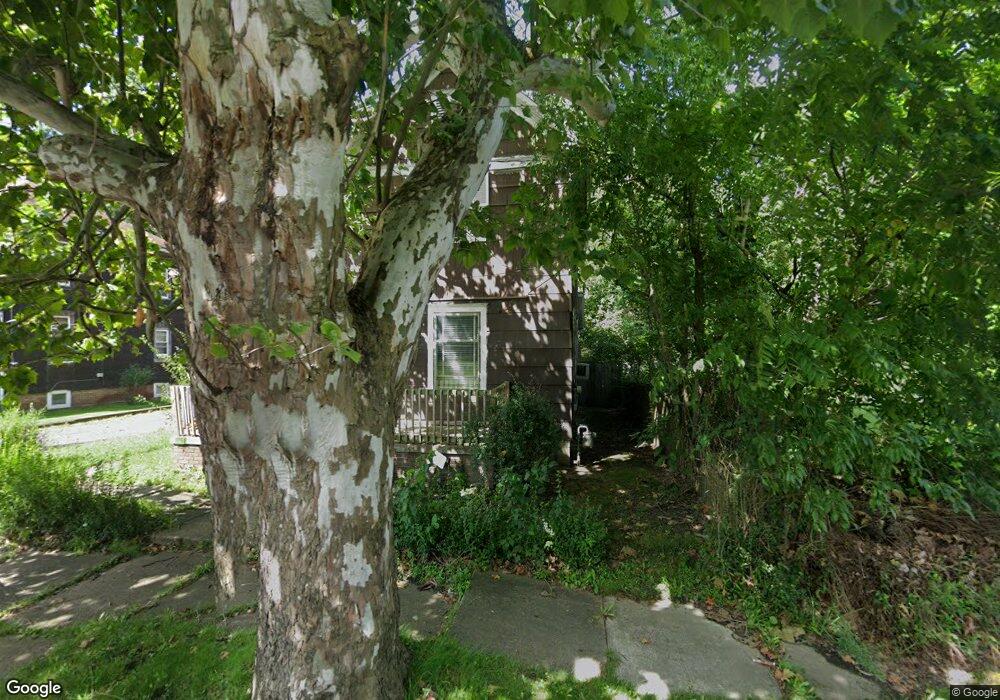
90 N Mahoning Ave Alliance, OH 44601
Estimated Value: $64,823 - $103,000
3
Beds
2
Baths
1,416
Sq Ft
$59/Sq Ft
Est. Value
About This Home
This home is located at 90 N Mahoning Ave, Alliance, OH 44601 and is currently estimated at $82,956, approximately $58 per square foot. 90 N Mahoning Ave is a home located in Stark County with nearby schools including Alliance Early Learning School, Alliance Intermediate School at Northside, and Alliance Middle School.
Ownership History
Date
Name
Owned For
Owner Type
Purchase Details
Closed on
Oct 30, 2001
Sold by
Young Effie D K
Bought by
Scott Richard W and Scott Chrystal D
Current Estimated Value
Home Financials for this Owner
Home Financials are based on the most recent Mortgage that was taken out on this home.
Original Mortgage
$43,650
Interest Rate
6.8%
Mortgage Type
Purchase Money Mortgage
Purchase Details
Closed on
Sep 27, 2000
Sold by
Young Leo
Bought by
Young Effie D Kirksey
Create a Home Valuation Report for This Property
The Home Valuation Report is an in-depth analysis detailing your home's value as well as a comparison with similar homes in the area
Home Values in the Area
Average Home Value in this Area
Purchase History
| Date | Buyer | Sale Price | Title Company |
|---|---|---|---|
| Scott Richard W | $45,000 | -- | |
| Young Effie D Kirksey | -- | -- |
Source: Public Records
Mortgage History
| Date | Status | Borrower | Loan Amount |
|---|---|---|---|
| Closed | Scott Richard W | $43,650 |
Source: Public Records
Tax History Compared to Growth
Tax History
| Year | Tax Paid | Tax Assessment Tax Assessment Total Assessment is a certain percentage of the fair market value that is determined by local assessors to be the total taxable value of land and additions on the property. | Land | Improvement |
|---|---|---|---|---|
| 2025 | -- | $8,610 | $2,660 | $5,950 |
| 2024 | -- | $8,610 | $2,660 | $5,950 |
| 2023 | $248 | $6,030 | $530 | $5,500 |
| 2022 | $250 | $6,030 | $530 | $5,500 |
| 2021 | $251 | $6,030 | $530 | $5,500 |
| 2020 | $192 | $4,310 | $390 | $3,920 |
| 2019 | $184 | $4,320 | $390 | $3,930 |
| 2018 | $185 | $4,320 | $390 | $3,930 |
| 2017 | $175 | $4,000 | $320 | $3,680 |
| 2016 | $176 | $4,000 | $320 | $3,680 |
| 2015 | $178 | $4,000 | $320 | $3,680 |
| 2014 | $200 | $4,280 | $530 | $3,750 |
| 2013 | $100 | $4,280 | $530 | $3,750 |
Source: Public Records
Map
Nearby Homes
- 1214 Jersey St
- 263 Franklin Ave
- 142 S Seneca Ave
- 652 N Webb Ave
- V/L S Fredeom Ave
- 831 Wade Ave
- 361 E Main St
- 356 E Broadway St
- 432 S Linden Ave
- 814 Milner St
- 452 E Summit St
- 1044 S Liberty Ave
- 710 N Freedom Ave
- 1233 Woodland Ave
- 11310 Webb Ave NE
- 1005 S Freedom Ave
- 124 E Wayne St
- 1175 S Freedom Ave
- 551 South St
- 1395 S Webb Ave
- 82 N Mahoning Ave
- 98 N Mahoning Ave
- 1431 Jersey St
- 68 N Mahoning Ave
- 1423 Jersey St
- 85 N Mahoning Ave
- 66 N Mahoning Ave
- 1415 Jersey St
- 97 N Mahoning Ave
- 44 N Mahoning Ave
- 1415 E Patterson St
- 30 N Mahoning Ave
- 13582 Stanley Ave
- 13564 Stanley Ave
- 67 N Mahoning Ave
- 13610 Stanley Ave
- 1338 Jersey St
- 1432 Front St
- 13622 Stanley Ave
- 1434 Front St