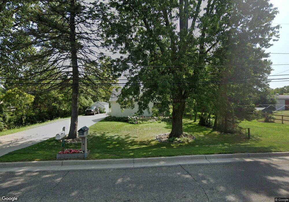
90 N Main St Quincy, MI 49082
Estimated Value: $149,583 - $163,000
--
Bed
--
Bath
1,614
Sq Ft
$96/Sq Ft
Est. Value
About This Home
This home is located at 90 N Main St, Quincy, MI 49082 and is currently estimated at $154,146, approximately $95 per square foot. 90 N Main St is a home located in Branch County with nearby schools including Jennings Elementary School, Quincy Middle School, and Quincy High School.
Ownership History
Date
Name
Owned For
Owner Type
Purchase Details
Closed on
Nov 2, 2017
Sold by
Hemker Mark L and Hemker Cerinnda L
Bought by
Pomranka Scott and Pomranka Freda
Current Estimated Value
Purchase Details
Closed on
Nov 1, 2017
Sold by
Berry Nancy J
Bought by
Mark L Hemker & Cerinnda L Hemker Family
Purchase Details
Closed on
Nov 8, 2007
Sold by
Berry Nancy J and Berry James R
Bought by
Pomranka Scott and Pomranka Freda
Purchase Details
Closed on
Jan 25, 2001
Bought by
Berry James R and Berry Nancy J
Create a Home Valuation Report for This Property
The Home Valuation Report is an in-depth analysis detailing your home's value as well as a comparison with similar homes in the area
Home Values in the Area
Average Home Value in this Area
Purchase History
| Date | Buyer | Sale Price | Title Company |
|---|---|---|---|
| Pomranka Scott | $50,000 | Branch County Abstract & Tit | |
| Mark L Hemker & Cerinnda L Hemker Family | -- | Branch County Abstract & Tit | |
| Pomranka Scott | -- | Branch County Abstract & Tit | |
| Berry James R | $42,000 | -- |
Source: Public Records
Tax History Compared to Growth
Tax History
| Year | Tax Paid | Tax Assessment Tax Assessment Total Assessment is a certain percentage of the fair market value that is determined by local assessors to be the total taxable value of land and additions on the property. | Land | Improvement |
|---|---|---|---|---|
| 2025 | $1,173 | $78,236 | $0 | $0 |
| 2024 | $1,019 | $76,421 | $0 | $0 |
| 2023 | $942 | $74,356 | $0 | $0 |
| 2022 | $942 | $63,211 | $0 | $0 |
| 2021 | -- | $59,260 | $0 | $0 |
| 2020 | -- | $56,652 | $0 | $0 |
| 2019 | -- | $44,128 | $0 | $0 |
| 2018 | -- | $35,447 | $0 | $0 |
| 2017 | -- | $34,466 | $0 | $0 |
| 2016 | -- | $32,953 | $0 | $0 |
| 2015 | -- | $33,974 | $0 | $0 |
| 2014 | -- | $31,299 | $0 | $0 |
| 2013 | -- | $30,899 | $0 | $0 |
Source: Public Records
Map
Nearby Homes
- 1014 Aguadero Pkwy
- 69 N Main St
- 9 Cole St
- 34 Park St
- 42 W Chicago St
- 46 W Chicago St
- 34 W Liberty St
- 78 Taylor St
- 44 Berry St
- 1085 E Chicago Rd Unit B
- 1085 E Chicago Rd Unit A
- 1085 E Chicago Rd
- 424 Doris St
- 912 Beckwith Shore
- 988 Williams Dr
- 216 Sandalwood Dr
- 0 Wildwood Rd
- 732 Cambridge Dr
- 4251 Squires Rd
- 808 Rolling Meadows Dr
- 95 N Main St
- 83 N Main St
- 82 N Main St
- 80 N Main St
- 1008 Aguadero Pkwy Unit 28
- 1010 Aguadero Pkwy Unit 29
- 1012 Aguadero Pkwy Unit 30
- 79 N Main St
- 78 N Main St
- 1015 Aguadero Pkwy Unit 38
- 1011 Aguadero Pkwy Unit 36
- 1023 Aguadero Pkwy Unit 42
- 1009 Aguadero Pkwy Unit 35
- 1019 Aguadero Pkwy Unit 40
- 1021 Aguadero Pkwy Unit 41
- 1017 Aguadero Pkwy Unit 39
- 473 Equestrian Way Unit 22
- 477 Equestrian Way Unit 24
- 475 Equestrian Way Unit 23
- 498 Equestrian Way Unit 20