Estimated Value: $357,830 - $460,000
3
Beds
2
Baths
2,071
Sq Ft
$187/Sq Ft
Est. Value
About This Home
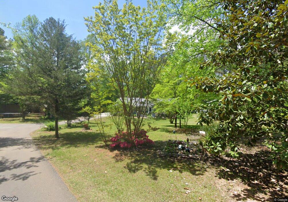
This home is located at 90 Nelson Path, Hiram, GA 30141 and is currently estimated at $386,958, approximately $186 per square foot. 90 Nelson Path is a home with nearby schools including Sam D. Panter Elementary School, J. A. Dobbins Middle School, and Hiram High School.
Ownership History
Date
Name
Owned For
Owner Type
Purchase Details
Closed on
Aug 4, 1999
Sold by
Nelson David P and Nelson Carol A
Bought by
Nelson David P and Nelson Carol
Current Estimated Value
Home Financials for this Owner
Home Financials are based on the most recent Mortgage that was taken out on this home.
Original Mortgage
$78,750
Interest Rate
7.73%
Mortgage Type
New Conventional
Purchase Details
Closed on
Oct 22, 1993
Sold by
Nelson David
Create a Home Valuation Report for This Property
The Home Valuation Report is an in-depth analysis detailing your home's value as well as a comparison with similar homes in the area
Home Values in the Area
Average Home Value in this Area
Purchase History
| Date | Buyer | Sale Price | Title Company |
|---|---|---|---|
| Nelson David P | -- | -- | |
| -- | -- | -- |
Source: Public Records
Mortgage History
| Date | Status | Borrower | Loan Amount |
|---|---|---|---|
| Closed | Nelson David P | $78,750 |
Source: Public Records
Tax History
| Year | Tax Paid | Tax Assessment Tax Assessment Total Assessment is a certain percentage of the fair market value that is determined by local assessors to be the total taxable value of land and additions on the property. | Land | Improvement |
|---|---|---|---|---|
| 2025 | $3,519 | $145,680 | $21,080 | $124,600 |
| 2024 | $3,456 | $142,160 | $21,080 | $121,080 |
| 2023 | $3,477 | $135,888 | $20,520 | $115,368 |
| 2022 | $3,056 | $119,092 | $15,840 | $103,252 |
| 2021 | $2,573 | $90,388 | $12,360 | $78,028 |
| 2020 | $2,384 | $82,108 | $11,680 | $70,428 |
| 2019 | $2,165 | $73,728 | $12,360 | $61,368 |
| 2018 | $2,063 | $70,328 | $10,640 | $59,688 |
| 2017 | $1,875 | $63,248 | $10,200 | $53,048 |
| 2016 | $1,581 | $54,144 | $10,200 | $43,944 |
| 2015 | $1,502 | $50,644 | $10,000 | $40,644 |
| 2014 | $1,387 | $45,792 | $9,200 | $36,592 |
| 2013 | -- | $37,320 | $10,120 | $27,200 |
Source: Public Records
Map
Nearby Homes
- 552 Rich Davis Rd
- 3124 Hiram Sudie Rd
- 6488 Nebo Rd
- 7012 Nebo Rd
- 133 Willow Bend Dr
- 149 Willow Bend Dr
- 2393 Bill Carruth Pkwy
- 133 Willow Bend Rd
- 149 Willow Bend Rd
- 44 Fawn Trail
- 261 Township Dr
- 74 Bonds Ct
- 7606 Nebo Rd
- 28 Lanier Crossing
- 64 Cove Dr
- 322 Lanier Ct
- 645 Davis Rd
- 725 Laird Rd
- 143 Birch St
- 328 Phillips Lee Rd
- 655 Rich Davis Rd
- 471 Rich Davis Rd
- 102 Nelson Path
- 549 Rich Davis Rd
- 661 Rich Davis Rd
- 639 Rich Davis Rd
- 665 Rich Davis Rd
- 501 Rich Davis Rd
- 417 Rich Davis Rd
- 138 Nelson Path
- 594 Rich Davis Rd
- 422 Rich Davis Rd
- 205 Nelson Path
- 663 Rich Davis Rd
- 309 Rich Davis Rd
- 297 Gold Creek Trail
- 574 Rich Davis Rd
- 364 Rich Davis Rd
- 694 Rich Davis Rd
- 348 Rich Davis Rd